 Hiking
 Login
Login
 More
More
 EN
EN
 Premium
Along fields, castles and horses around Laarne
automatic translation
13 km • Laarne
3.2707 0 0/5

 Addresse starting point (approximate)
Kasteeldreef 43, 9270 Heusden, BE
 signage
The route is not signposted. Use a GPS device or our app to follow the route.
 Description
Park for free on Kasteeldreef in Laarne.
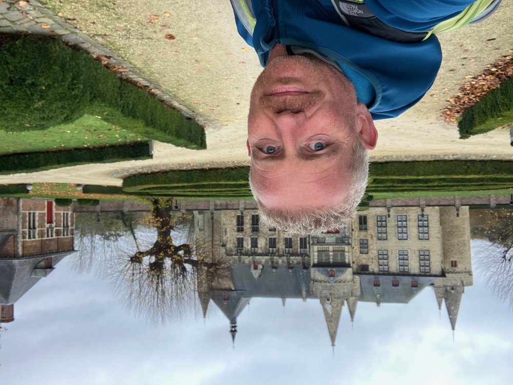
Your walk begins and ends at one of the best-preserved moated castles in Belgium, dating from the 13th century. As fairy-tale as the façade is, the scenes that took place here in the 16th century were equally grim: the six infamous witch trials of Laarne.
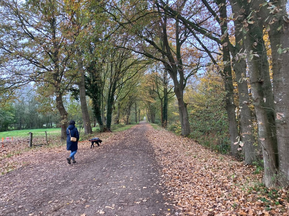
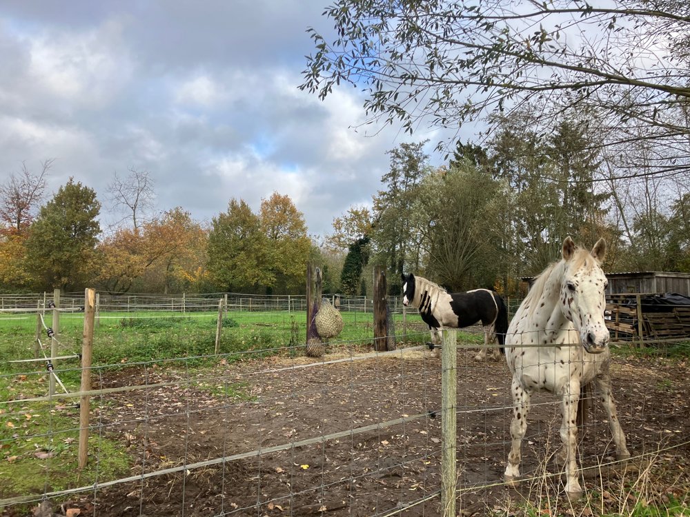
Along quiet asphalt roads and a network of unpaved country paths, you will discover the rural character just outside Ghent. You will be pleasantly surprised by the wide views and sometimes unusual names like Koewegstraat, Kieckenshagewegel, and Brugskes Wiee. Horse enthusiasts will surely enjoy the numerous meadows. Given the network for riders, it is best to keep dogs on a leash.
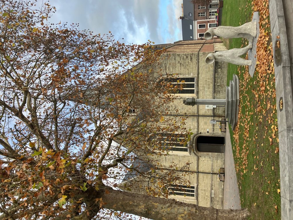
After a possible pitstop in the center of Laarne, you venture through Prullenbos in search of the banks of the Scheldt. You will cross large tree and plant nurseries, but just before the Scheldt, you turn back towards Ten Ede and the idyllic recreational area Prullenbos (catering).
High hiking boots are recommended.
automatic translation


 Upgrade to Premium Plus
