
 Hiking
 Login
Login
 More
More
 EN
EN
 Premium
🌿 Retie, a loop full of water and small surprises
automatic translation
11.4 km • Retie
2.5954 0 0/5

 Addresse starting point (approximate)
Groenedijk 15, 2470 Retie, BE
 signage
The route is fully signposted with nodes.
 Description
We went on this walk on 11/11/2025 (14,641 steps).
Starting at the André Zajac Stadium in Hodonk, with ample parking available. We walked the loop clockwise, first along quiet roads in the tranquil rhythm of the Kempen.
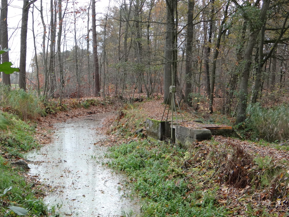
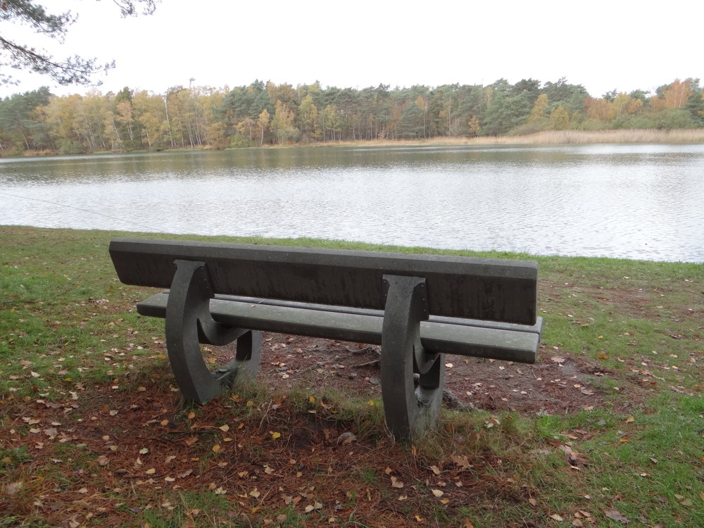
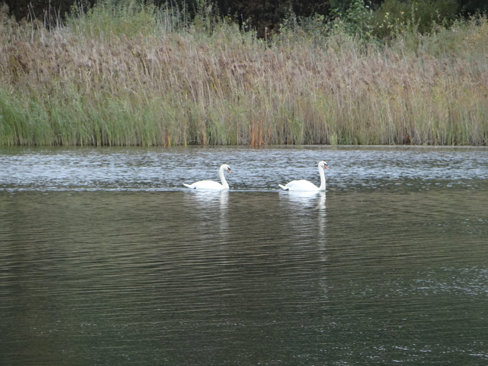
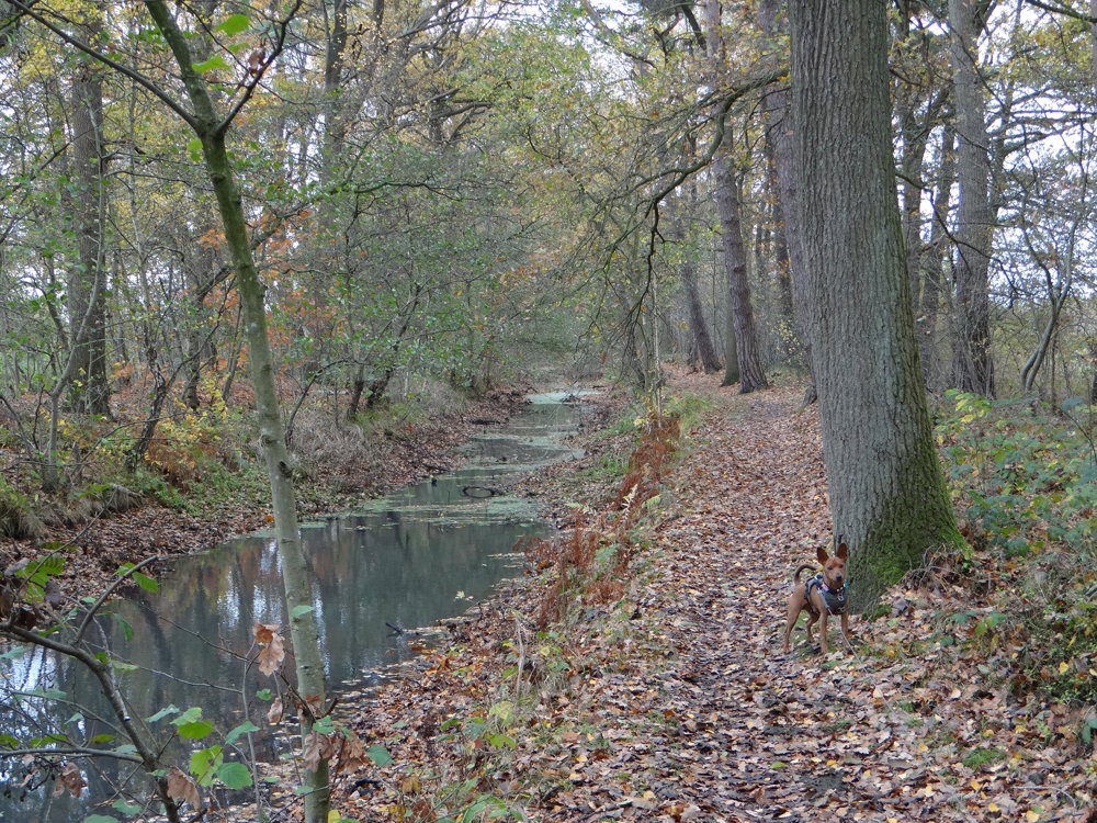
The Goorvijver soon appears: a silent body of water full of reeds and reflections. We then follow the Colateur, a winding ditch through surprisingly green countryside. This waterway takes us almost back to our starting point. Along the way, we pass Camping Berkenstrand, remarkably quiet, a peaceful stop in an area usually teeming with life.
The route closes almost unnoticed, with a final bend towards the stadium. A walk that breathes simplicity and serenity, with water as a silent companion. Ideal for those who love peace, nature, and a hint of wonder.
More photos: https://photos.app.goo.gl/RGSc94CScrk7WdJ18
Happy walking, Eddy, Rita, and Prinske
automatic translation
 nodes to follow
0 km
0.3 km
1.4 km
2.3 km
2.9 km
3.1 km
3.8 km
5.5 km
6.3 km
6.8 km
7.5 km
9.8 km
10.8 km
10.8 km
11.2 km

11.4 km



 Upgrade to Premium Plus


