
 Hiking
 Login
Login
 More
More
 EN
EN
 Premium
🐾 Prinske's path through Pontfort and Kortijnen 🐕
automatic translation
12.2 km • Retie
4.0452 0 0/5

 Addresse starting point (approximate)
Kasteelstraat 71, 2470 Geenend-Meierend-Bosend, BE
 signage
The route is fully signposted with nodes.
 Description
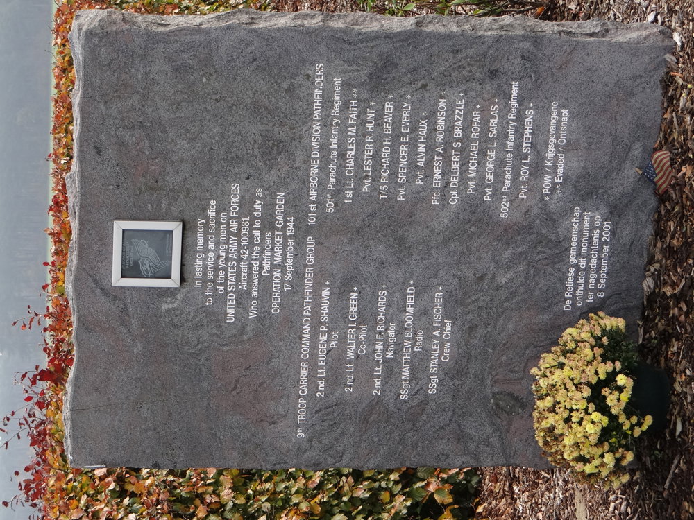
We did this walk on 09/11/2025 (15,315 steps).
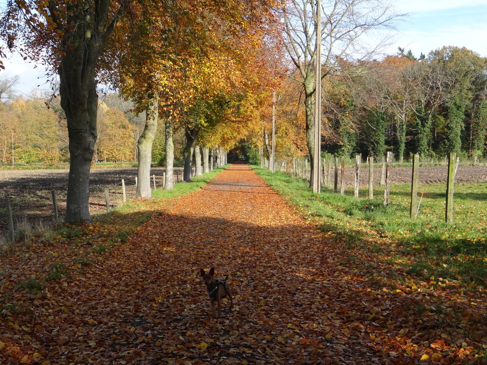
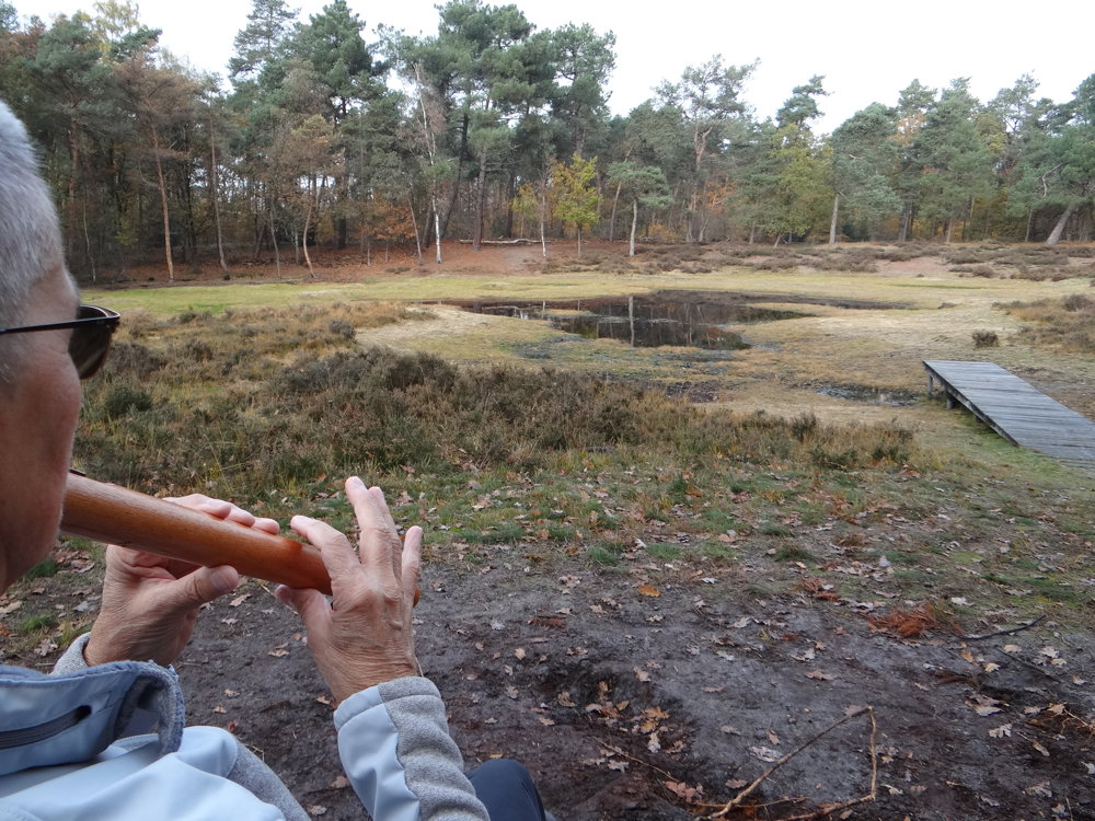
Starting from the Lindenlaan, you dive into the rural Retie after just 600 meters along the Kasteelstraat. The route runs counterclockwise and meanders through a surprisingly varied landscape: from shady wooded strips to open fields, a piece of heathland, and low-traffic streets.
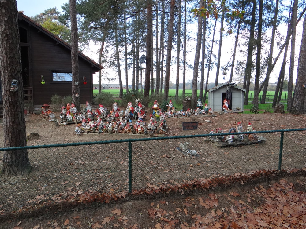
Along the way, you pass a series of characterful farmsteads, silent witnesses to the region's agricultural past. The Chapel of Pontfort forms a subdued resting point, while the Katte Bridge on the Pontfortsedijk leads you over a narrow, winding stream, the Kleine Nete in its most modest form.
Although the Castle of Retie remains just out of sight, you can feel the historical layers of the environment in every path and panorama. The route is well signposted via nodes and combines nature experience with heritage.
More photos: https://photos.app.goo.gl/2KaeWE6SojQaJEcE7
Happy hiking,
Eddy, Rita, and Prinske
automatic translation
 nodes to follow
0 km
1.3 km
1.7 km
1.8 km
2.5 km
3.2 km
3.2 km
4.4 km
5 km

5.1 km
5.2 km
5.3 km
5.9 km
6.8 km
7.1 km
8 km
8.9 km
9.1 km
9.6 km
11 km
11.2 km
12.2 km



 Upgrade to Premium Plus


