 Hiking
 Login
Login
 More
More
 EN
EN
 Premium
Hof ten Houtwandeling
9.2 km • Sint-Genesius-Rode
 official route
3.3833 3 3.2/5
route offered by
 Addresse starting point (approximate)
Sint-Genesiuskerk, Dorpsstraat 40, 1640 Sint-Genesius-Rode
 signage
The route is signposted with thematic signs (no nodes). You can use a GPS device or our app to follow the route through the virtual nodes.
 Description
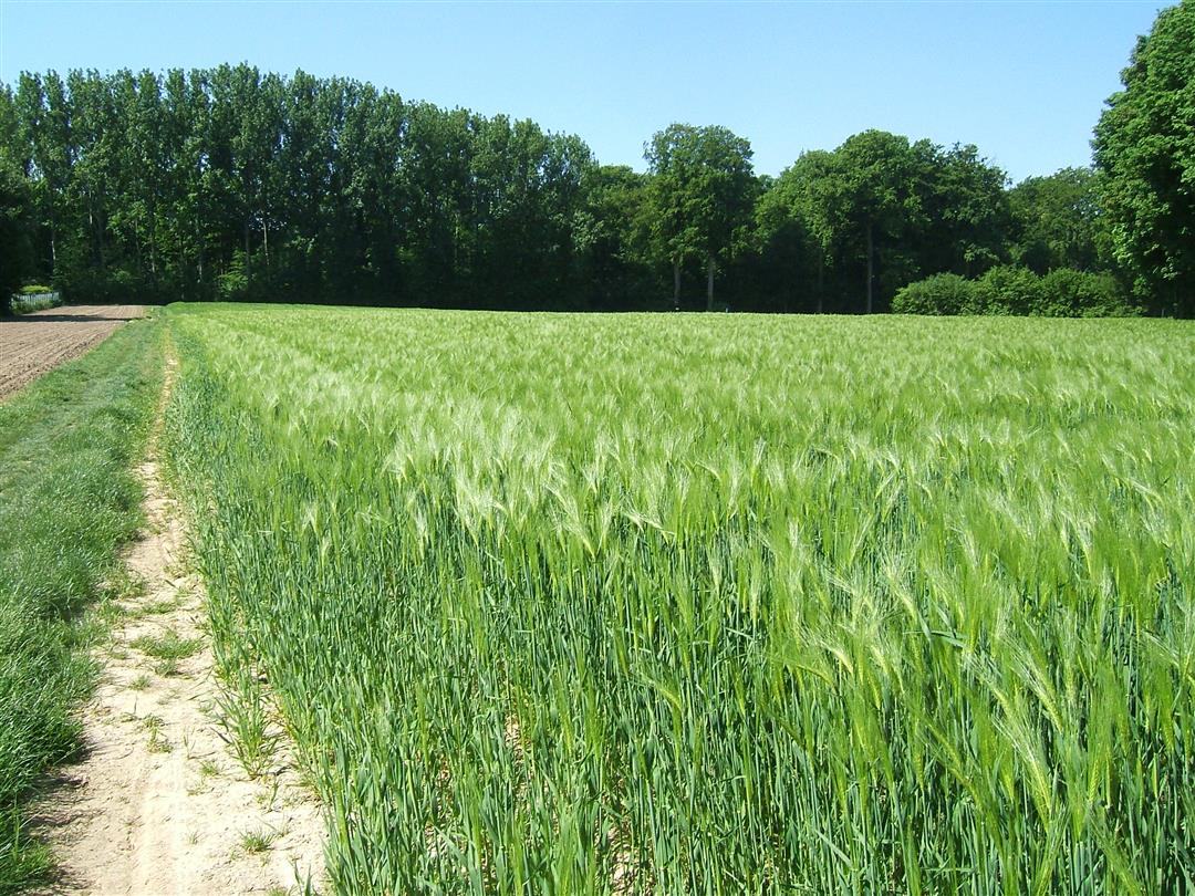
The Hof ten Hout and Sint-Gertrudis farms are impressive. On the farm anchors at Hof ten Hout, you can make out the year 1750. The Sint-Gertrudis farmstead, with its distinctive entrance gate, is more recent. It was built in the 19th century and is surrounded by fields and a standard-tree orchard. Admire both of them during this green walk along field and forest paths in a surprising corner of Sint-Genesius-Rode. From one of the many vantage points, you’ll spot the Lion of Waterloo.
Before you set out: This is a walk on a digital network. The junctions are not marked on the ground. Follow the hexagonal signs labeled “Hof ten Houtwandeling.”
automatic translation
 nodes to follow
0 km
0.2 km
0.9 km
1.5 km
2.4 km
3.4 km
5.5 km
7.6 km
8.5 km
9.2 km
Wednesday, December 11, 2024 by M.D.Very nice tour, but beware: the trail is totally underwater in one place and cut off in another due to tree felling, so we had to go around it.
automatic translation
Thursday, April 1, 2021 by J.H.Problem of signage has apparently not been fixed yet. About in the middle of the hike a sign is missing, which you then find about a kilometer further back next to another sign. Apparently someone took it and left it there.
automatic translation
Sunday, June 28, 2020 by A.D.Signage is absent in some places.
automatic translation


 Upgrade to Premium Plus
