
 Hiking
 Login
Login
 More
More
 EN
EN
 Premium
The Malpie: heath, pond, forest, peace and pancakes
automatic translation
13 km • Valkenswaard
4.0174 0 0/5

 Addresse starting point (approximate)
Venbergseweg 42, 5551 TJ Verspreide huizen Turfbergse Heide Nederheide, NL
 signage
The route is partially signposted with nodes. Use a GPS device or our app to follow the route.
 Description
Park for free near point 63.
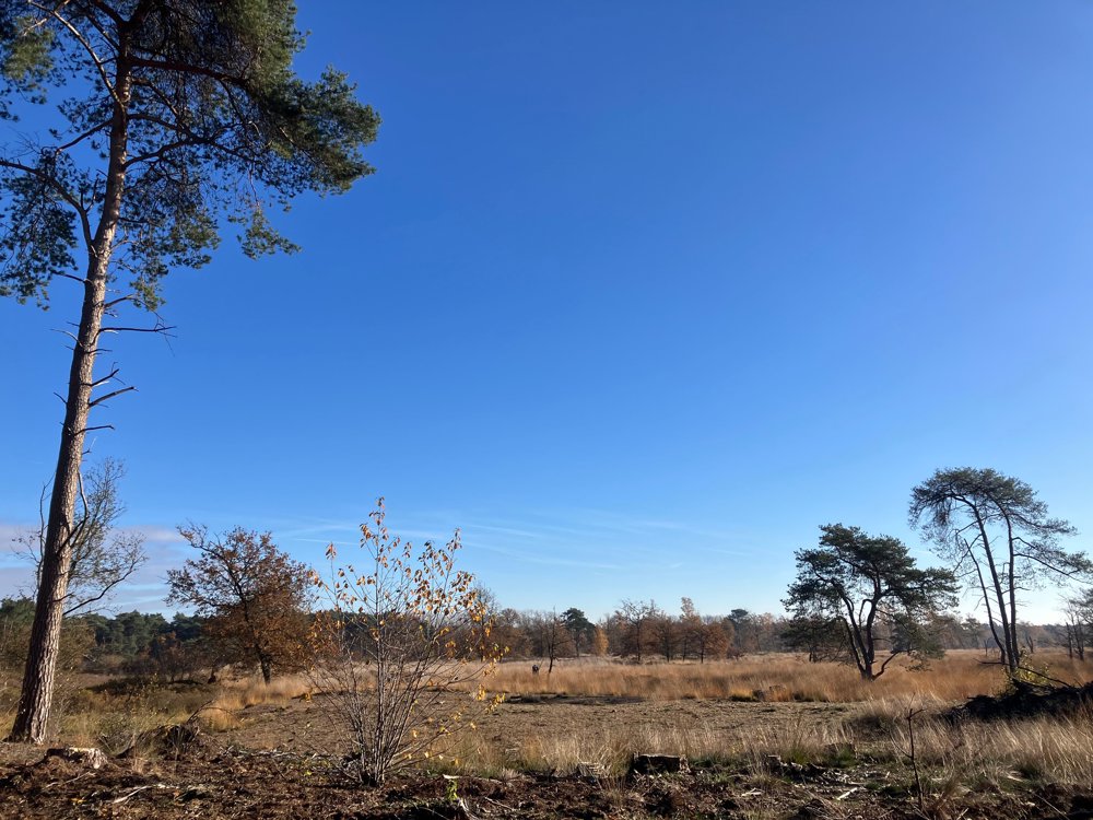
Nature reserve De Malpie is a wet heathland and drifting sand area of 350 hectares west of the Dommel, known since 1464. The origin of the name has three possibilities: path to the court, the border, or the mill.
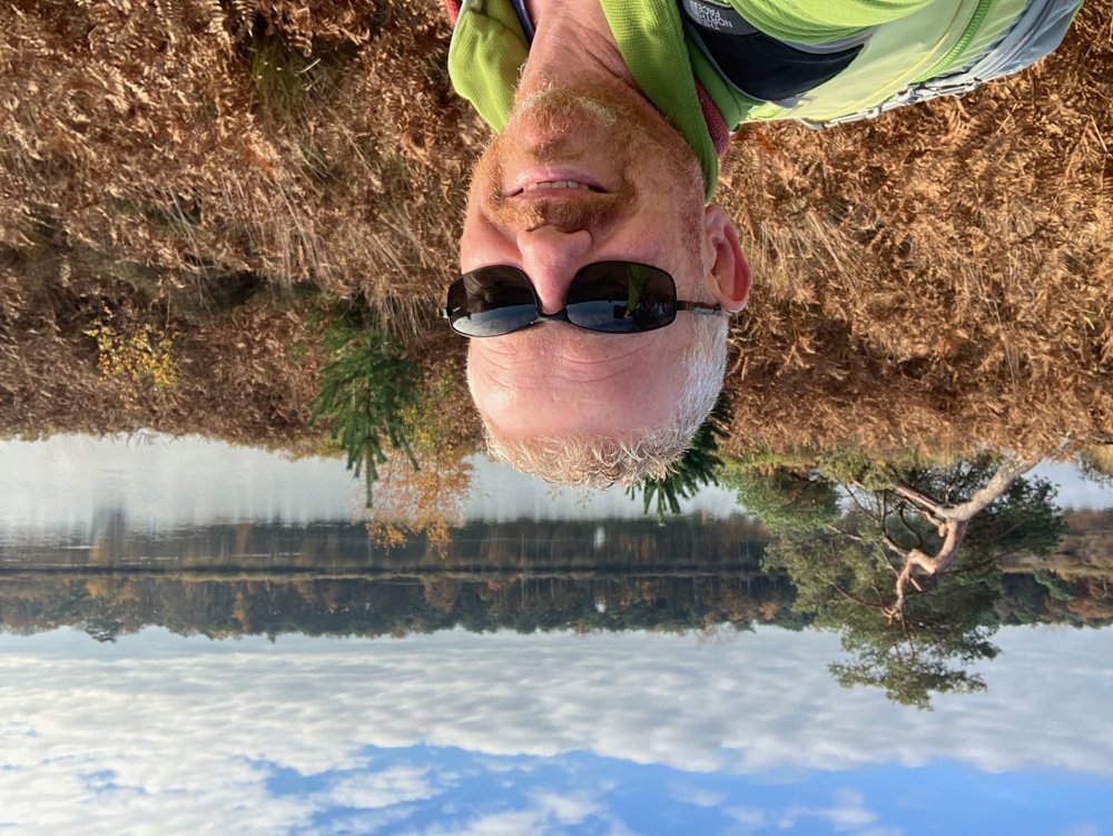
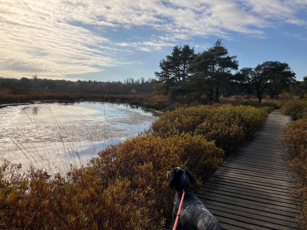
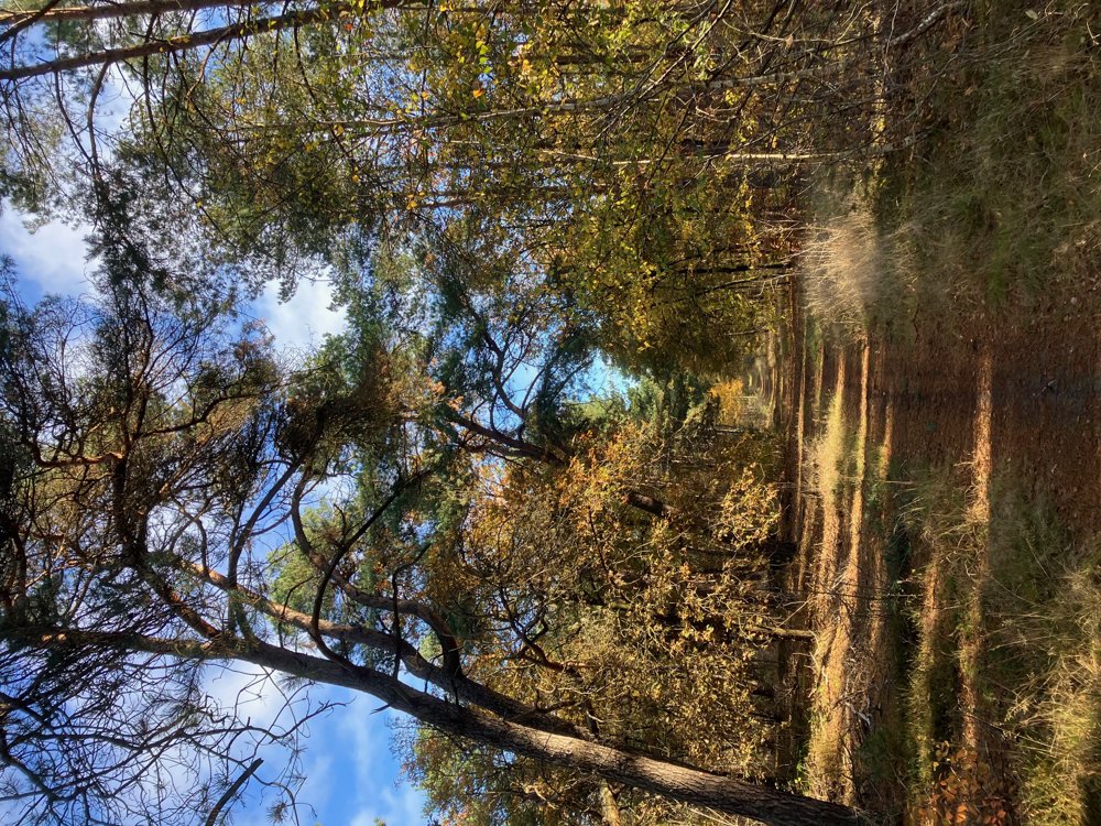
You will find not only heath but also pools, such as the Large Malpieven, forest, and even the Malpie Hill. Do not expect significant slopes but rather a historically ideal elevated place to live due to hunting and fishing.
The sandy soil of the heath, combined with the moist pools, provides unique animal and plant species such as cottongrass, butterfly azure, viviparous lizard, and spotted whiteface dragonfly, making the area part of the protected European network Natura 2000. Enjoy the available resting and picnic benches.
About halfway at point 58, you can strengthen yourself at Pancake House Suykerbuyk before visiting the War Cemetery from World War II.
Dogs welcome on a leash.
(High) walking shoes are recommended.
automatic translation
 nodes to follow
0 km
0.9 km
2.4 km
3.1 km
3.7 km
4.3 km
6.7 km

7.1 km
7.4 km
7.8 km
8.1 km
9.7 km
11.2 km
11.7 km
12.4 km
13 km



 Upgrade to Premium Plus


