 Hiking
 Login
Login
 More
More
 EN
EN
 Premium
Lembeek Meuse Valley
automatic translation
8.6 km • Halle
3.1083 1 4.5/5

 Addresse starting point (approximate)
Bondgenotenstraat 2, 1502 Lembeek, BE
 signage
The route is not signposted. Use a GPS device or our app to follow the route.

 Description
Departure: Sint-Veronus Church - Stevens De Waelplein - Halle
Every Easter Monday, the Sint-Veroon procession is held here to honor the patron saint of the church. Veronus is invoked against head illnesses, typhoid, rheumatism, fever, contagious diseases, and ulcers.
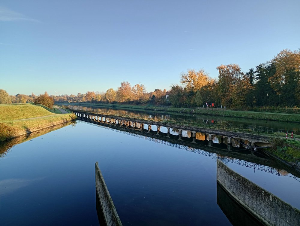
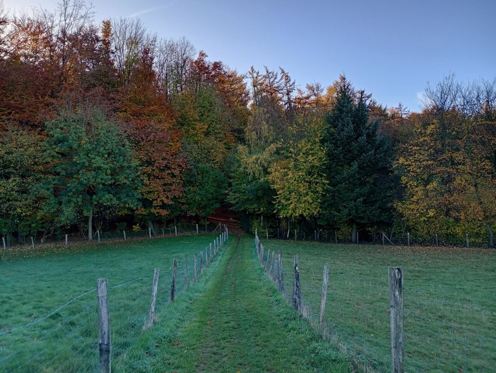
We walk through the castle park to the bridge where the Zenne and the Brussels-Charleroi canal merge. Then through the fields to the Maasdal forest and subsequently to the Malakoff estate with the splendid Malakoff tower on the property of castle owner and gin distiller Paul Claes. The castle is no longer there, but the Malakoff tower - a reconstructed medieval watchtower from 1854 - still proudly stands.
Good walking shoes are recommended, as the field paths can be muddy.
automatic translation
 nodes to follow
0 km
0.8 km
0.9 km
1 km

1.9 km
3.3 km
3.8 km
4.3 km
5.1 km
5.7 km
6.9 km
7.5 km
8.1 km

8.6 km
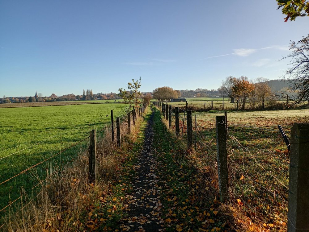
Monday, April 27, 2026 by dirk van den brandeA beautifully varied landscape, with walks through woods and fields that largely avoid passing through built-up areas. The starting point in the village of Lembeek is particularly special in this case. It is one of the prettiest villages in Flanders.
automatic translation


 Upgrade to Premium Plus
