
 Hiking
 Login
Login
 More
More
 EN
EN
 Premium
The Most-Keiheuvel: a harmony of water and sand
automatic translation
10.7 km • Balen
3.4753 0 0/5

 Addresse starting point (approximate)
17 Esk. Licht Vliegwezenlaan 14, 2490 Balen, BE
 signage
The route is fully signposted with nodes.
 Description
We took this walk on 06/11/2025 (13.910)
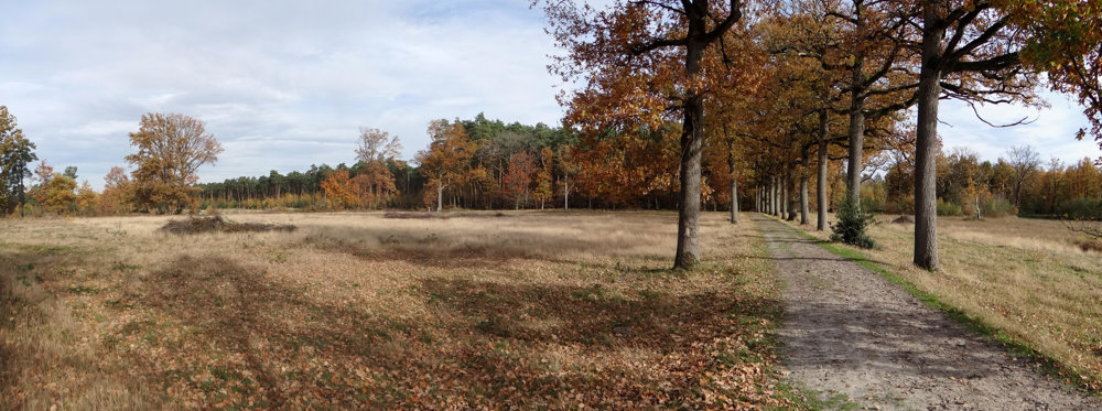
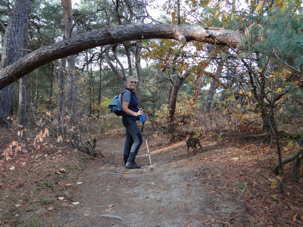
This looped walk of 10.7 km takes you through the unique nature reserve De Most-Keiheuvel in Balen, where wet valleys and dry sand dunes meet in a surprising interplay.
Along the way, you will come across:
🧭 De Most – A marshy area that lives up to its name. Until 1810, this was a municipal domain, now an oasis of peace and wet nature.
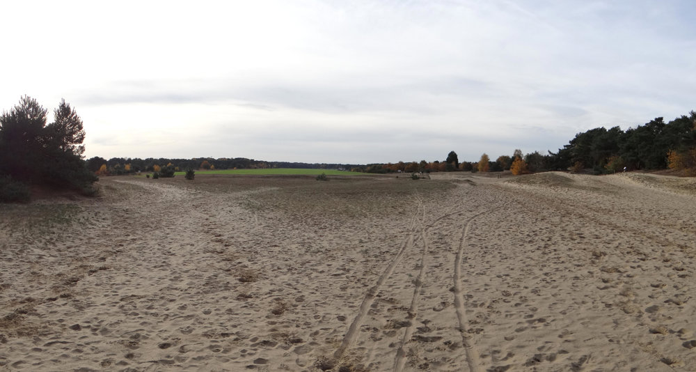
🏞️ The Keiheuvel – A higher located dune landscape, dry and open, ideal for walkers who love space and light.
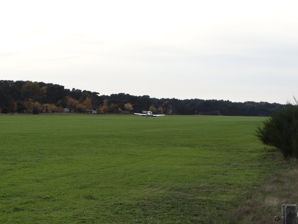
✈️ Bench at the airfield – A resting point with a view of the glider airfield of Balen Keiheuvel.
🐝 Sand bee and landscape frame – An invitation to pause and consciously experience the landscape. The frame invites you to look with attention.
🎠 Keiheuvel Recreation Park – A green playground in the heart of the Kempen, where nature and recreation go hand in hand.
More photos: https://photos.app.goo.gl/HrUU9agdGqZKpD9J7
Happy walking,
Eddy, Rita, and Prinske
automatic translation
 nodes to follow
0 km
0.8 km
1.5 km
3 km
4.2 km
5 km
5.6 km
6 km
6.3 km
8 km
8.5 km
8.9 km
9.2 km
9.9 km
10.2 km
10.7 km



 Upgrade to Premium Plus


