 Hiking
 Login
Login
 More
More
 EN
EN
 Premium
Along Marshes and Heath: The Breeven Route
automatic translation
11.6 km • Kasterlee
3.9044 0 0/5

 Addresse starting point (approximate)
Waaiberg 8, 2460 Kasterlee, BE
 signage
The route is fully signposted with nodes.
 Description
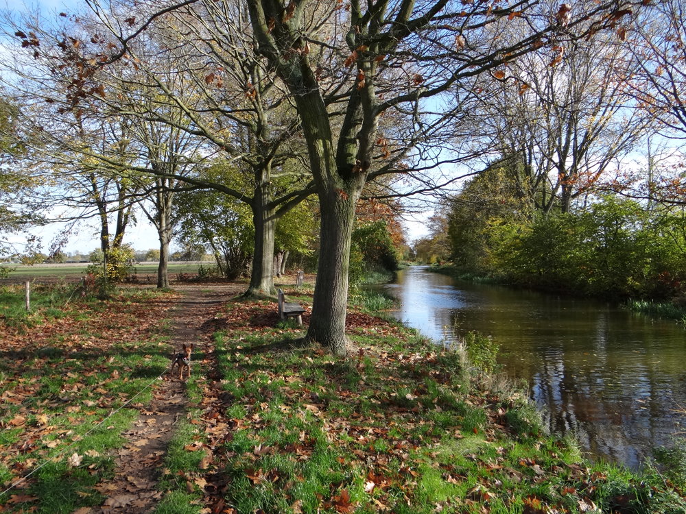
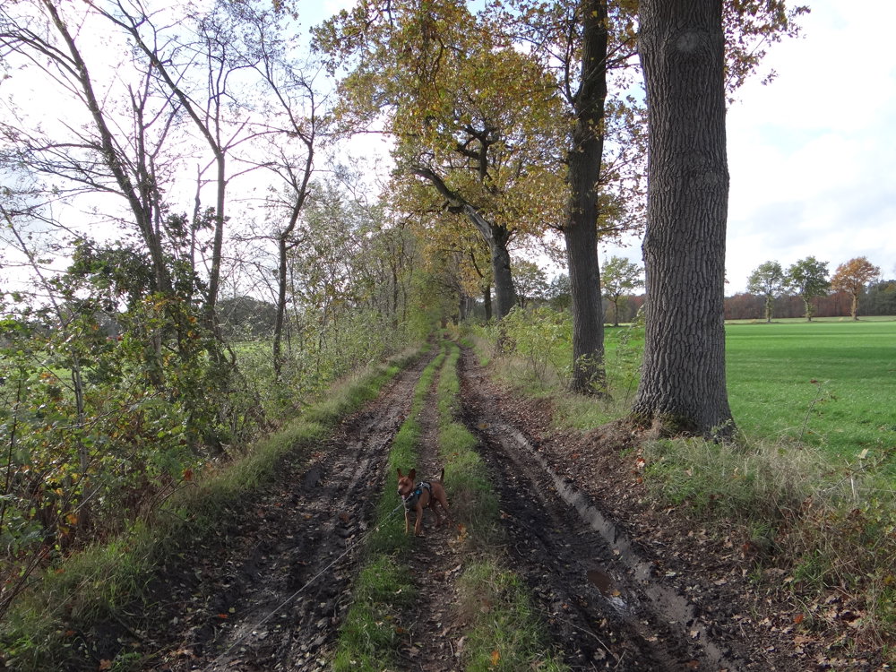
We did this delightful Kempen walk on 11/02/2025 (14,771 steps).
Start your walk from the Waaiberg parking in Kasterlee. With the Breeven route, you discover a varied landscape of marshes, heaths, and forests. Breeven offers an exciting mix of nature types, each with their own flora.
In the western part, you encounter marshes with special plants such as marsh sedge, water dock, reeds, bell heather, and bog myrtle. The willow and alder carr woods form a valuable ecosystem. Along the pine plantations, you see remnants of heath vegetation, including purple moor grass, broom, ling heather, and sheep's sorrel.
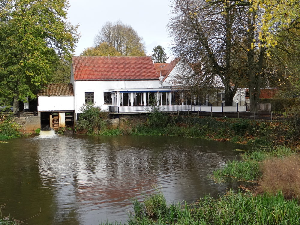
The name Breeven refers to a 'large fen', a marshy water body that was developed in the 14th century by the diocese of Cambrai as a fish breeding pond.
More photos: https://photos.app.goo.gl/a9Yi2HFgfD2iGU25A
Happy walking,
Eddy, Rita, and Prinske
automatic translation
 nodes to follow
0 km
0.4 km
1 km
1.3 km
3.6 km
5.6 km
6.9 km
7.4 km
8.9 km
9.7 km
10.3 km
10.5 km
10.6 km
10.9 km
11.4 km

11.6 km


 Upgrade to Premium Plus
