
 Hiking
 Login
Login
 More
More
 EN
EN
 Premium
Mechelse Heide Purple
automatic translation
12.5 km • Maasmechelen
3.1874 0 0/5

 Addresse starting point (approximate)
Joseph Smeetslaan 280, 3630 Maasmechelen, BE
 signage
The route is not signposted. Use a GPS device or our app to follow the route through the virtual nodes.
 Description
We did this challenging hike on 10/30/2025 (16,624 steps).
Markings in both directions: purple trapezoids.
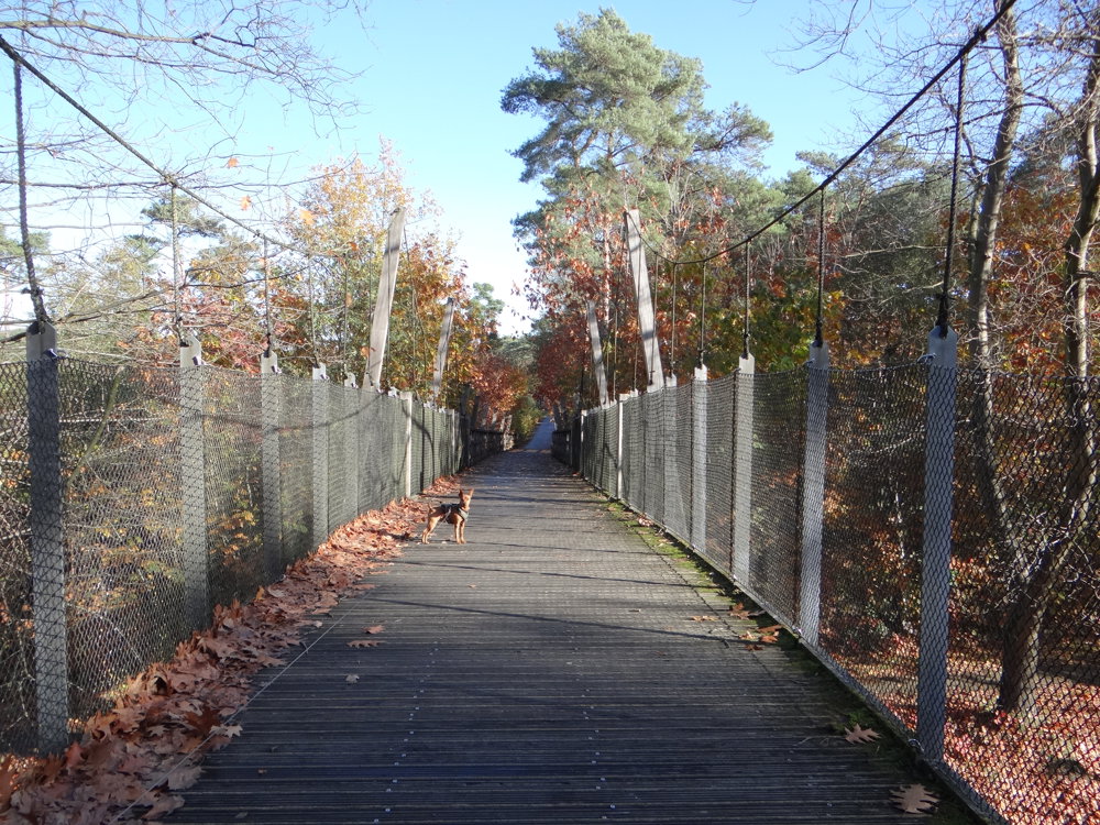
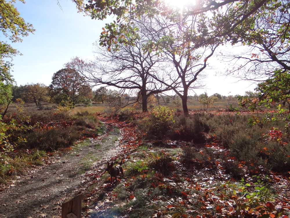
From the parking lot, you walk over a pedestrian bridge straight into the Hoge Kempen National Park. The route winds through forests and vast heathlands, where in summer the purple glow meets you.
The route is loop-shaped, mostly unpaved, and offers a mix of nature, tranquility, and terrain. With some steep slopes, it is a tough journey, but the variety in landscape makes it a true experience.
Along the way, you pass:
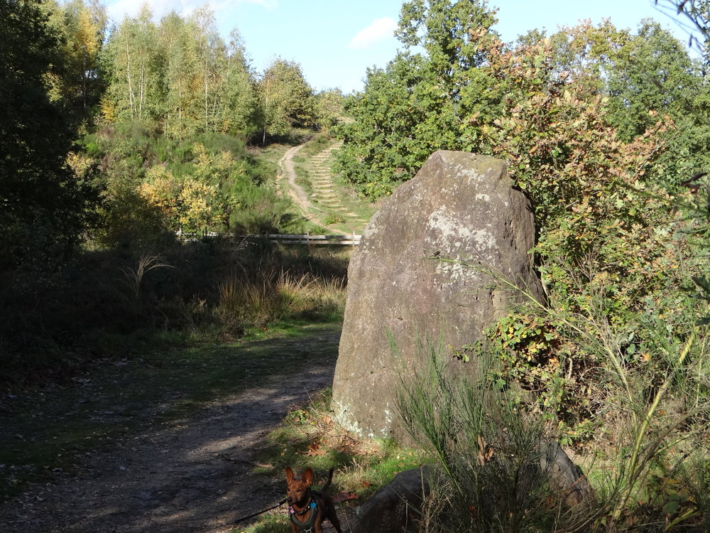
* The menhir of the Mechelse Heide.
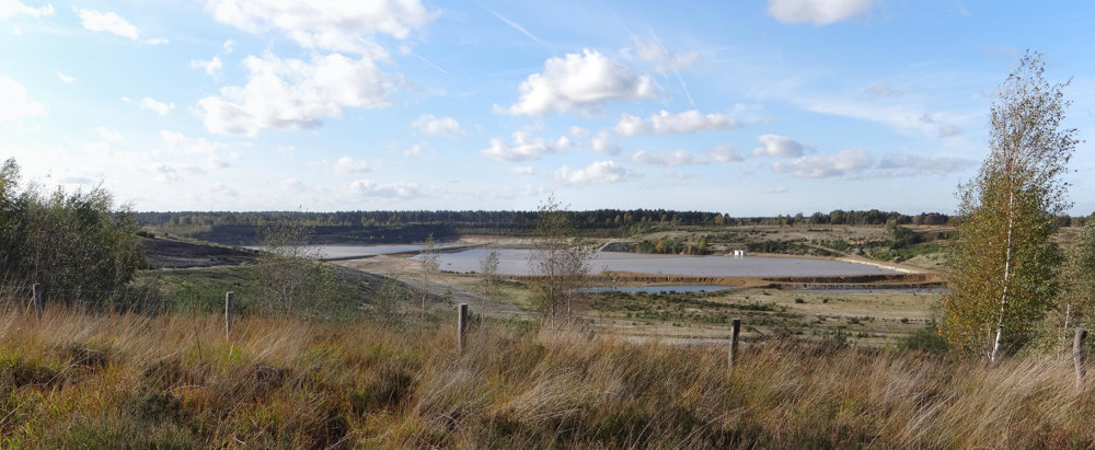
* The white sand quarry, where the white sand is still actively extracted.
* A fen and marsh area, formed after sand extraction - a resting place for water-loving fauna.
* A viewpoint over the Meuse Valley, worth a climb for the vista.
* Heathland management zones, where sheep graze and shape the landscape.
More photos: https://photos.app.goo.gl/YzXQhvepGZN9saCa9
Happy hiking,
Eddy, Rita, and Prinske
automatic translation
 nodes to follow
0 km
0.1 km
0.4 km
0.5 km
2.2 km
2.6 km
3.7 km
6.4 km
7.8 km
8 km
8.1 km
9.3 km
11.1 km
11.7 km
12.2 km
12.2 km
12.3 km
12.5 km



 Upgrade to Premium Plus


