Loading...

Vlasroters hiking trail loop 2

automatic translation

14.4 km • Deinze

Icon official route official route

5.8956 2 3.2/5

14.4 km 0.0 km 0.0 km

route offered by

Badge of official route

more info

Icon starting point Addresse starting point (approximate)

Ardense Jagersstraat-Gottem 5, 9800 Deinze

Icon type signage of route signage

The route is fully signposted with nodes.

5m 5m 5m 5m
© Toerisme Oost-Vlaanderen
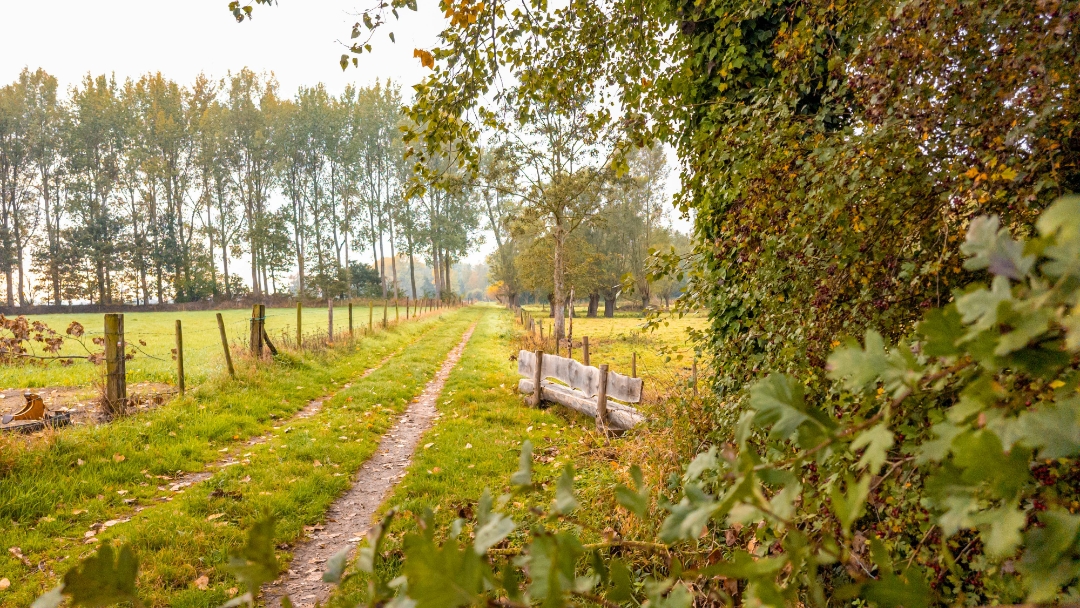
Icon description route Description

Step through the rich history of the small flax village of Gottem: flax was retted in the villages of Deinze until the 20th century. There, the plant was exposed to water in large wooden tanks in the Leie, so that the fibers came loose. A quiet, green route with a historical edge!

automatic translation

Icon nodes to follow nodes to follow

Image node TP
0 km
Image node 88
0.9 km
Image node 85
1.2 km
Image node 69
3.4 km
Image node 81
5.7 km
Image node 50
6.2 km
Image node 36
7.1 km
Image node 35
8.1 km
Image node 34
9.1 km
Image node 52
11.5 km
Image node 83
11.8 km
Image node 84
14 km
Image node TP
14.4 km
This route has 2 review(s).
Rate route!

Friday, April 3, 2026 by J.P.A beautiful, flat, and varied walk.
automatic translation

Tuesday, November 11, 2025 by Danie KiekensNice route though 80% paved I always walk with dog for me some setback
automatic translation

Which POI do you want to show on the map?

Experimental hiking network
Unsigned icon

The route you have chosen runs (partly) along an experimental virtual hiking node network (the blue-coloured nodes and sections on the map).

You must be logged in to plan routes here.

Experimental hiking network
Unsigned icon

The route you have chosen runs (partly) along an experimental virtual hiking node network (the blue-coloured nodes and sections on the map).

These routes are not controlled in the field. Before you start hiking here, take a minute to read what an experimental hiking node network is and what rules you should follow when hiking here.