 Hiking
 Login
Login
 More
More
 EN
EN
 Premium
Via field and neighborhood roads past Court, Castle, and farms
automatic translation
5.7 km • Kampenhout
2.6804 2 4.5/5

 Addresse starting point (approximate)
Hutstraat 43, 1910 Haacht-Station, BE
 signage
The route is partially signposted with nodes. Use a GPS device or our app to follow the route.
 Description
Park for free near the church.
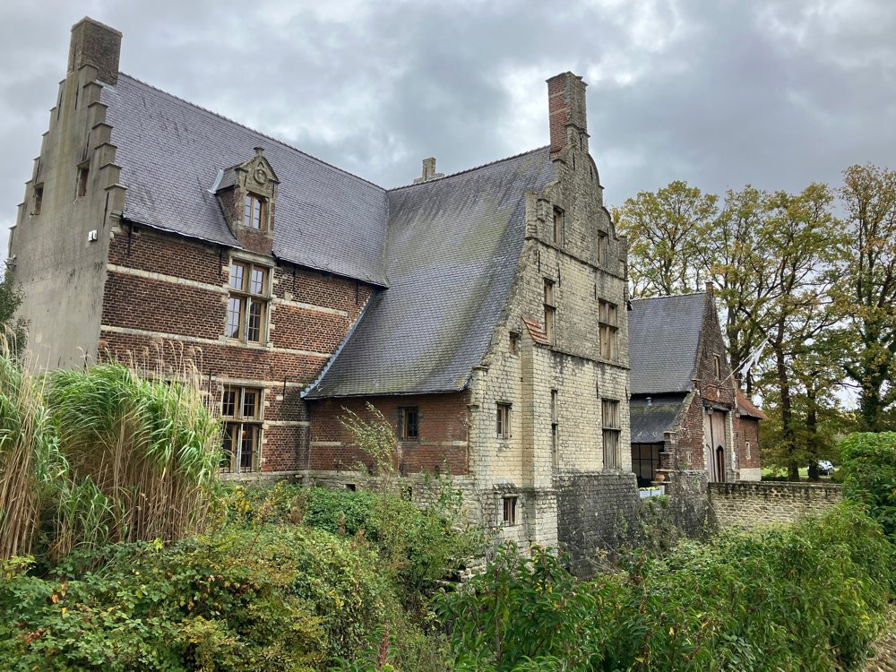
The walk starts already at the Castle of Opstal: a domain that belonged to the family 't Serclaes during the 16th century. Quite soon you reach the next castle 'Hof Ter Loonst', which serves as a business and event center, but dates back to the year 1162.
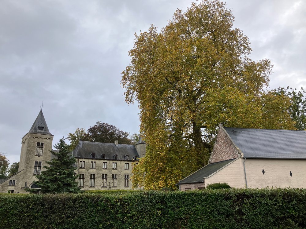
After a few country paths, you pass the Kampenhout golf club, where you can recharge your energy and admire the castle of Wilder. You will learn more about the Dijle line during the Great War and the double murder that occurred there. Nowadays, it is owned by the De Broqueville family.
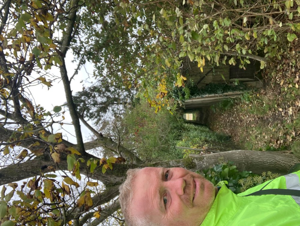
Through quiet roads, neighborhood and footpaths across the fields, you head back towards Park Ter Elst (near pt. 121), where there is a playground and a pond. Along the way, you can admire some old and renovated farms, let the wind blow through your hair... Finish pleasantly at café Somewhere Else.
Dogs on leashes welcome. High hiking boots recommended in wet conditions.
automatic translation
 nodes to follow
0 km
0.2 km

0.9 km
1.5 km
2 km
2.6 km
3.1 km
3.7 km
4.6 km
5.5 km

5.7 km
Sunday, April 12, 2026 by Heidi Vanhovea pleasant and varied route
automatic translation
Wednesday, November 12, 2025 by Marina VervoortVery nice, quiet walk along quiet roads.The numbering of the hiking trails is not correct, fortunately we had the app and could follow the plan. You indeed start at #121 but then have to go to 119 instead of 113<;
automatic translation


 Upgrade to Premium Plus
