 Hiking
 Login
Login
 More
More
 EN
EN
 Premium
🌿Bastendorf D – Valley of the Mëllerbaach
automatic translation
8.8 km • Tandel
1.3880 0 0/5

 Addresse starting point (approximate)
Haaptstrooss 24, 9350 Tandel, LU
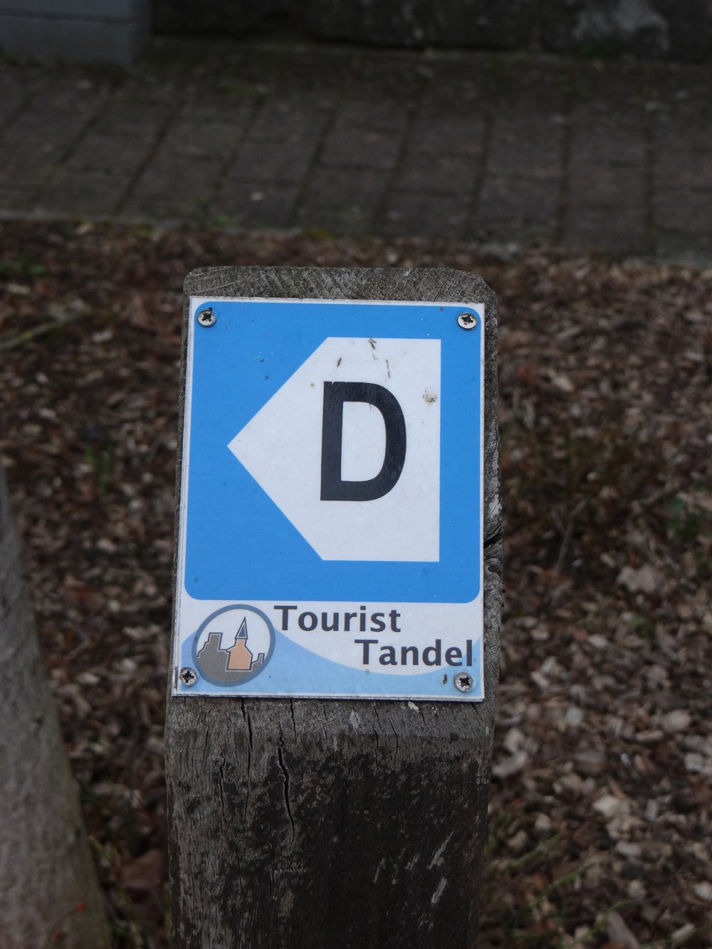
 signage
The route is fully signposted with thematic signs (no nodes).

 Description
11,676 steps
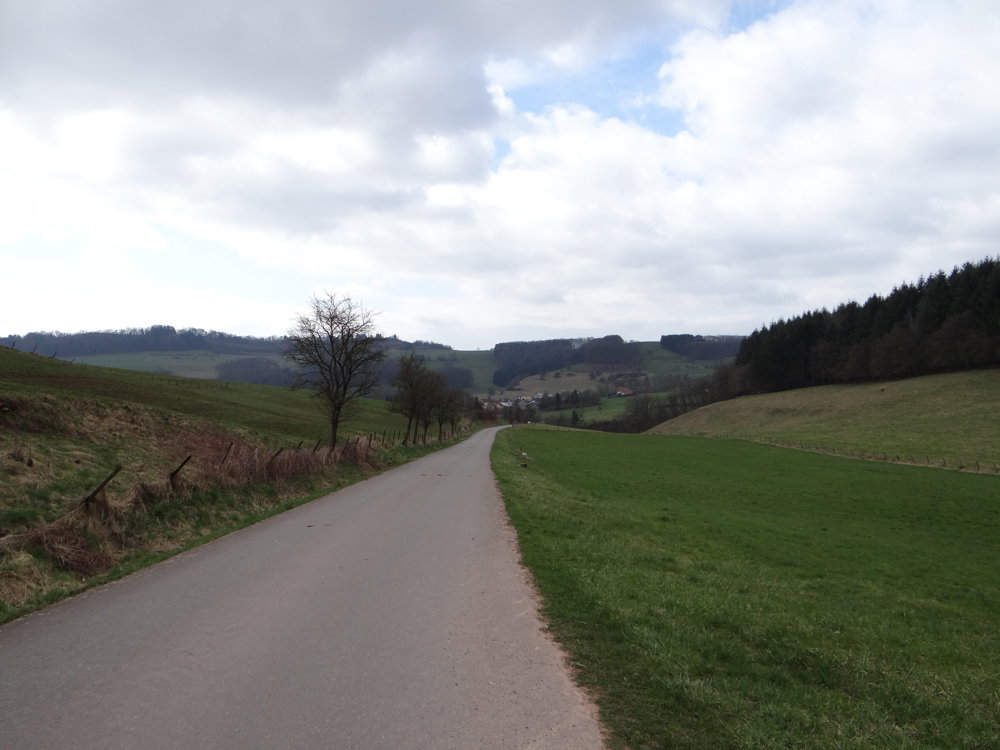
The route starts at the football field of Bastendorf. A narrow path leads you to the village road, which you follow to the end of the village. There begins a quiet country road, with hardly any traffic, a place to let the silence flow in.
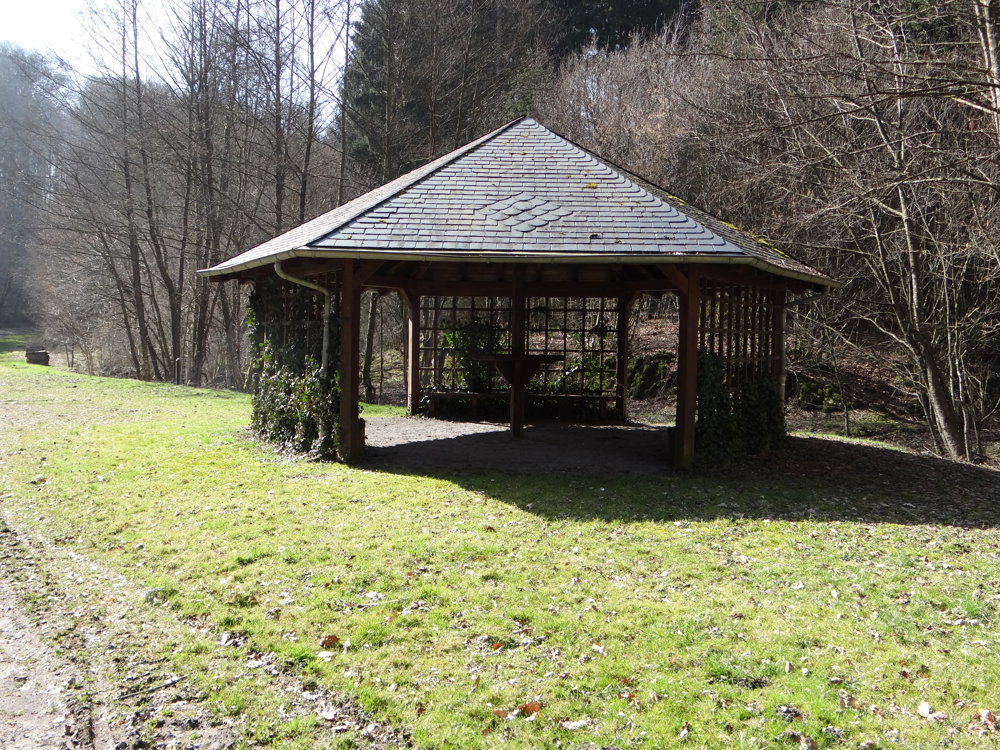
After a gentle slope, you continue walking on a passable forest path, in the midst of nature's embrace. Soon after, you briefly return to the country road, then another forest path brings you to a junction with a spacious picnic area. An invitation to pause, breathe, listen.
The walk continues on a paved path, surrounded by fields on both sides. The path gently descends towards Bastendorf. Just before reaching the village, you can admire some houses from above. Once down, you walk back to the starting point.
A simple, natural loop walk, suitable for families, and fully signposted.
More photos: https://goo.gl/photos/irvmMMZRTnvMTMjZ8
Enjoy your walk,
Eddy, Rita and Prinske
automatic translation


 Upgrade to Premium Plus
