 Hiking
 Login
Login
 More
More
 EN
EN
 Premium
Along Demer, forest and rolling (field) roads
automatic translation
10 km • Aarschot
2.6292 5 4/5

 Addresse starting point (approximate)
Diestsesteenweg 28, 3200 Aarschot, BE
 signage
The route is partially signposted with nodes. Use a GPS device or our app to follow the route.
 Description
Free parking at Park Schoonhoven (or at Oh Green)
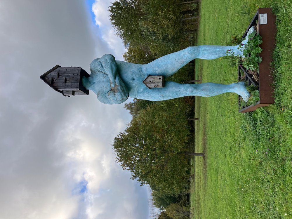
Expect varied landscapes with about 60% unpaved paths. Via the bee hall/sheepfold and Schoonhoven Castle, you leave the park towards the Demer. At point 746, you dive into the moist Mottebeemden (high walking boots recommended in wet periods). Shortly after, you can spot the Blue Man: an artistic Bird Locker by Wilfried De Cock. Along quiet country lanes with a small chapel, you continue towards the center of Rillaar. The walk can be easily extended here via points 725-736-739-726 and then back towards point 725 (+ about 4 km).
At the church, you can choose from "De 8ste hemel", "Onder den Toren" or Brasserie Valk to recharge before you tackle the hilly section. The quiet country and hollow roads offer a beautiful view of the green surroundings where Rillaar and Aarschot are hidden.
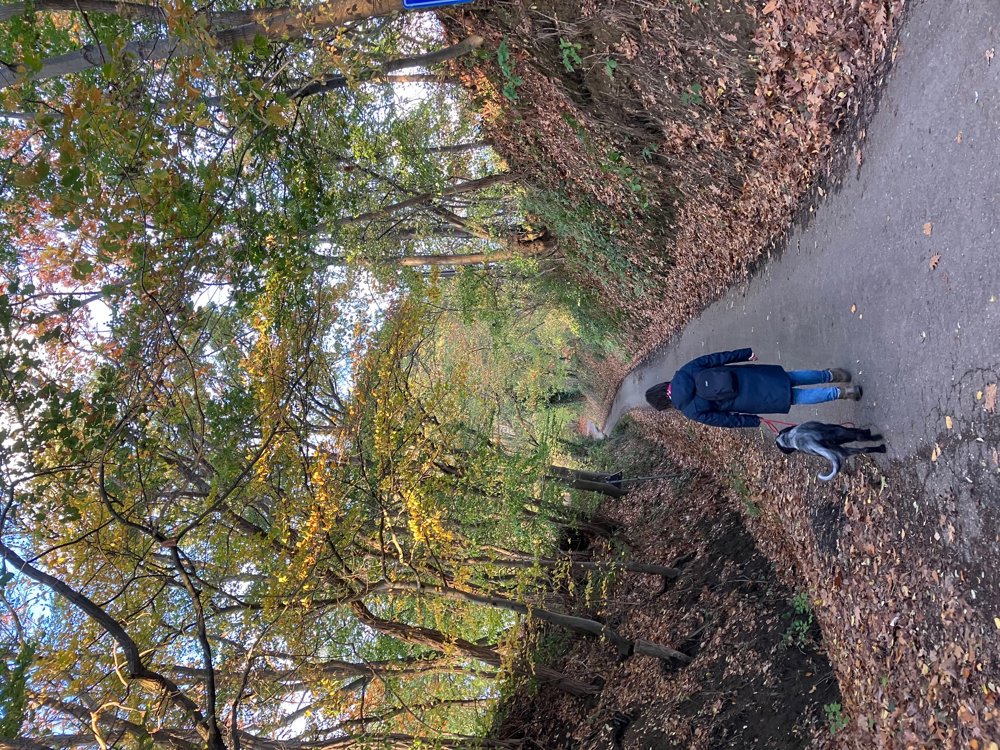
You finish at the outdoor swimming pond in Park Schoonhoven with Taverne Schoonhof. Dogs are welcome on a leash.
automatic translation
 nodes to follow
0 km

0.7 km
1.3 km
2.2 km
4 km
4.9 km
5.3 km
5.3 km
5.4 km
5.5 km
6.1 km
6.4 km
6.7 km
7.4 km
7.9 km
8 km
9.2 km

10 km
Monday, April 6, 2026 by Paul GordtsA fun and varied route!
automatic translation
Saturday, February 28, 2026 by philippe LemairePerhaps it was the weather or the season, but I didn't find it very pleasant.
automatic translation
Wednesday, February 18, 2026 by Kris DehamersFrom Park Schoonhoven with its beautiful swimming pond, a short stretch along the Demer and through the Achter Schoonhoven nature reserve. Through Rillaar and along a few beautiful local roads back to Schoonhoven. Nice tavern with local beers.
automatic translation
Sunday, December 28, 2025 by Jacky Vanden EckerFine varied walk with beautiful views through a few (so far) unknown paths around Rillaar and Schoonhoven. Nice ending with a soup and Glühwein in Taverne Schoonhoven.
automatic translation
Friday, November 7, 2025 by C.V.Nice walk and nice stopover in "the 8th heaven, Rillaar".
automatic translation


 Upgrade to Premium Plus
