Loading...

Between Erpe-Mere and Aalst

automatic translation

28.4 km • Erpe-Mere

2.2443 0 0/5

28.4 km 0.0 km 0.0 km

route offered by

Claudia Pierreux

Icon starting point Addresse starting point (approximate)

Kapelhofstraat 19, 9420 Erondegem, BE

Icon type signage of route signage

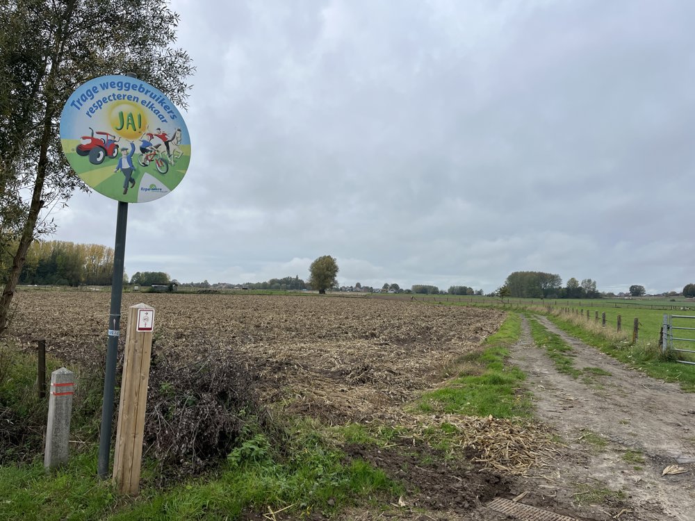
The route is fully signposted with nodes.

5m 5m 5m 5m
Atmosphere image 1 of route Between Erpe-Mere and Aalst Atmosphere image 2 of route Between Erpe-Mere and Aalst Atmosphere image 3 of route Between Erpe-Mere and Aalst
© Claudia Pierreux

Icon description route Description

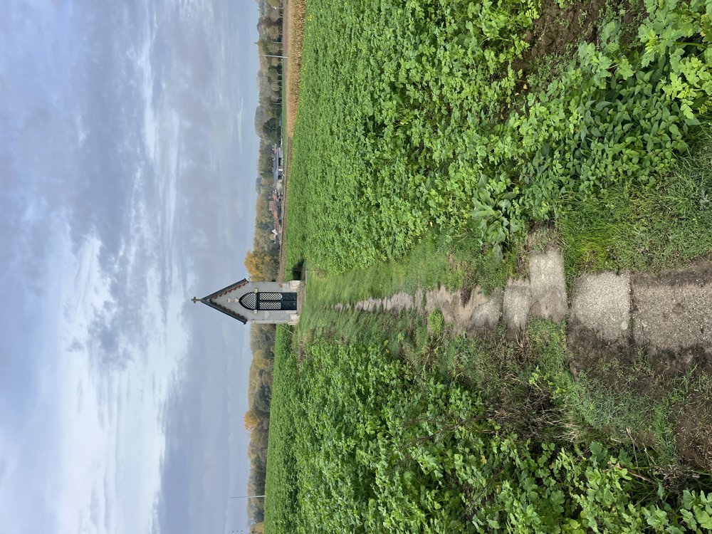
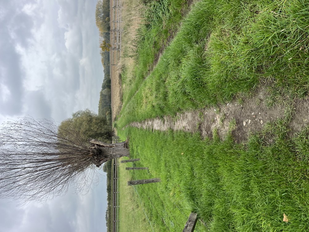
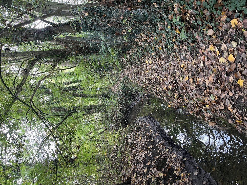
I've been living in this neighborhood for 35 years, yet I'm still pleasantly surprised each time by the many beautiful, well-maintained walking paths that run between and behind the houses.

You can park near junction 60 (Erondegem church).

Drawbacks of this route: from junction 49 to 53, you walk a long stretch along the E40. Also, in other parts of the walk, the noise of car and truck traffic is quite audible. From junction 22 to 76 and a little further, you walk on a main road.

The rest of the walk is certainly worth it.

automatic translation

Icon nodes to follow nodes to follow

Image node 60
0 km
Image node 67
2.3 km
Image node 66
2.6 km
Image node 72
3.3 km
Image node 81
4.2 km
Image node 22
7.8 km
Image node 76
9.7 km
Image node 24
11 km
Image node 2
12 km
Image node 3
12.5 km
Image node 25
13.9 km
Image node 26
14.6 km
Image node 27
14.8 km
Image node 28
15.7 km
Image node 38
16.7 km
Image node 40
17.2 km
Image node 56
19.5 km
Image node 52
20.7 km
Image node 42
21.6 km
Image node 43
21.8 km
Image node 45
22.8 km
Image node 44
23.4 km
Image node 47
24.5 km
Image node 2
25.2 km
Image node 49
25.5 km
Image node 49
25.6 km
Image node 53
27.8 km
Image node 57
28.2 km
Image node 60
28.5 km
This route does not have any reviews yet. Be the first!
Rate route!

Which POI do you want to show on the map?

Experimental hiking network
Unsigned icon

The route you have chosen runs (partly) along an experimental virtual hiking node network (the blue-coloured nodes and sections on the map).

You must be logged in to plan routes here.

Experimental hiking network
Unsigned icon

The route you have chosen runs (partly) along an experimental virtual hiking node network (the blue-coloured nodes and sections on the map).

These routes are not controlled in the field. Before you start hiking here, take a minute to read what an experimental hiking node network is and what rules you should follow when hiking here.