 Hiking
 Login
Login
 More
More
 EN
EN
 Premium
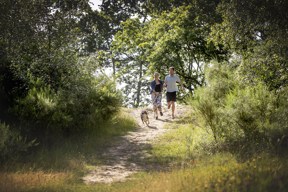
Dust dune hiking trail
automatic translation
10.9 km • Wetteren
 official route
6.4559 14 4.3/5
 Addresse starting point (approximate)
Wegvoeringstraat 308, 9230 Wetteren
 signage
The route is fully signposted with nodes.
 Description
The Wetterse warande dunes form a remarkable piece of Scheldt nature, which cause the Siint-Gertrudis church to tower high above the landscape. While keeping it mostly on the plain for most of this hiking trail, we remarkably go up in elevation at the end.
The Stuifduin hiking trailis brought to you byRouten, an initiative of Tourism East Flanders.
automatic translation
 nodes to follow
0 km
0.4 km
2.7 km
3.9 km
5.3 km
5.7 km
6.1 km
6.4 km
6.5 km
6.6 km
6.7 km
8.4 km
9 km
9.5 km
10.4 km
10.9 km
Friday, August 1, 2025 by Nico Goossens A known route passing by my door!
automatic translation
Sunday, March 16, 2025 by Geert Abrahamwonderful walk 👍🏻
only working point: extra sign at the start of the red hill
automatic translation
Saturday, December 28, 2024 by R.G.varied walk. with ferry service
automatic translation
Wednesday, June 12, 2024 by S.V.Caution! The ferry is no longer operated. So you can't do the entire hike. For the rest beautiful walk
automatic translation
Thursday, May 18, 2023 by L.L.Beautiful hiking trail in nature.
automatic translation
Saturday, April 30, 2022 by A.V.Beautiful walk along the Scheldt and through the woods. Idd on top of the bridge there could have been a sign (to the right). Also thought I had to go around the church but it was around the apartment block. All in all very nice.
automatic translation
Friday, May 21, 2021 by Chris VerborgtBeautiful walk with the ferry across the Scheldt as an extra. There is almost no parking at the starting point of the trail. It is a bit confusing that you have to park some distance away. Perhaps better to have the hike start there.
automatic translation
Sunday, May 2, 2021 by Brigitte Nottewonderful walk. beautiful and rural along wetteren, schellebelle and through the Blakken. highly recommended. via the market to the Tragelweg (new appt just before the bicycle bridge) there start at walking node 9.
automatic translation
Sunday, April 4, 2021 by Mira BradaiOn the bridge turn right. We went left and didn't realize until 2 km later that we had gone the wrong way.... Too bad there is no sign on the bridge
automatic translation
Friday, March 5, 2021 by bert rouckhoutnice quiet walk mostly next to the Scheldt
automatic translation
Saturday, February 27, 2021 by B.D.Beautiful hike with lots of variety!
automatic translation
Saturday, February 20, 2021 by I.F.Beautiful and quiet walk. Start Market 1 is not correct. No signs to be found at #1. Even sign at the church has disappeared. Presumably due to major construction work going on there. Fortunately helped by a lady who was just passing by. Only found first sign across the bridge. After that very well signposted. Ferry also nice extra.
automatic translation
Sunday, August 23, 2020 by G.M.Very nice walk where you are always amazed at the beautiful nature so close to home. With the kids the ferry crossing is a highlight. Be sure to look up crossing times under "ferry service Wichelen". Good signage. Go to the town hall before the 1st junction. Only drawback: cars are allowed to drive along the Scheldt.
automatic translation
Sunday, March 22, 2020 by Hans Van RossenBeautifully quiet route
automatic translation


 Upgrade to Premium Plus
