 Hiking
 Login
Login
 More
More
 EN
EN
 Premium
Explore Anderlecht in a sporty and rural way
automatic translation
10 km • Dilbeek
1.9312 1 5/5

 Addresse starting point (approximate)
Keperenbergstraat 39, 1700 Bon Air, BE
 signage
The route is not signposted. Use a GPS device or our app to follow the route.
 Description
Departure: free parking cemetery - Keperenbergstraat 37 - Dilbeek
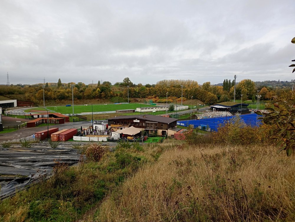
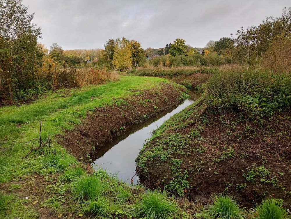
From the rural Dilbeek, we walk towards Anderlecht. First, we pass the Koevijverdal nature reserve, and then we proceed along the beautifully maintained grounds of the Royal Golf Club of Anderlecht, which neighbors the Avia Hockey Club and the training grounds of the football club RSC Anderlecht.
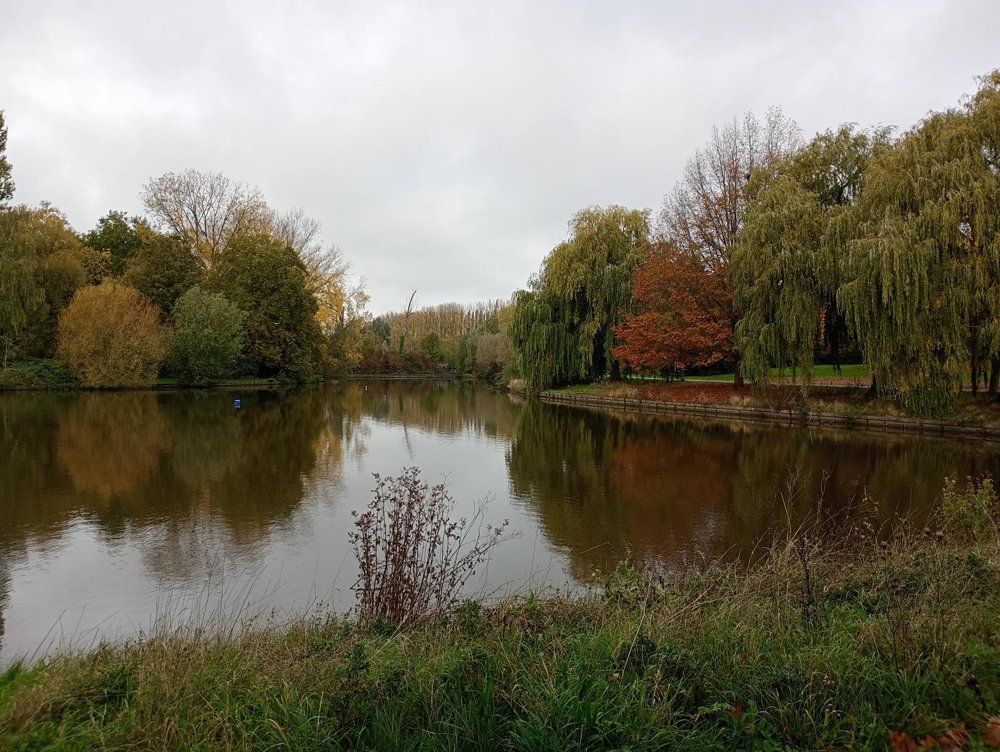
We continue our journey through the Pede Valley, a nature reserve with two beautiful ponds and the artistically designed Mayfair Pond. The latter is intended to be transformed into an outdoor swimming pool, which has already caused considerable protest.
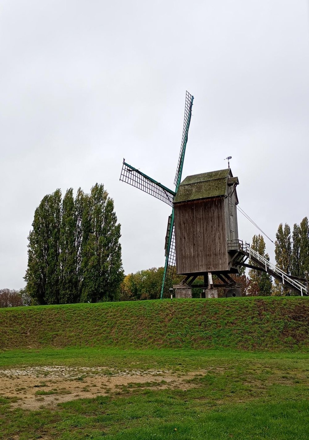
Then we walk further to the Luizenmolen and the Neerhof, an educational farm, before returning to Dilbeek and the parking.
By the ponds, there is the solidarity restaurant and tearoom De Ketelhoeve, where a sanitary stop is possible.
automatic translation


 Upgrade to Premium Plus
