 Hiking
 Login
Login
 More
More
 EN
EN
 Premium
a Mixx of forest, farm, critters and chalets
automatic translation
11 km • Herselt
2.7293 0 0/5

 Addresse starting point (approximate)
Asbroek 1, 2230 Herselt, BE
 signage
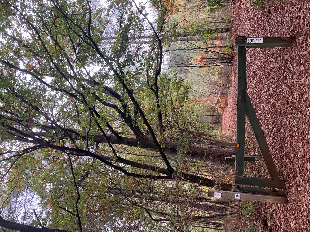
The route is fully signposted with nodes.
 Description
Parking at the sports center De Mixx in Herselt.
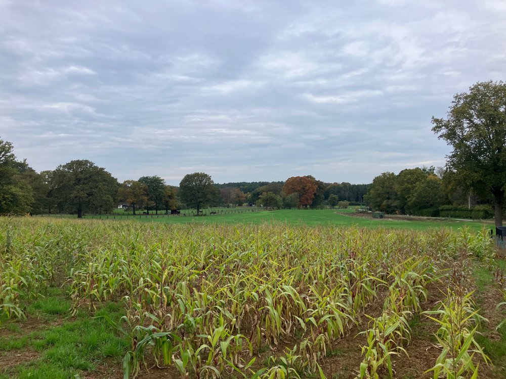
You start along quiet asphalt roads and pass the flower picking meadow Floristiek and the Siggedijkhoeve before diving into the Provincial Green Domain Hertberg.
The rolling green scenery provides beautiful views over a sandy (muddy in wet periods) soil. Mushroom enthusiasts can spot many different species here: from the classic fly agaric, to the false chanterelle, and more... Dog lovers can safely bring their four-legged friend on a leash and find an off-leash area (pt.26).
For the kids, you'll pass a part of the "Stoerparcours" and there is a playground on the way at Flipperland and at the start/end.
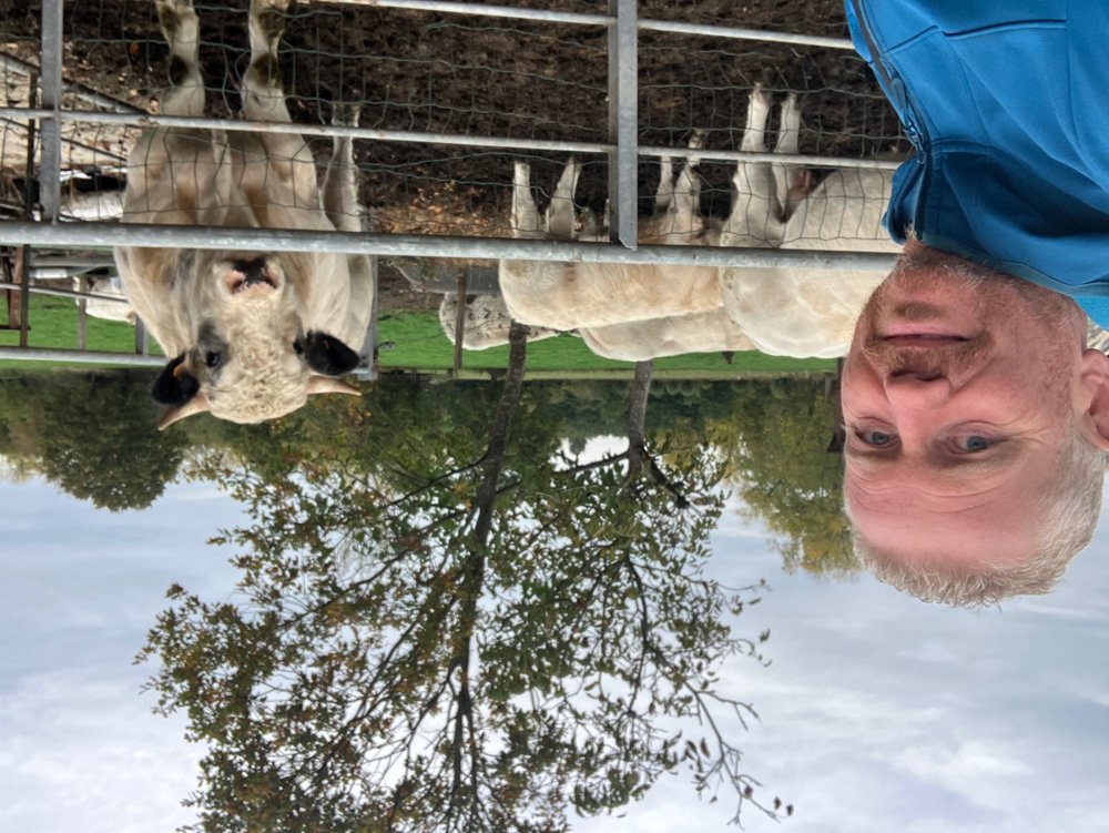
Along the way, you pass some magnificent chic farms and Het Rot, one of the oldest farm sites surrounded by moats in Herselt (heritage).
The last stretch consists of quiet but paved roads. (High) hiking shoes are recommended.
Catering: De Mixx at starting point 287, Flipperland between 88-94, and Mie Maan at point 26.
automatic translation
 nodes to follow
0 km
0.6 km
2.2 km
2.4 km
3.2 km
3.7 km
4.9 km
5.5 km
5.8 km
6.8 km
7.5 km
8 km
8.7 km
9.5 km
10.8 km
11 km


 Upgrade to Premium Plus
