 Hiking
 Login
Login
 More
More
 EN
EN
 Premium
🛣️ Along roads that do not want to be forgotten
automatic translation
9.7 km • Martelange
2.8632 0 0/5

 Addresse starting point (approximate)
Rue de Radelange 43, 6630 Radelange, BE
 signage
The route is fully signposted with thematic signs (no nodes).
 Description
We took this walk on 10/18/2025 (12,810 steps)
"Promenade des Romains". Markings in one direction: yellow-white-yellow on a white background.
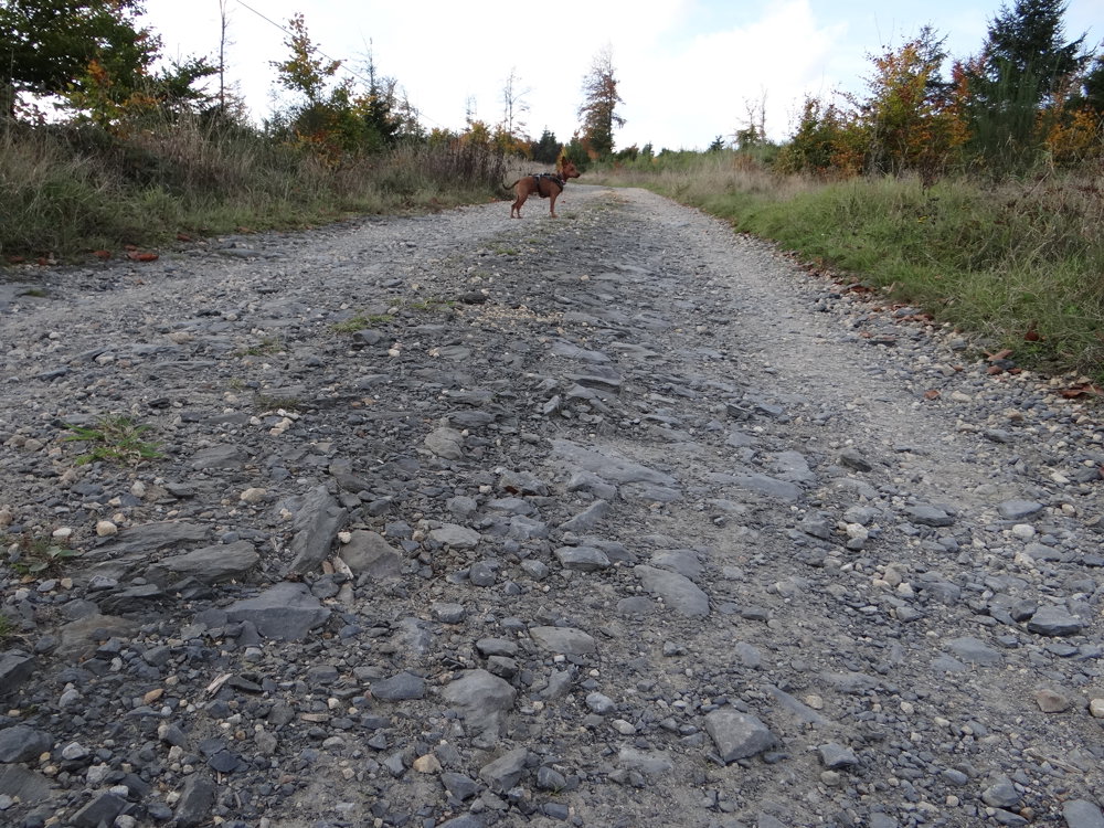
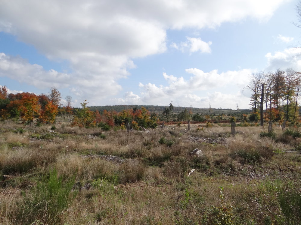
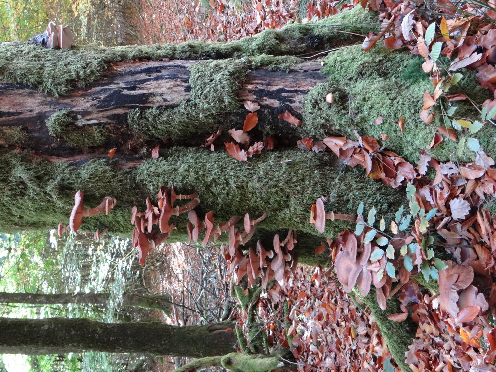
It's an autumn walk 🍂 full of layered beauty. Falling leaves swirl like memories on the old Roman road, where the past is still palpable with every step. Dark forest strips alternate with open views that take your breath away.
And just when the silence was at its deepest, it appeared: 🦉 a short-eared owl, graceful and unexpected, the crown of a hike that brought history, nature, and wonder together.
📍 Points of interest on the way
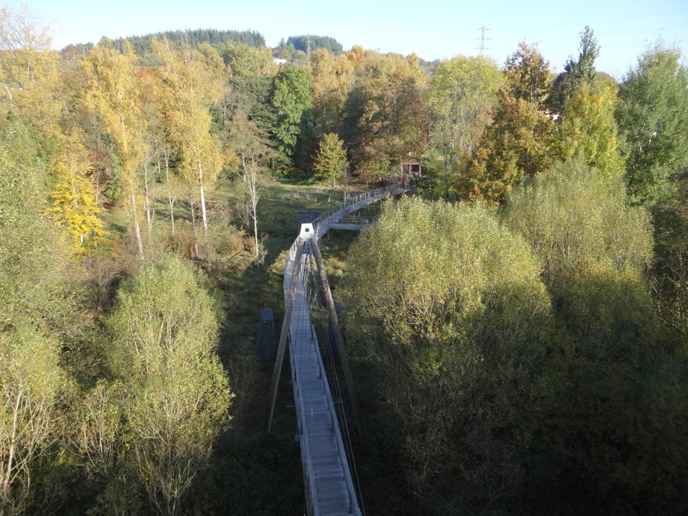
🕊️ Passerelle des oiseaux: distinct bridge over the Sûre
🧤 The Tanner: artwork
⛪ St. Martin's Church – Martelange
🕯️ St. Nicholas Chapel
🛣️ Chaussée Romaine: old Roman road
🌳 Covered picnic table in the forest
🌲 Anlier Forest
More photos: https://photos.app.goo.gl/J1u1Yr6UmQkfmxq77
Happy walking,
Eddy, Rita, and Prinske
automatic translation
 nodes to follow
0 km

0.1 km
0.3 km
0.5 km
0.7 km
1.2 km
2.8 km
5.2 km
6.6 km
6.6 km
6.8 km
8.6 km
9 km
9.3 km

9.7 km


 Upgrade to Premium Plus
