Loading...

Fascinating Bulskampveld

automatic translation

11.6 km • Beernem

Icon official route official route

3.57213 2 4.8/5

11.6 km 0.0 km 0.0 km

route offered by

Yannick Mertens

Icon starting point Addresse starting point (approximate)

Reigerlostraat 69, 8730 Beernem, BE

Icon type signage of route signage

The route is fully signposted with nodes.

5m 5m 5m 5m
Atmosphere image 1 of route Fascinating Bulskampveld Atmosphere image 2 of route Fascinating Bulskampveld Atmosphere image 3 of route Fascinating Bulskampveld
© Yannick Mertens

Icon description route Description

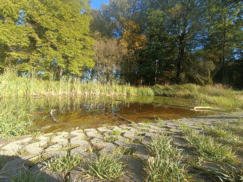
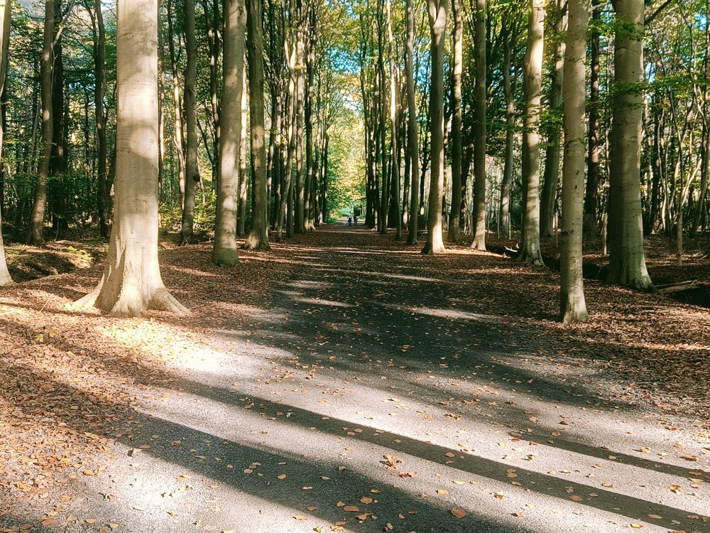
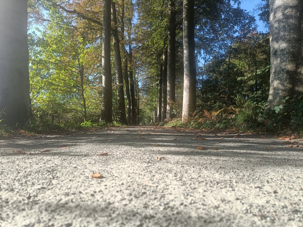
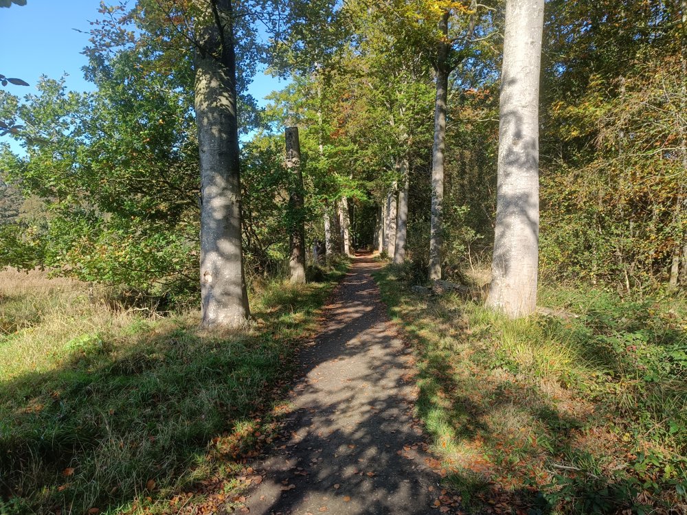
This walk is located around and in the provincial domain of Bulskampveld.

The warm-up still takes place in the Vagevuurbossen, but then you head towards the beautiful provincial domain. Relax, admire the beautiful ponds and the Castle of Bulskampveld. Or enjoy a snack and a drink at the Urban Café.

🅿️ Parking Aanwijs - Reigerlostraat 69, 8730 Beernem

automatic translation

Icon nodes to follow nodes to follow

Image node 20
0 km
Image node 33
0.8 km
Image node 32
0.8 km
Image node 30
1.1 km
Image node 28
1.9 km
Image node 28
1.9 km
Image node 25
2.7 km
Image node 11
3.3 km
Image node 24
3.6 km
Image node 29
4.7 km
Image node 22
5.8 km
Image node 21
6 km
Image node 10
6.2 km
Image node 9
8 km
Image node 4
8.6 km
Image node 5
8.9 km
Image node 6
9.3 km
Image node 13
9.5 km
Image node 8
9.7 km
Image node 12
10.4 km
Image node 19
11.1 km
Image node 18
11.5 km
Image node 20
11.6 km
This route has 2 review(s).
Rate route!

Tuesday, April 7, 2026 by Ann MaA really beautiful route. Very peaceful.
automatic translation

Tuesday, December 9, 2025 by Jacques Verhaeghebeautiful quiet route
automatic translation

Which POI do you want to show on the map?

Experimental hiking network
Unsigned icon

The route you have chosen runs (partly) along an experimental virtual hiking node network (the blue-coloured nodes and sections on the map).

You must be logged in to plan routes here.

Experimental hiking network
Unsigned icon

The route you have chosen runs (partly) along an experimental virtual hiking node network (the blue-coloured nodes and sections on the map).

These routes are not controlled in the field. Before you start hiking here, take a minute to read what an experimental hiking node network is and what rules you should follow when hiking here.