Loading...

The Best of the Zwalm

automatic translation

10.8 km • Zottegem

Icon official route official route

4.0839 1 4/5

10.8 km 0.0 km 0.0 km

route offered by

Yannick Mertens

Icon starting point Addresse starting point (approximate)

Kleie 25, 9620 Strijpen, BE

Icon type signage of route signage

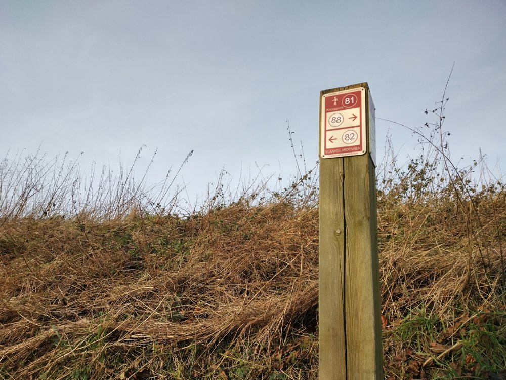
The route is fully signposted with nodes.
5m 5m 5m 5m
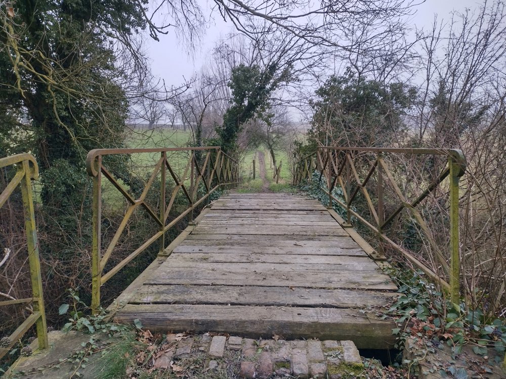
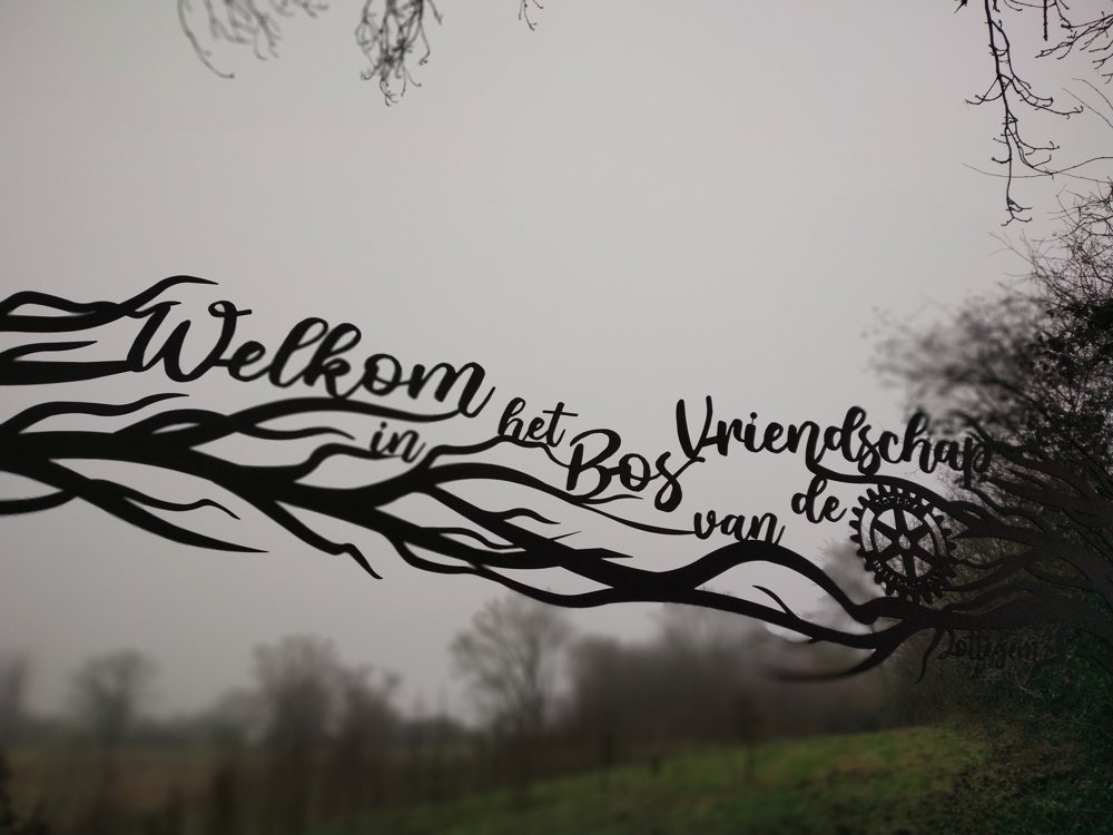
Atmosphere image 1 of route The Best of the Zwalm Atmosphere image 2 of route The Best of the Zwalm Atmosphere image 3 of route The Best of the Zwalm
© Yannick Mertens

Icon description route Description

Beautiful, peaceful walk through the rolling Zwalm Valley.

Following the route of the Tour of Flanders and the Miners' Path, you walk through the fields towards the picturesque village of Sint-Goriks-Oudenhove. Then you follow the railway and Strijpen back to the starting point.

Discover the beautiful hiking landscape of the Flemish Ardennes!

🅿️ Strijpen Cemetery - Kluisstraat 2, 9620 Zottegem

automatic translation

Icon nodes to follow nodes to follow

Image node 79
0 km
Image node 68
0.7 km
Image node 67
1.4 km
Image node 63
2.2 km
Image node 64
2.5 km
Image node 60
3 km
Image node 56
3.5 km
Image node 55
3.5 km
Image node 48
4 km
Image node 49
4.8 km
Image node 50
5.7 km
Image node 54
6.5 km
Image node 54
6.5 km
Image node 65
6.7 km
Image node 66
7.8 km
Image node 81
9 km
Image node 82
9.2 km
Image node 83
9.8 km
Image node 84
10.3 km
Image node 79
10.8 km
This route has 1 review(s).
Rate route!

Tuesday, June 23, 2026 by Nadine De WinneA pleasant and peaceful, yet varied walk
automatic translation

Which POI do you want to show on the map?

Experimental hiking network
Unsigned icon

The route you have chosen runs (partly) along an experimental virtual hiking node network (the blue-coloured nodes and sections on the map).

You must be logged in to plan routes here.

Experimental hiking network
Unsigned icon

The route you have chosen runs (partly) along an experimental virtual hiking node network (the blue-coloured nodes and sections on the map).

These routes are not controlled in the field. Before you start hiking here, take a minute to read what an experimental hiking node network is and what rules you should follow when hiking here.