 Hiking
 Login
Login
 More
More
 EN
EN
 Premium
Hoppewandeling
11.9 km • Dilbeek
 official route
3.2256 7 3.7/5
route offered by
 Addresse starting point (approximate)
Parking Huisje Mostinckx, Dorpsplein 5, 1700 Sint-Martens-Bodegem (Dilbeek)
 signage
The route is signposted with thematic signs (no nodes). You can use a GPS device or our app to follow the route through the virtual nodes.
 Description
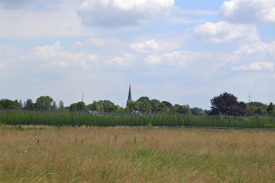
The Hoppe Walk takes you from Sint-Ulriks-Kapelle to Sint-Martens-Bodegem and back. Before 1950, the landscape was still defined by fields with hop poles. Each brewery also used to have its own hop fields. Now there are only a few left in the municipality. Along the way you'll walk past the Girardin Brewery. Here, they still brew Lambic, Kriek and Geuze. In Sint-Martens-Bodegem you can still find one of the last witnesses of the half-timber and loam building in the Pajottenland, the little house Mostinckx. The hike can be shortened to 6.9 km starting at house Mostickx (Dorpsplein 5, Sint-Martens-Bodegem) or to 5.2 km starting at the church of Sint-Ulriks-Kapelle. This hike is signposted with a 6-sided sign with the name Hoppewandeling.
automatic translation
 nodes to follow
0 km
0.2 km
1.5 km
2.1 km
2.4 km
3.5 km
3.7 km
4.1 km
6.5 km
6.5 km
7.7 km
8.1 km
9 km
9.9 km
10.5 km
11.1 km
11.9 km
Friday, July 25, 2025 by B.B.follow Hoppewandeling because no knots
automatic translation
Tuesday, June 22, 2021 by J.V.Hike with nice views and beautiful stretches of nature, though unfortunate that it is not maintained with overgrown trails and several damaged signs.
automatic translation
Friday, March 5, 2021 by M.D.Beautiful pieces of nature and beautiful scenery. Only the permanent buzzing of the E40 highway in the background is disturbing, but of course that can't be helped. ~ We did get lost 3 times because the signs are not very clear. Fortunately there is the option to indicate in the app where you are and then you quickly see where you went wrong.
automatic translation
Friday, January 15, 2021 by André MertensSoon the trail will be minimally altered but you will pass 2 hop fields worthy of the hike's name.
automatic translation
Sunday, December 20, 2020 by Guido StiensSignage was fine (again) 🙂 Nice hike, alternating between paved and unpaved.
automatic translation
Wednesday, September 2, 2020 by willy ThielemansThe signs, Hoppe hike, were missing or damaged. The roads lower there non-maintained. No one cared about this all summer. This hike is still just fine. Still 3.5 stars.
automatic translation
Friday, August 7, 2020 by Arlette VercammenBeautiful, but signposts were missing, so I could not do the hike "correctly". Therefore only 3 stars.
automatic translation


 Upgrade to Premium Plus
