 Hiking
 Login
Login
 More
More
 EN
EN
 Premium
The Wonderful Wijers
automatic translation
10.6 km • Hasselt
 official route
2.2872 0 0/5

 Addresse starting point (approximate)
Putvennestraat 112, 3500 Hasselt, BE
 signage
The route is fully signposted with nodes.
 Description
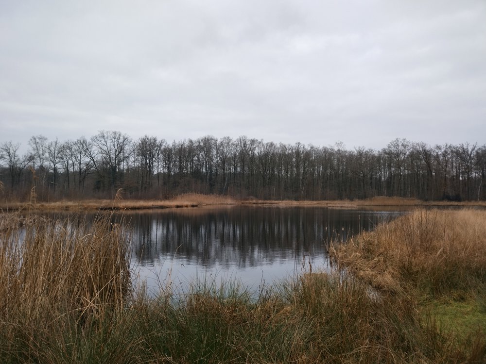
You start at Domein Kiewit and walk towards Bokrijk through the Land of 1001 Ponds.
After Bokrijk Castle, you walk through Het Wik, a peaceful natural area, and cross the experience forest. This Arboretum of Bokrijk is 18 hectares in size with one of Belgium's largest plant, tree, and shrub collections.
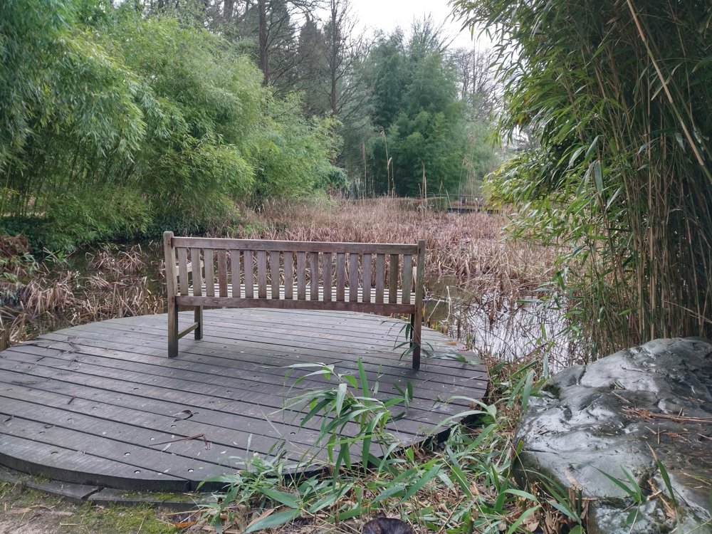
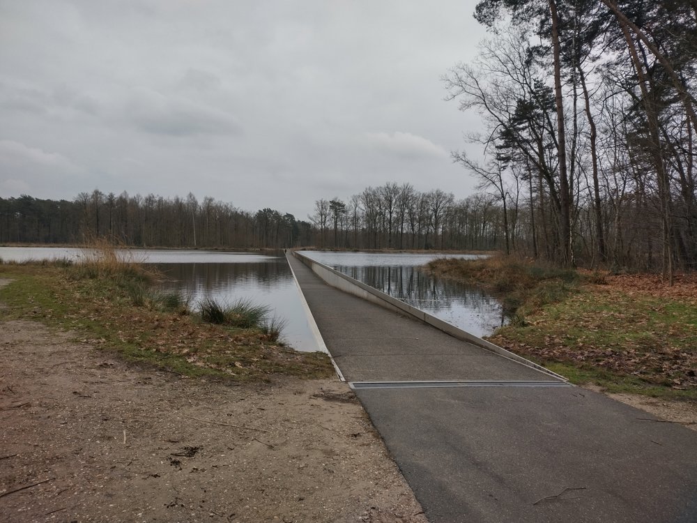
Then you head towards 'Cycling through Water', greet the Galloways, and continue back to Kiewit Castle on the boardwalk. Relax in this beautiful Limburg landscape!
🅿️ Domein Kiewit - Putvennestraat 112, 3500 Hasselt
☝️ Dogs are not allowed between junction 59 and junction 58 (Galloways). Still want to bring your four-legged friend(s)? Route code: 9lqf2k
automatic translation
 nodes to follow
0 km
0.2 km
0.3 km
0.8 km
1.7 km
2.2 km
2.9 km
3.5 km
3.6 km
4.5 km
5.1 km
5.4 km
6.7 km
7 km
7 km
7.9 km
8.7 km
9.3 km
9.8 km
10 km
10.1 km
10.3 km
10.5 km
10.6 km


 Upgrade to Premium Plus
