 Hiking
 Login
Login
 More
More
 EN
EN
 Premium
Calm with an edge 😉
automatic translation
12.4 km • Hechtel-Eksel
3.1670 0 0/5

 Addresse starting point (approximate)
Sint Lambertusstraat 57, 3940 Hechtel-Eksel, BE
 signage
The route is fully signposted with nodes.
 Description
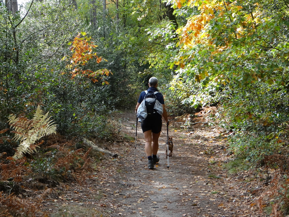
We took this autumn walk on October 9, 2025 (15,869 steps).
A journey through the Limburg Kempen, where relative silence and nature predominate.
📸 What you encounter along the way:
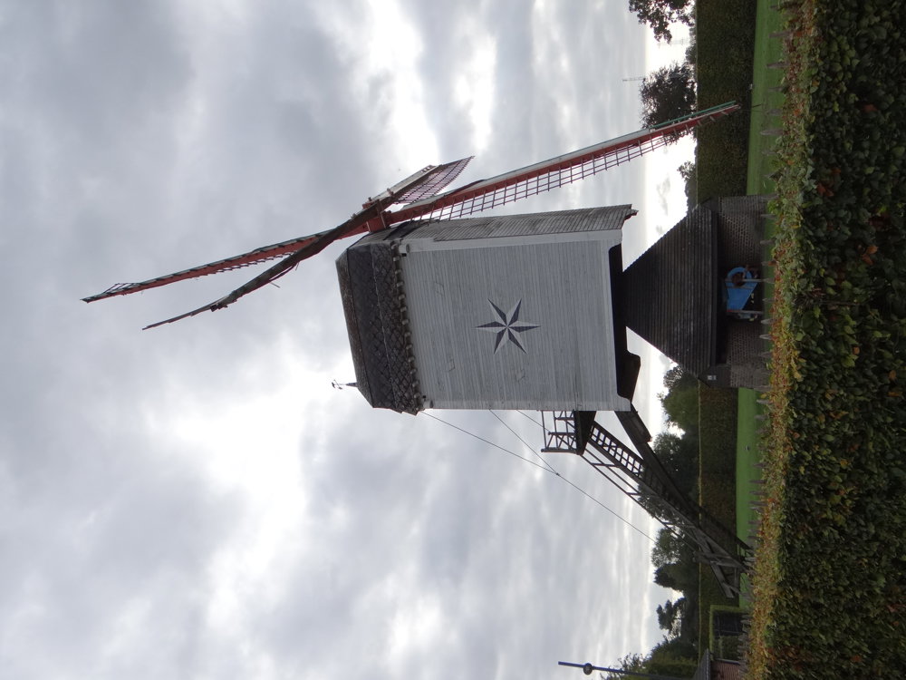
- Stermolen: a charming old windmill with a painted compass rose on the millhouse.
- The Cross Chapel: a modest chapel along the path, a place for brief reflection.
- Monument in the Market Square: a tribute to those who fell in both world wars.
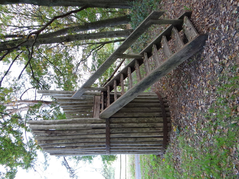
- Viewing tower: a playful element along the route, fun for young and old alike.
🍽️ Brasserie De Meule invites you for a stopover with a local drink or snack on a typical Limburg terrace.
🔊 Sound atmosphere: Although the route mainly passes through quiet natural areas, the background noise of a nearby shooting range is regularly audible. For us, this wasn't disturbing, rather a fixed part of the local ambiance.
More photos: https://photos.app.goo.gl/2dTyByS5nxKMJJ2XA
Happy walking,
Eddy, Rita, and Prinske
automatic translation
 nodes to follow
0 km
0.1 km
0.7 km
1.3 km
2.3 km
2.3 km
3.6 km
5.2 km
5.2 km
6.1 km
7.1 km
7.6 km
8.6 km
9.8 km
10.4 km
10.6 km
11.2 km
12.3 km


 Upgrade to Premium Plus
