 Hiking
 Login
Login
 More
More
 EN
EN
 Premium
Mullerthal-heavy and long hike
automatic translation
25.4 km • Beaufort
1.5375 0 0/5
25.4 km
0.0 km
0.0 km

 Addresse starting point (approximate)
Rue De La Sûre 6A, 6350 Beaufort, LU
 signage
The route is partially signposted with thematic signs (no nodes). Use a GPS device or our app to follow the route.
© Claudia Pierreux
 Description
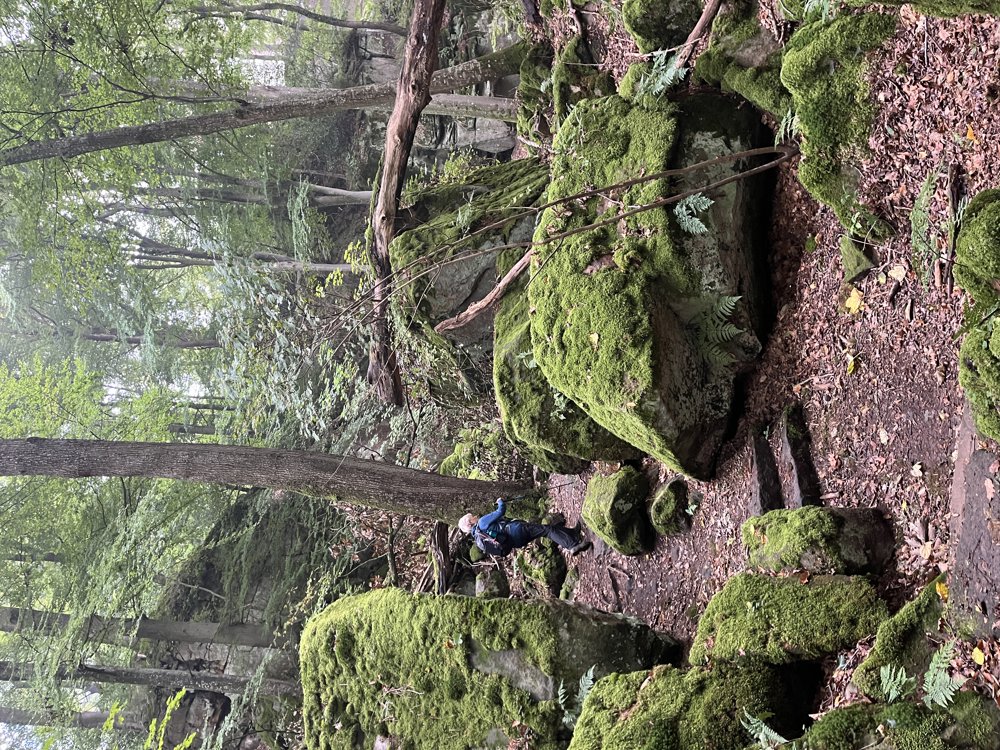
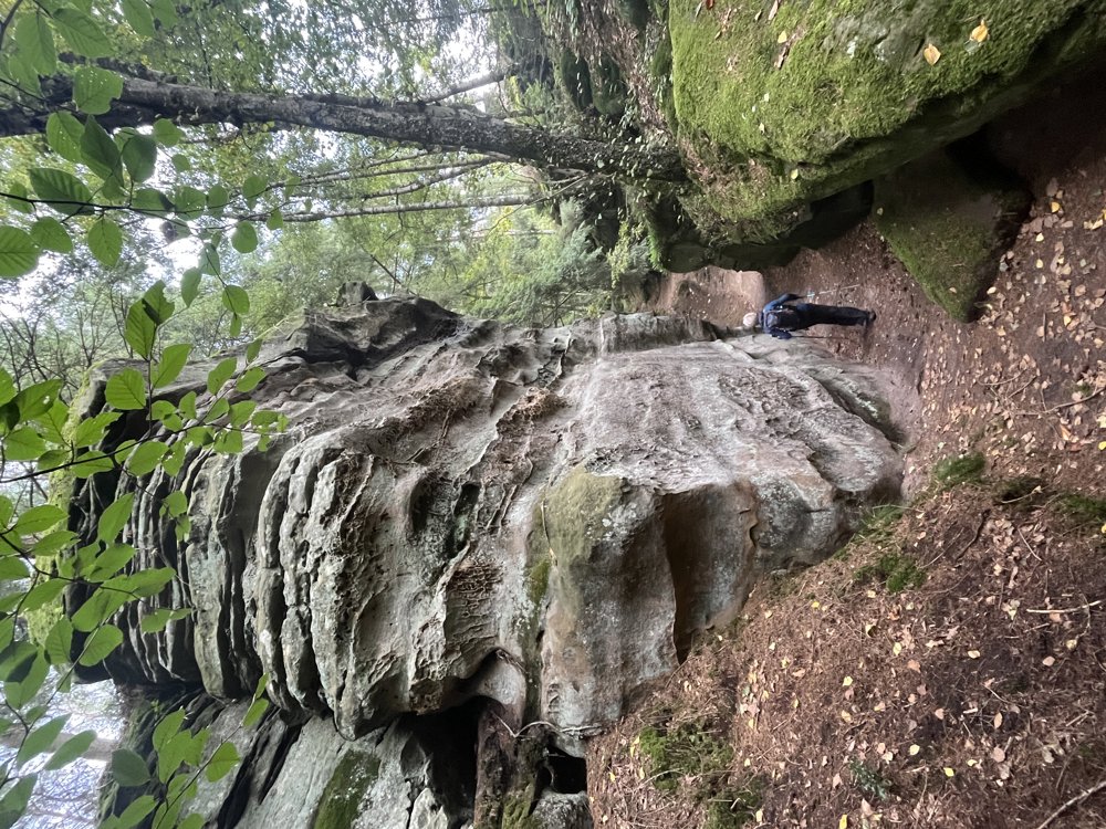
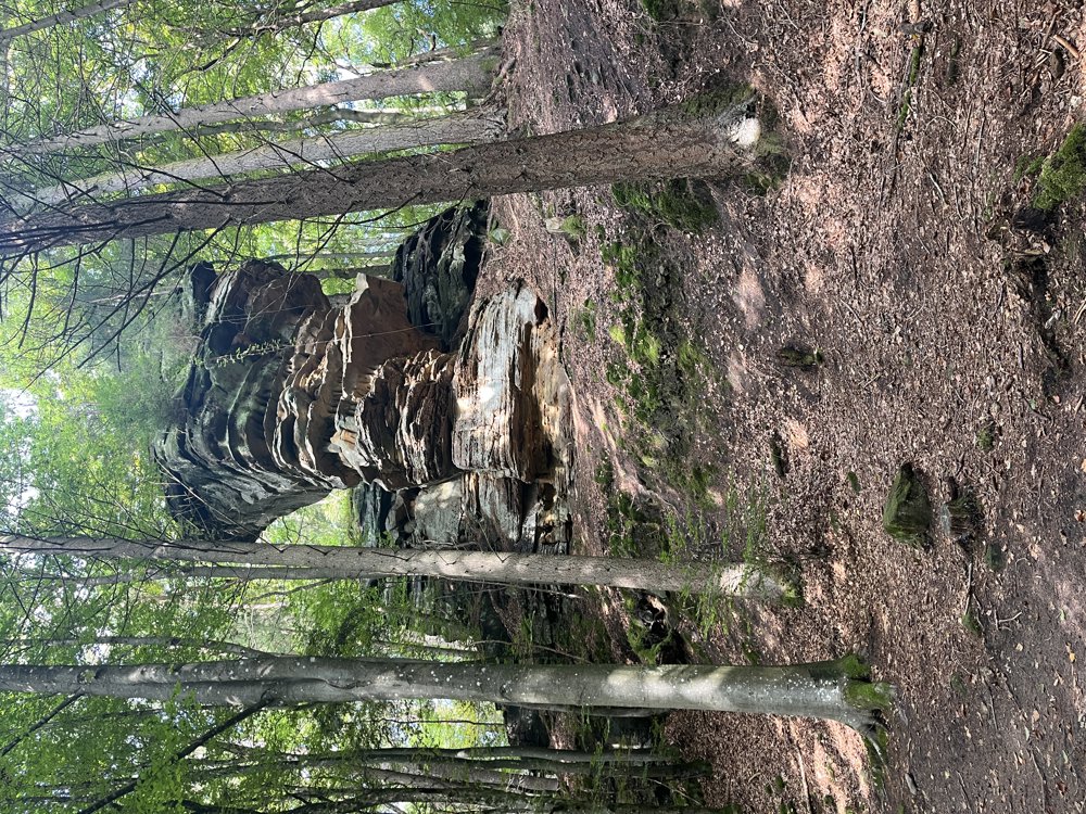
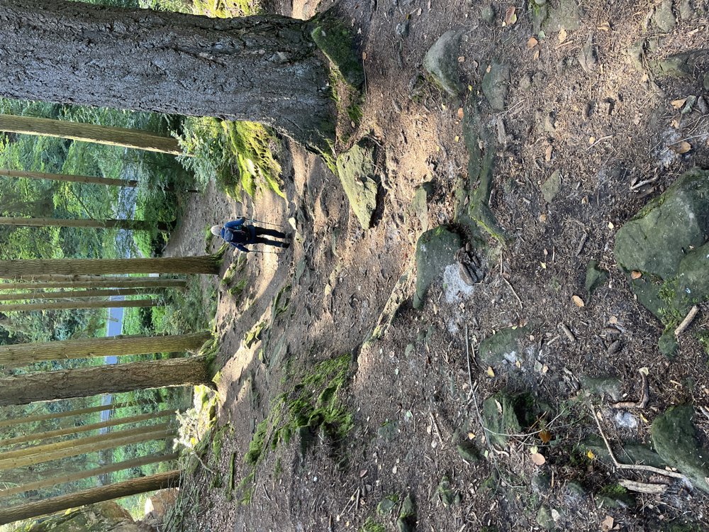
Between Bollendorf and Berdorf.
Combination of different routes in the Mullerthal.
Parking at the cemetery of Dillingen (located on the route).
In Berdorf, a small section on the footpath along a major road, the rest: nature!
Typical Mullerthal hike: rocks, steep up and down with/without stairs. Adventurous.
Strava indicated 28.70 km at the end of the day.
automatic translation


 Upgrade to Premium Plus
