
 Hiking
 Login
Login
 More
More
 EN
EN
 Premium
Double the Kemmelberg!
automatic translation
7.7 km • Heuvelland
2.8399 0 0/5

 Addresse starting point (approximate)
Dries 5, 8956 Kemmel, BE
 signage
The route is fully signposted with nodes.
 Description
Challenging walk!
Only 7.7 km, but do not underestimate the walk...
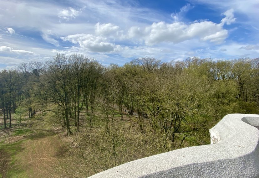
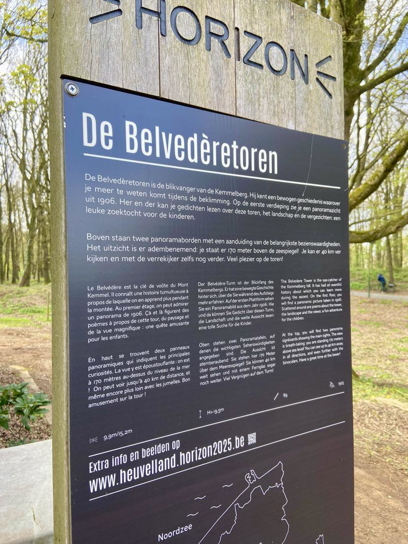
The warm-up is done by climbing the Lettenberg. On the horizon, you can see Ypres as well as the church tower of Wijtschate. Then you climb the Kemmelberg, via, among others, forest paths. Then you walk down a narrow sunken asphalt road. Next, enjoy the panorama of northern France. Then, climb again via the well-known cobbled road towards the top of the Kemmelberg. Next to the cobbled road, there is a path for walkers. At junction 82, all the way up, you can take the spiral staircase of the Belvédère tower for those who want to go even higher! Then descend via a nice boardwalk and through Warande Park back to the village of Kemmel.
automatic translation
 nodes to follow
0 km
0.5 km
0.6 km
0.7 km
0.9 km
1.4 km
1.8 km
2.5 km
2.8 km
3 km
3.4 km
3.4 km
3.6 km
4.1 km
4.2 km
4.6 km
5 km
5.3 km
6.1 km
6.2 km
6.9 km
7 km
7.2 km
7.7 km



 Upgrade to Premium Plus


