
 Hiking
 Login
Login
 More
More
 EN
EN
 Premium
Genk: from Kattevennen to the stars
automatic translation
11.7 km • Genk
2.0822 0 0/5

 Addresse starting point (approximate)
Kattevennen 11, 3600 Genk, BE
 signage
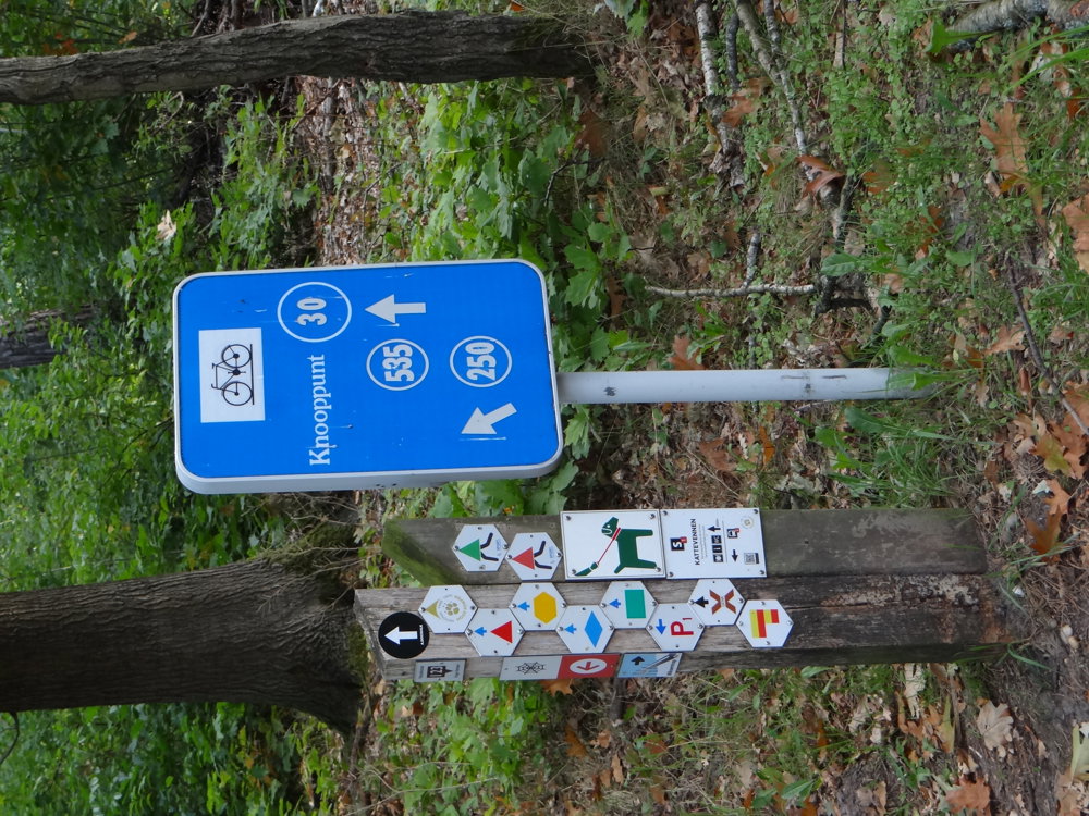
The route is fully signposted with thematic signs (no nodes).
 Description
Markers in both directions: yellow hexagon.
We did this beautiful walk on 09/30/2025 (16,170 steps).
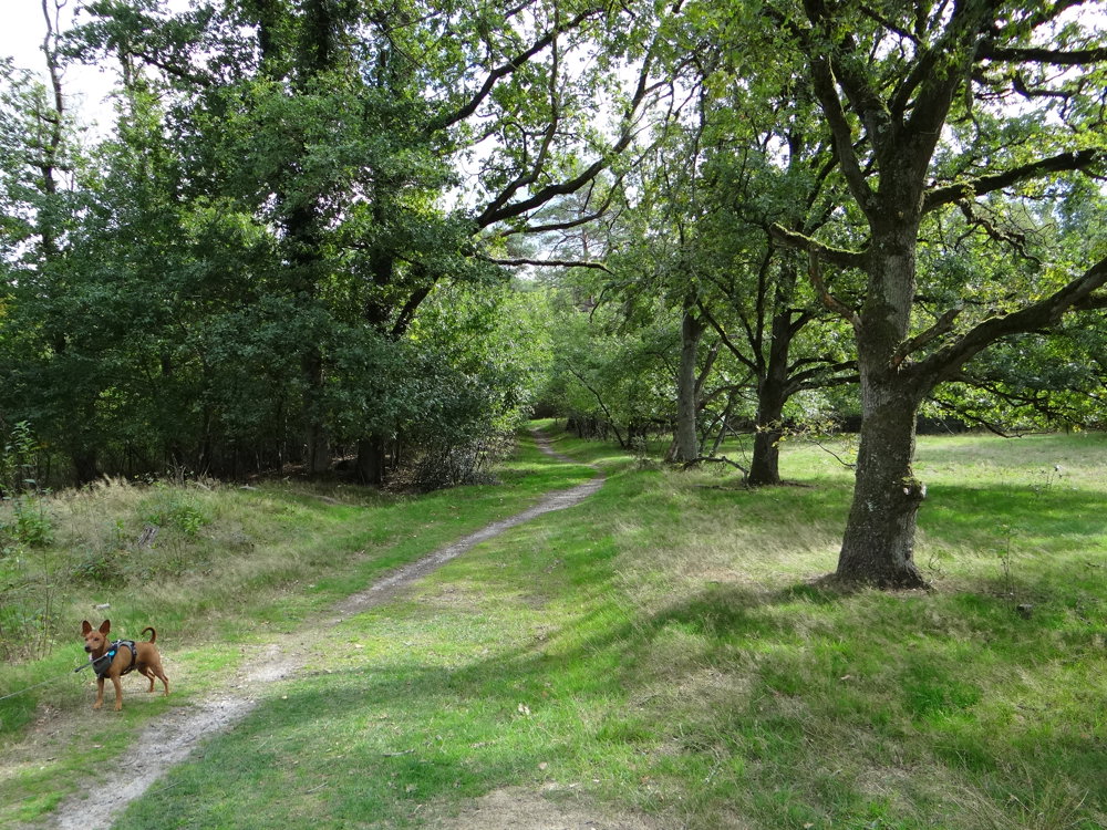
We start in Kattevennen and walk through quiet forests, open heathland, and the beautiful nature reserve Papendaalheide. This recreational domain forms a green connection between Kattevennen and Lieteberg and provides space for walkers, anglers, and BMX riders.
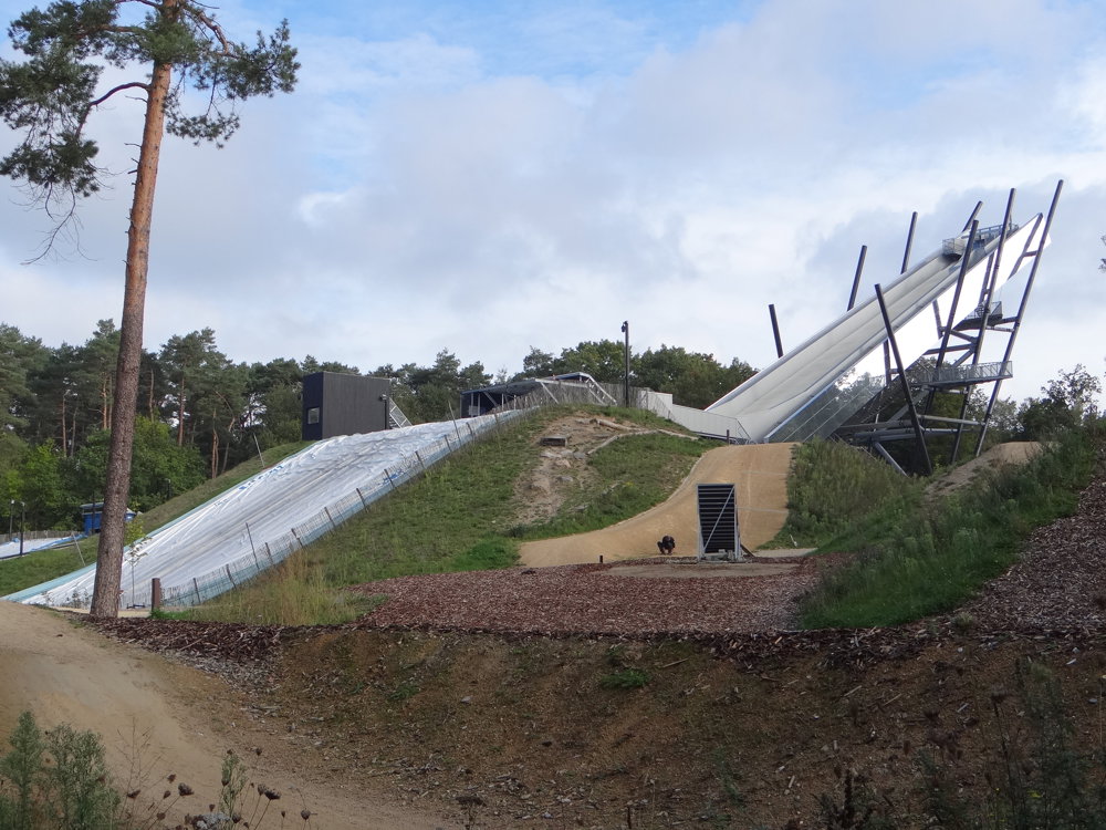
At Sport Vlaanderen Genk, the Lightning Stairs tower above the landscape. Along the way, we pass the Chapel of Terboekt, the Lourdes Grotto, and the Yunus Emre Mosque, each with its own story.
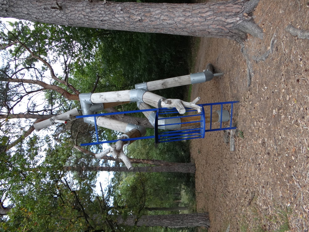
The Stokkenman Route adds a playful touch. And in Kattevennen itself, we are surprised by the Cosmodrome and rocket Astra, a nod to the universe.
A varied loop full of tranquility, nature, and wonder.
More photos: https://photos.app.goo.gl/LbLAqJLrm85Lc6fGA
Happy walking,
Eddy, Rita, and Prinske
automatic translation
 nodes to follow
0 km
0.3 km

0.4 km
0.7 km
2.8 km
4.6 km
5.1 km
5.8 km
5.8 km
5.8 km
6.3 km
6.5 km
6.8 km
7.4 km
7.9 km
7.9 km
8 km
8.7 km
9.1 km
9.8 km
9.8 km
10.5 km
10.6 km
11.1 km
11.3 km
11.6 km
11.7 km



 Upgrade to Premium Plus


