 Hiking
 Login
Login
 More
More
 EN
EN
 Premium
Exploration of the landscape around Overpelt
automatic translation
9.7 km • Pelt
2.1811 0 0/5

 Addresse starting point (approximate)
Breugelweg 198, 3900 Overpelt, BE
 signage
The route is fully signposted with nodes.
 Description
We did this walk on 09/28/2025 (12,619 steps).
Although some markers are missing, this poses no problem for those who are well-prepared (map, GPS, app). On the contrary, it gives the walk a slightly adventurous character.
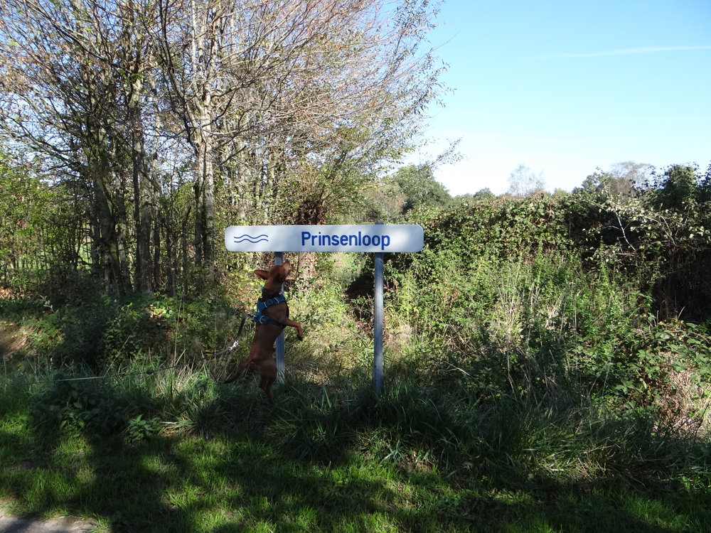
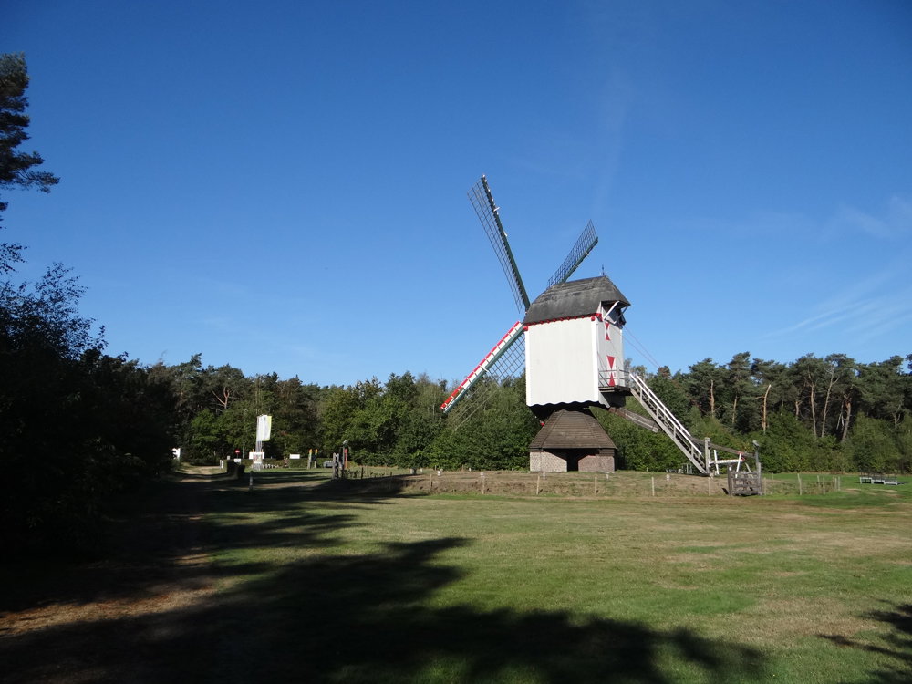
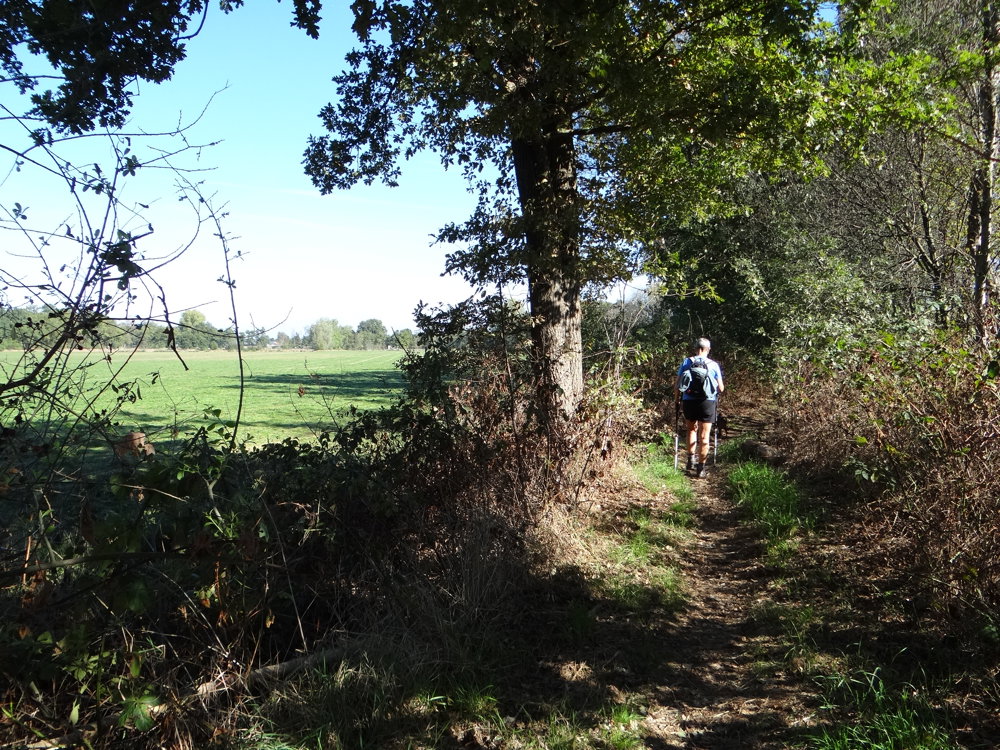
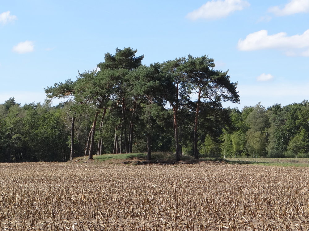
This walk in Overpelt offers a varied exploration of the Kempen landscape. The route leads through quiet residential areas, wooded paths, and open fields, with the Dommel as an atmospheric companion. Along the way, you discover the Heesakkerpark, where the historic Sevensmolen is a highlight. Further on, you pass by the Molenmuseum and the Sint-Willibrorduskapel, the oldest place of worship in Neerpelt. On the Heesakkerheide, a burial mound field reminds you of prehistoric times.
The route is ideal for those who appreciate tranquility, nature, and heritage.
More photos: https://photos.app.goo.gl/orxcFYDvFdMa4kdx6
Happy walking,
Eddy, Rita, and Prinske
automatic translation
 nodes to follow
0 km
0.3 km
0.6 km
0.7 km
2 km
4.4 km
4.6 km
5.1 km
6.2 km
6.7 km
7.4 km
7.9 km
8.1 km
9.1 km
9.1 km
9.3 km
9.5 km
9.7 km


 Upgrade to Premium Plus
