 Hiking
 Login
Login
 More
More
 EN
EN
 Premium
Rural Wortel: a tranquil discovery
automatic translation
10 km • Hoogstraten
3.0844 0 0/5

 Addresse starting point (approximate)
Pastorijstraat 2, 2323 Hoogstraten, BE
 signage
The route is fully signposted with nodes.
 Description
We took this walk on 09/26/2025 (13,064 steps).
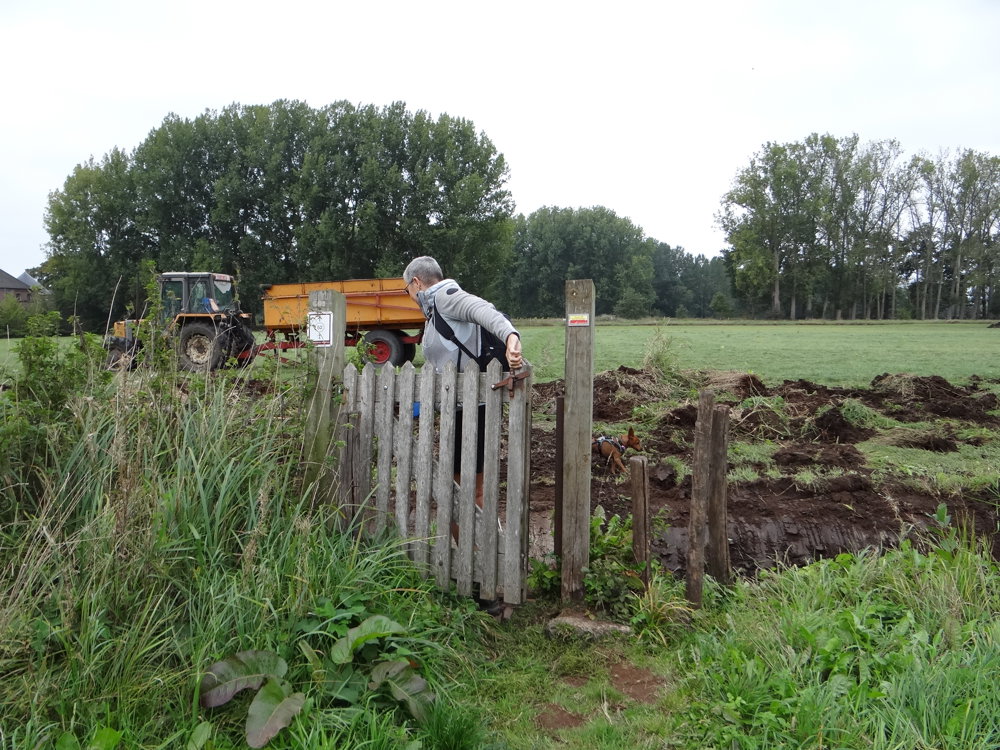
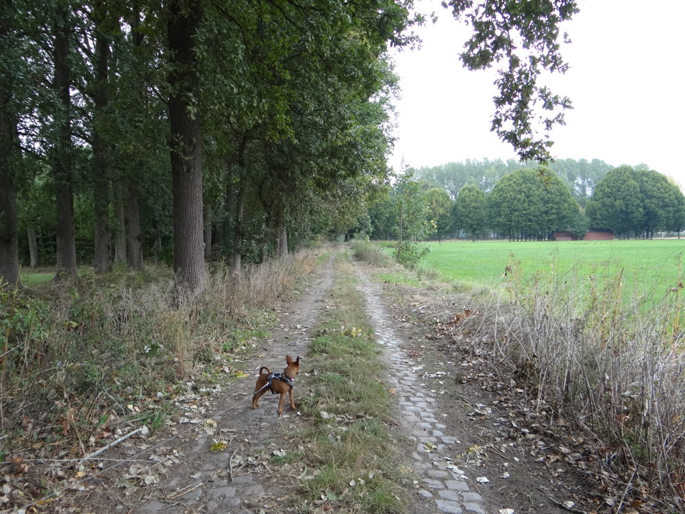
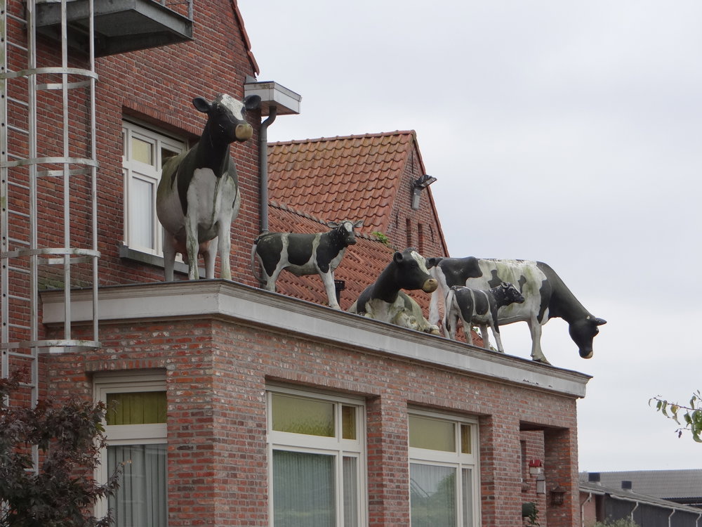
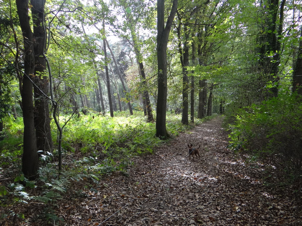
This rural walk in Wortel takes you along quiet roads, surrounded by extensive fields and characteristic tree lines. Along the way, you discover various heritage sites such as the 'Gelmelslot', the 'Benificael Huys', and the 'Sacred Heart Chapel'. A picnic bench in memory of Fons Stoffels offers a moment of reflection.
You also pass the Bee Center De Raam and the Bolkse Beek, where nature and education meet. At De Bouwhoeve, you get an insight into contemporary rural life.
Historical elements such as the monument for the fallen of 1914–1918 and the information board about Halifax HR833 serve as reminders of the past.
This walk offers a harmonious mix of tranquility, nature, and culture in the heart of the Antwerp Kempen.
More photos: https://photos.app.goo.gl/g6NWtCjhCvKkoS2y8
Happy walking,
Eddy, Rita and Prinske
automatic translation
 nodes to follow
0 km
1.2 km
1.5 km
1.7 km
2.2 km
4.1 km
4.3 km
5 km
6.9 km
7.1 km
8.4 km
9.6 km
10 km


 Upgrade to Premium Plus
