 Hiking
 Login
Login
 More
More
 EN
EN
 Premium
Guttland Trail Mamerleeën
automatic translation
7.5 km • Mersch
1.4601 0 0/5

 Addresse starting point (approximate)
Rue Du Camping 3, 7572 Mersch, LU
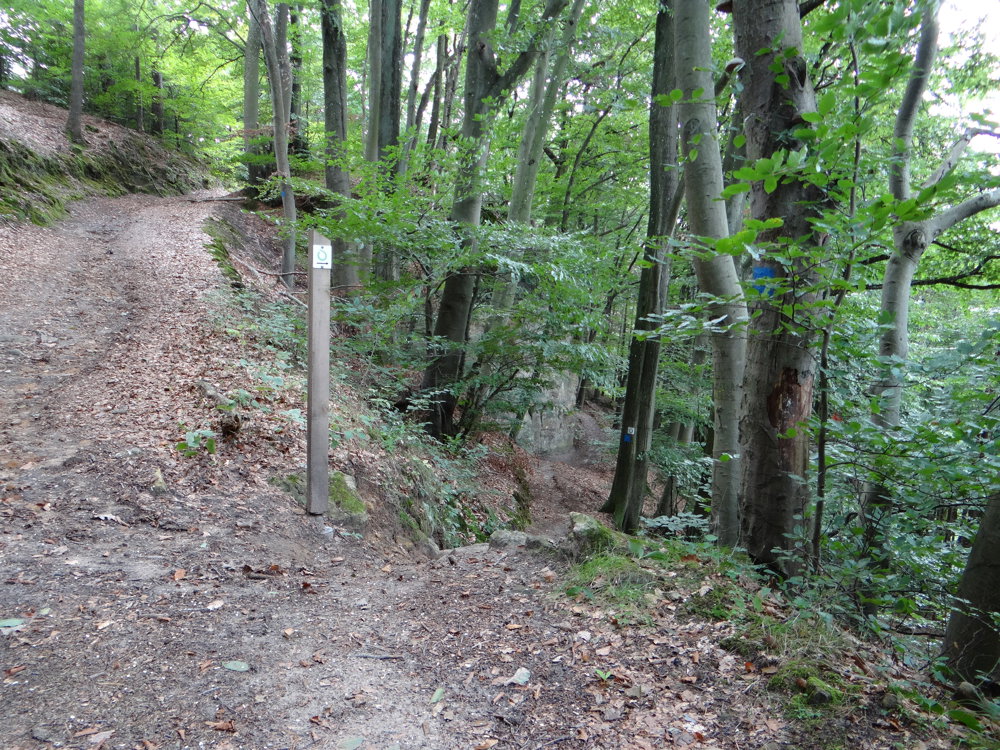
 signage
The route is fully signposted with thematic signs (no nodes).
 Description
Markers in both directions: green open circle on white.
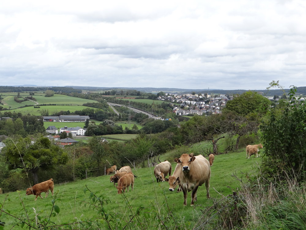
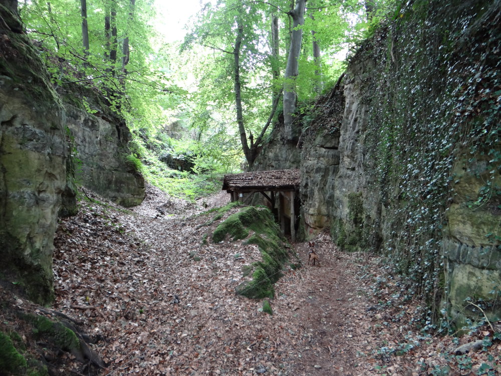
This adventurous hike starts in Reckange at the 'Monument national de l'indépendance' and immediately takes you through the unspoiled valley of Wollefsgriecht. Then you dive into the forest, where impressive rock formations and mysterious caves emerge.
The Mamerleeën are the highlight: a network of natural sandstone caves and artificial tunnels, with the highlight being the Huellee, which overlooks the donjon of Schoenfels Castle.
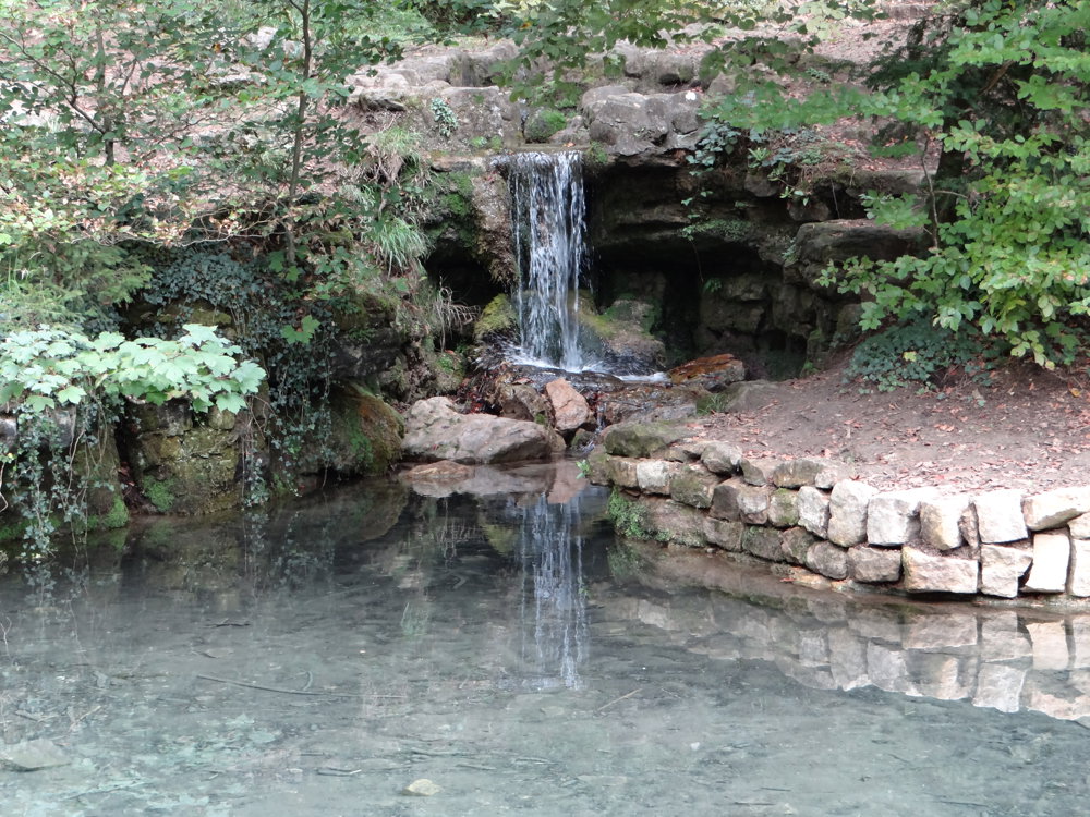
Further along, the Hunnebur recreation area invites you to take a break by the fairytale pond. A short but characterful journey full of geology, legends, and silence, ideal for those who love nature with a story.
More photos: https://photos.app.goo.gl/fyREbU8DQM3Rqkdu9
Happy hiking,
Eddy, Rita, and Prinske
automatic translation


 Upgrade to Premium Plus
