 Hiking
 Login
Login
 More
More
 EN
EN
 Premium
Aalst and its nature
automatic translation
28 km • Aalst
2.4732 0 0/5

 Addresse starting point (approximate)
Frans Roucelstraat 57, 9300 Aalst, BE
 signage
The route is fully signposted with nodes.
 Description
Walk done on 23/09/2025
The start of the loop is at junction 23. Between junction 22 and 23, there are many possibilities to park the car.
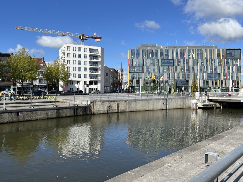
On the way to junction 23, it was quite wet! Through the center of Aalst, as you cannot yet go from junction 24 to junction 26 (bridge coming soon). Also through the center of Erembodegem. But these are good spots for a drink or something to eat.
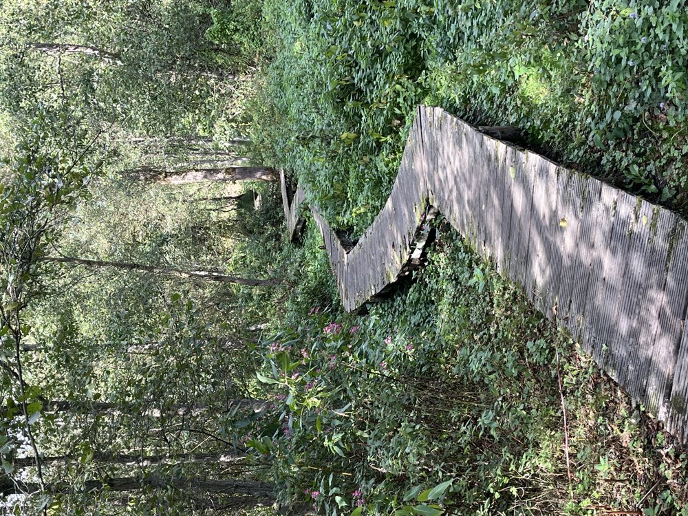
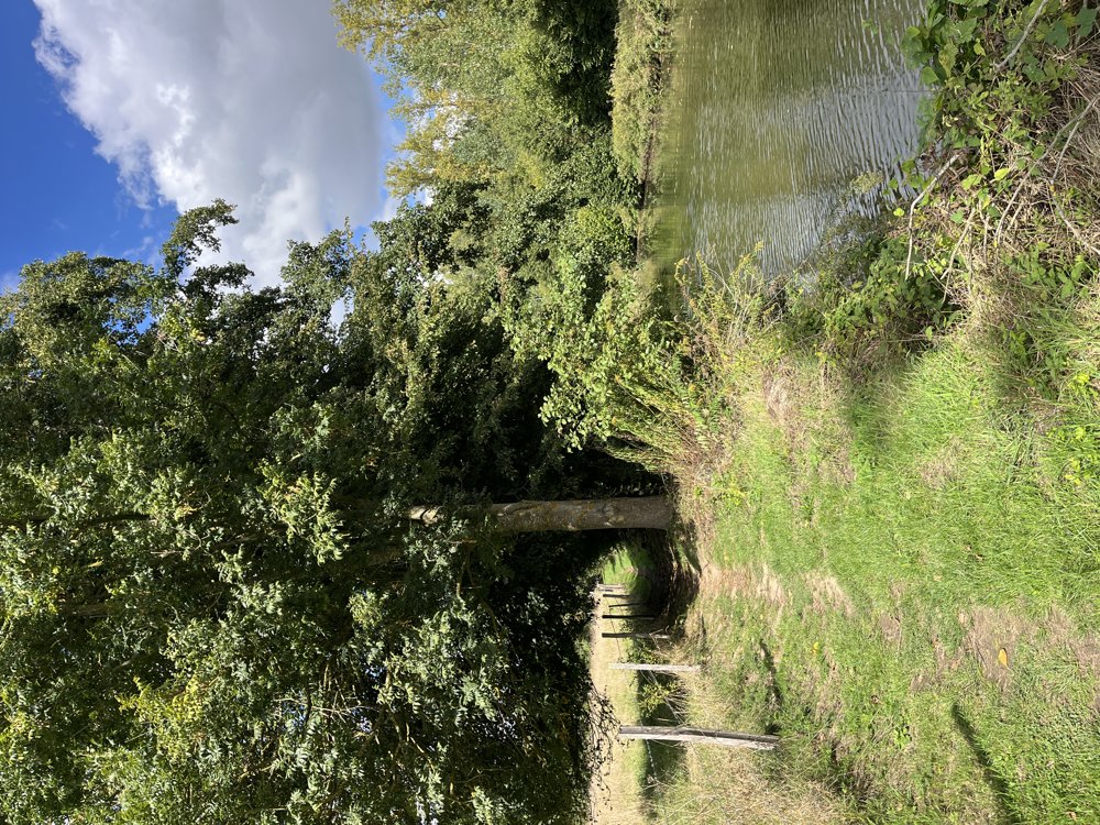
If you reverse the walk, Aalst Center is a nice final stop. The Osbroek is always beautiful to walk through. Wellemeersen is also a nice piece of nature.
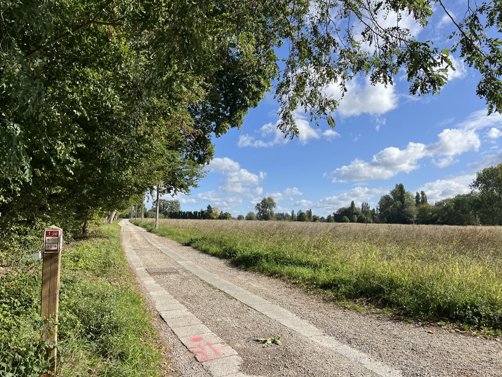
A stretch along the Dender. Nice walk, but in many areas, you can hear the noise of the E40.
automatic translation
 nodes to follow
0 km
3.2 km
5.1 km
7.4 km
9.3 km
10.4 km
11.1 km
12.3 km
12.9 km
13.1 km
14.3 km
17.3 km
18.2 km
18.5 km
19.5 km
19.8 km
20.1 km
21.7 km
23.3 km
24.8 km
28 km


 Upgrade to Premium Plus
