 Hiking
 Login
Login
 More
More
 EN
EN
 Premium
Southern Scents in the Lommel Forests
automatic translation
10.3 km • Lommel
2.8923 0 0/5

 Addresse starting point (approximate)
Sportveldenstraat 10, 3920 Lommel, BE
 signage
The route is fully signposted with nodes.
 Description
We took this walk on 09/20/2025 (13,853 steps).
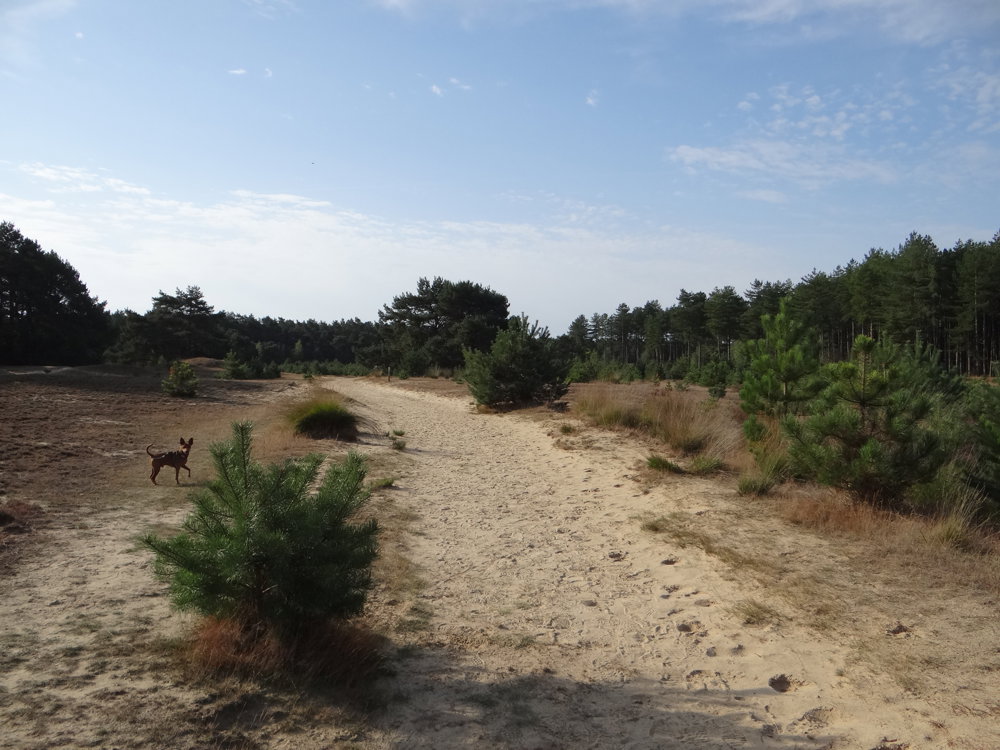
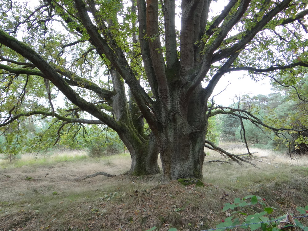
This loop route takes you through the heart of Lommel's Bosland. The scent of pine, warm sand, and car-free paths evoke a southern feeling.
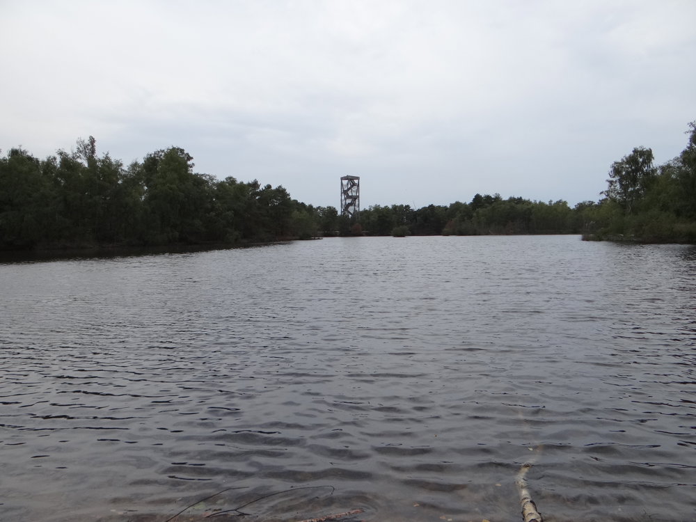
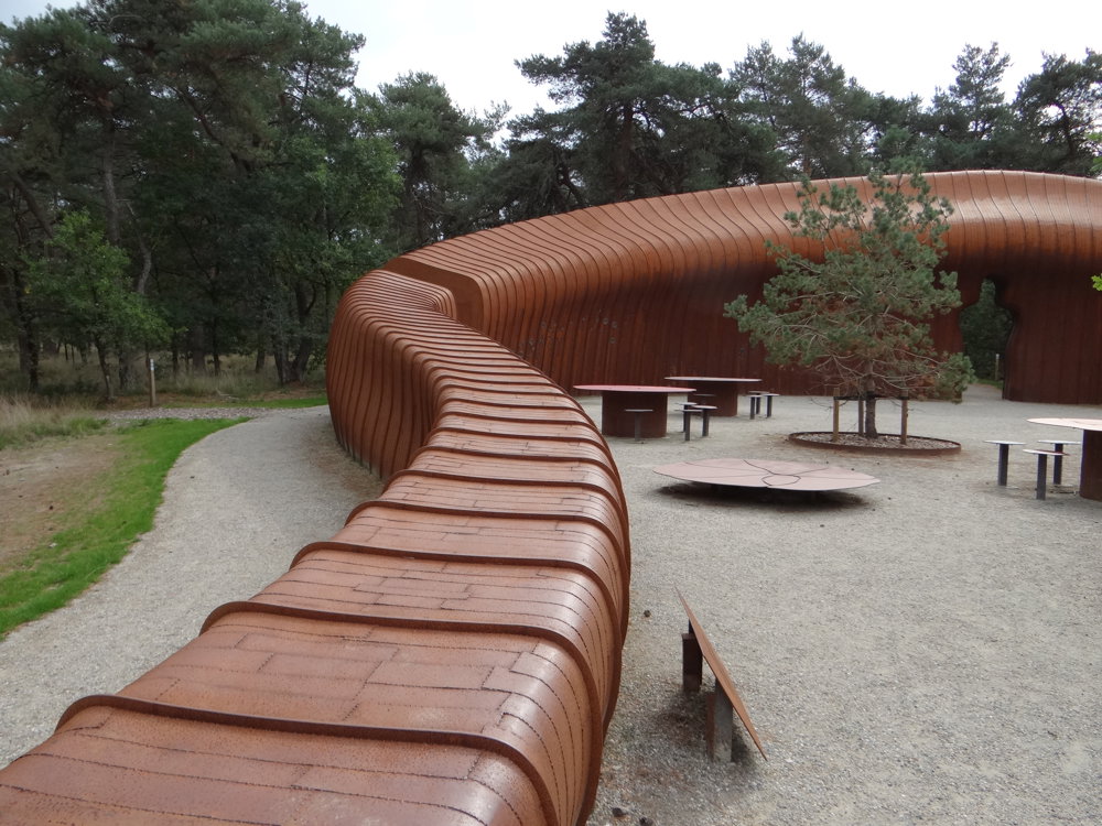
You walk along the Lommel Sahara, a unique dune landscape of 193 hectares, and the "House of Nature," the gateway to Bosland National Park. Along the way, there are child-friendly stops like the Dol-fijn playground and the play forest at the Sahara. With 89% car-free roads, this is an oasis of peace.
The route is ideal for those who want to unwind, enjoy sun-drenched paths, and the silence of the forest.
More photos: https://photos.app.goo.gl/aFDzAcJSC8JssopG8
Happy walking!
Eddy, Rita, and Prinske
automatic translation
 nodes to follow
0 km
0.2 km
0.8 km
1.2 km
1.8 km
2.5 km
2.7 km
3.2 km
4.1 km
4.5 km
4.8 km
5.4 km
6.2 km
6.9 km
7.1 km
8 km
8.2 km
8.4 km
8.9 km
9.3 km
10.3 km


 Upgrade to Premium Plus
