 Hiking
 Login
Login
 More
More
 EN
EN
 Premium
Sense-stimulating Meuse Valley
automatic translation
11.6 km • Dilsen-Stokkem
2.6343 0 0/5

 Addresse starting point (approximate)
Burg. Prevotlaan 27, 3650 Stokkem, BE
 signage
The route is not signposted. Use a GPS device or our app to follow the route.
 Description
We did this beautiful walk on 09/18/2025 (15,037 steps).
For the route, we chose a variety of hiking markers. Starting from Visitor Center De Wissen in Dilsen-Stokkem, a cross-border walk through the RivierPark Maasvallei begins.
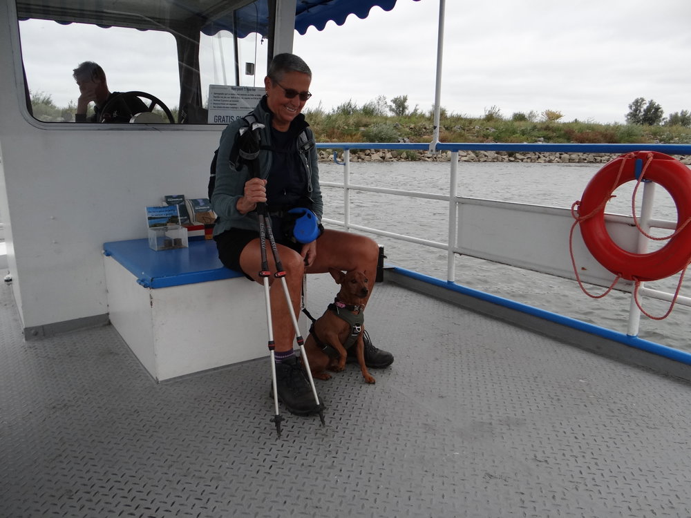
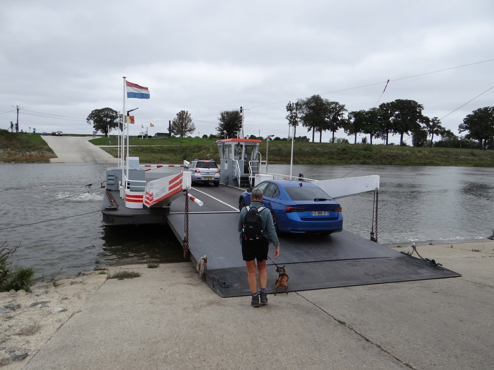
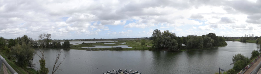
You walk past ponds, reed fields, and open plains where Konik horses and Galloway cattle graze. The ferry 't Veerke between Grevenbicht and Rotem takes you to Dutch Limburg; you can find the current sailing times at "rondjemethetpontje.nl". The car ferry from Berg aan de Maas provides a second crossing.
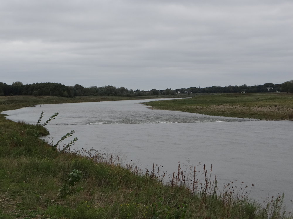
Along the way, you discover monuments and the art piece "Overtocht van Willem van Oranje". The Maas accompanies you with rippling water, birdsong, and soothing vistas. A sensory journey full of nature, silence, and wonder, perfect to enjoy with your walking companions (and four-legged friend!). 🐾🌿
More photos: https://photos.app.goo.gl/GimVuvkYrm4aYrZ39
Happy walking,
Eddy, Rita, and Prinske
automatic translation
 nodes to follow
0 km

0 km
0.1 km
0.1 km
1 km
1.9 km
2.4 km
2.8 km
3.5 km
4.5 km
5.9 km
6.1 km
7.9 km
8 km
8.4 km
9.4 km
9.4 km
10 km
10.1 km
11.5 km

11.6 km


 Upgrade to Premium Plus
