 Hiking
 Login
Login
 More
More
 EN
EN
 Premium
Beaver Brook Valley hiking trail
automatic translation
12.9 km • 9400 Nederhasselt
 official route
3.09413 5 4.7/5
 Addresse starting point (approximate)
Beekstraat 4 9400 Nederhasselt
 signage
The route is not signposted. Use a GPS device or our app to follow the route through the virtual nodes.
 Description
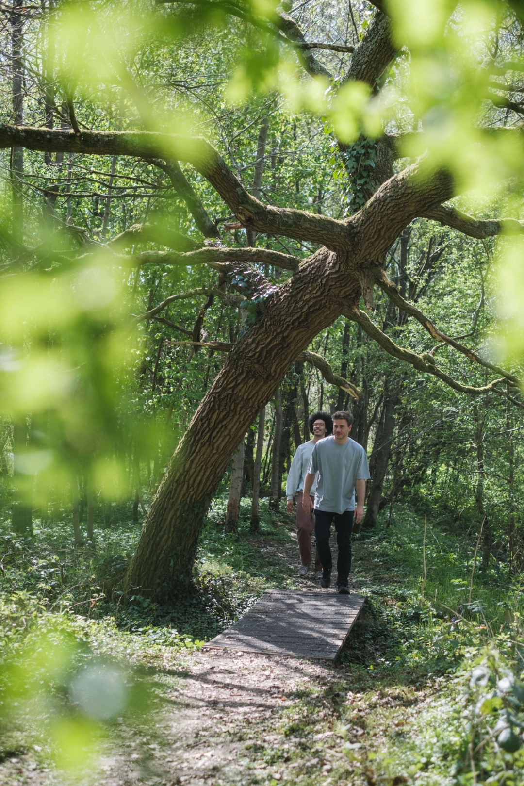
The chances of actually spotting a beaver here, in the green valley between Nederhasselt and Aspelare, are extremely slim - even though they once lived here! What you can see along the way, however, are wet meadows and alder groves that are home to a surprisingly rich fauna and flora.
automatic translation
 nodes to follow
0 km
1.2 km
2.5 km
3.1 km
4.4 km
4.7 km
5.5 km
6.1 km
6.9 km
8 km
8.2 km
8.9 km
11 km
12.5 km
12.9 km
Monday, March 23, 2026 by Sarah ReygaertsA really beautiful walk…lots of nature. Some parts were a bit muddy, but the many beautiful views more than made up for it! Highly recommended…
automatic translation
Saturday, November 15, 2025 by Ralph DPRvery nice trails lots of greenery very pleasant ..beautiful mill along the way ....
automatic translation
Sunday, October 19, 2025 by Peggy PraetNice nature walk, past fields, fields and some forest.I walked the walk in the opposite direction so the forest part comes at the end. I personally like it better.
automatic translation
Sunday, September 28, 2025 by Cecile BickéBeautiful, almost all unpaved. Beautiful views and trails.
automatic translation
Saturday, September 27, 2025 by Johan De PauwNice start through a grove of flattened trails with a beautiful display of wildflowers, perhaps boggy in wet weather. Further variety of footpaths, mostly well trodden and in many places lightly paved (gravel). No nodes visible anymore, fortunately no problem with the qr code.
automatic translation


 Upgrade to Premium Plus
