 Hiking
 Login
Login
 More
More
 EN
EN
 Premium
Moenebroek hiking trail
automatic translation
7.1 km • 9506 Smeerebbe-Vloerzegem
 official route
3.20810 4 4.4/5
 Addresse starting point (approximate)
Vloerzegemstraat 2 9506 Smeerebbe-Vloerzegem
 signage
The route is not signposted. Use a GPS device or our app to follow the route through the virtual nodes.
 Description
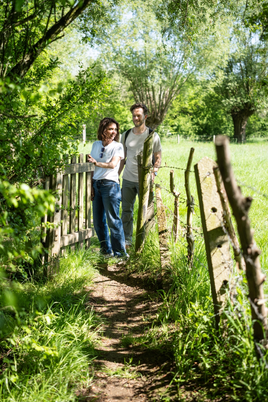
Vloerzegem and Smeerebbe, two tiny villages near Geraardsbergen, were already inhabited in the Iron Age. Today you walk there in unprecedented peace, along many shades of green, old country roads and spots with a 360° view of the surroundings.
automatic translation
 nodes to follow
0 km
0.1 km
1 km
2.9 km
3.4 km
5.4 km
7.1 km
Saturday, April 25, 2026 by M.B.Amazingly beautiful. Just keep in mind that it's a walk through a marsh, so it can get a bit soggy at times.
automatic translation
Sunday, April 12, 2026 by Hilde VeysA beautiful, peaceful walk surrounded by nature
automatic translation
Sunday, September 21, 2025 by Karel NoppeBeautiful, fun hike!
automatic translation
Saturday, September 20, 2025 by Johan De PauwBeautiful, very peaceful and varied hike. You literally walk among the cows. I was fortunate to walk the route during a drier period. GPS or GPX is essential for this hike.
automatic translation


 Upgrade to Premium Plus
