 Hiking
 Login
Login
 More
More
 EN
EN
 Premium
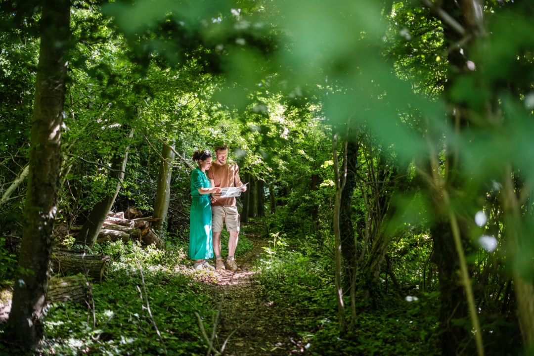
Park Forest-Uilenbroek hiking trail
automatic translation
12.5 km • 9570 Sint-Maria-Lierde
 official route
2.4306 2 3.2/5
 Addresse starting point (approximate)
Dorpstraat 32 9570 Sint-Maria-Lierde
 signage
The route is not signposted. Use a GPS device or our app to follow the route through the virtual nodes.
 Description
This route takes you through the unique relief of the picturesque community of Sint-Marie-Lierde with two (!) village centers, taking you from the nature reserve to views that are a-dem-be-ne-mendous. So be sure to bring your picnic blanket and some power food!
automatic translation
 nodes to follow
0 km
0.7 km
1.4 km
5.3 km
6 km
7.4 km
9.6 km
10.8 km
11.8 km
12.4 km
Saturday, January 31, 2026 by Els TalloenBeautiful weather, clear skies, and indeed stunning views, but... all the signs for the walking junctions have completely disappeared! In the first half of the Uilenbroek section, we took a wrong turn. It wasn't a disaster, but constantly searching for reference points did take away some of the enjoyment. The locals didn't seem to know anything about walking junctions!
automatic translation
Friday, February 6, 2026 by Y.W.They are virtual junctions. You will not see any physical junctions along the way. Navigating via the app on your cell phone is the way to go.
automatic translation
Saturday, January 17, 2026 by Johan De PauwBeautiful route, easy to walk at this time of year because much of it is paved. One downside between junctions 25 and 21: lots of traffic, forcing you to walk on the grass verge. Due to the recent storm, there are also quite a few fallen trees on the route. You can walk over or around them, but watch out for the prickly brambles. Plenty of benches to rest on, but no cafes along the way.
automatic translation


 Upgrade to Premium Plus
