 Hiking
 Login
Login
 More
More
 EN
EN
 Premium
from Mollem to the castle of Walfergem
automatic translation
13.6 km • Asse
1.6624 0 0/5

 Addresse starting point (approximate)
Kouter 24, 1730 Asse, BE
 signage
The route is not signposted. Use a GPS device or our app to follow the route.
 Description
Departure: parking cemetery and sports fields - Kouter 30 - Asse
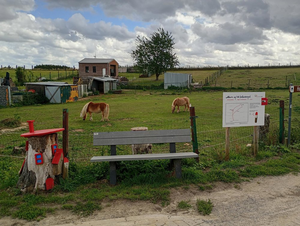
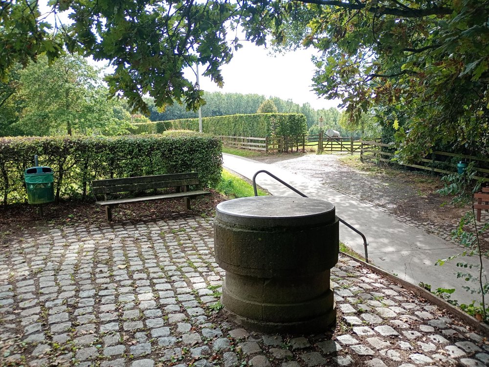
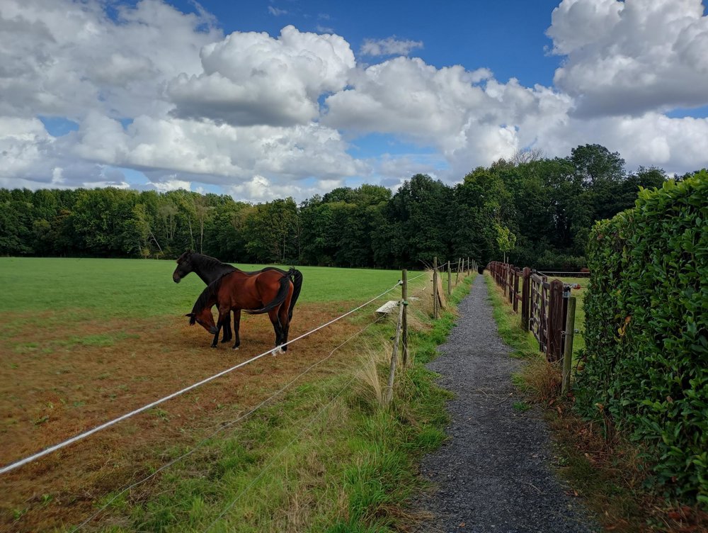
A walk through hilly fields with wide views. There are picnic areas and rest benches at regular intervals. A sanitary stop can be made halfway in Kobbegem.
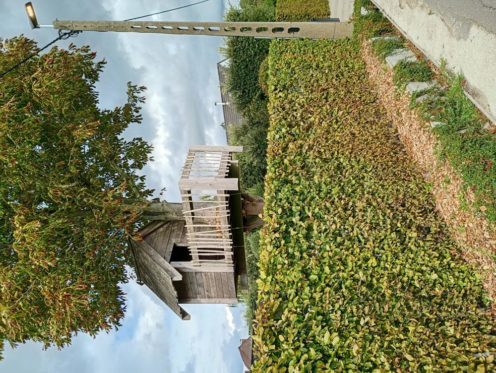
Then continue to the castle of Walfergem (actually not a castle but more of a somewhat oversized farmhouse), the gnome route for the children, and the memorial monument in the hamlet of Beneden Vrijlegem. This monument was erected to commemorate seven children and a young adult who perished on November 12, 1918 (a day after the end of World War I) in the explosion of a gas shell.
automatic translation


 Upgrade to Premium Plus
