 Hiking
 Login
Login
 More
More
 EN
EN
 Premium
Pietersheim – from nature to history
automatic translation
11.2 km • Lanaken
2.7073 0 0/5

 Addresse starting point (approximate)
Neerharenweg, 3620 Lanaken, BE
 signage
The route is not signposted. Use a GPS device or our app to follow the route through the virtual nodes.
 Description
Hiked on 09/11/2025 (14,620 steps)
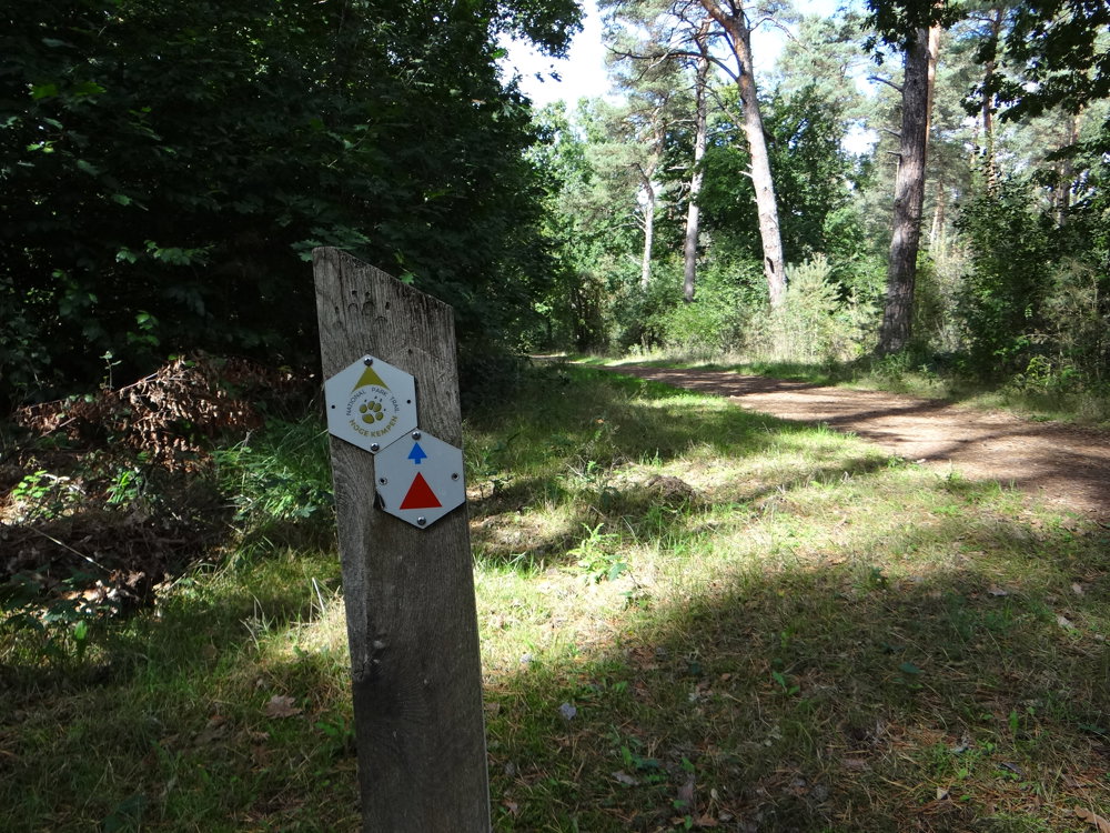
The route is very well marked in both directions with a red triangle.
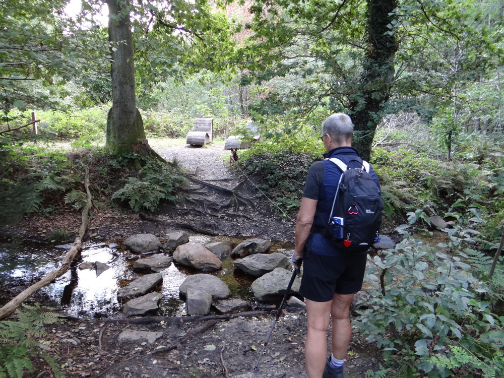
This hiking trail in Hoge Kempen National Park starts at the children's farm of Pietersheim in Lanaken. From there, you walk clockwise through the varied landscape: along narrow paths through dense forests and over the steep edge of the Hoge Kempen, where you are treated to beautiful views.
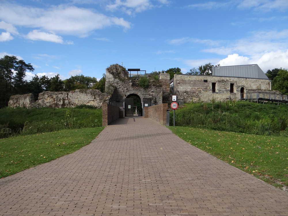
Along the way, you pass stately castle avenues in the Pietersembos, which slowly lead you to the historical heart of the estate. Almost at the end of the journey, the Water Castle Pietersheim awaits – a medieval gem that appears as the 'cherry on the cake', just before you reach the starting point again.
The route combines peace, nature, and heritage in a perfectly balanced loop – ideal for those who enjoy a hike with a surprising finale.
More photos: https://photos.app.goo.gl/Fmd2NciudbeMS4pi8
Happy hiking!
Eddy, Rita and Prinske
automatic translation
 nodes to follow
0 km
0.7 km
0.8 km
0.9 km
2.6 km
3.2 km
5.6 km
6.6 km
7.4 km
8 km
8.5 km
8.6 km
9.4 km
9.7 km
9.8 km
10 km
10.3 km
11.1 km
11.2 km


 Upgrade to Premium Plus
