
 Hiking
 Login
Login
 More
More
 EN
EN
 Premium
Huldenbergse Druivenwandeling
5.7 km • Huldenberg
 official route
2.1379 1 4/5
5.7 km
0.0 km
0.0 km
route offered by

 Addresse starting point (approximate)
Gemeenteplein , 3040 Huldenberg
 signage
The route is fully signposted with nodes.
© Lander Loeckx
 Description
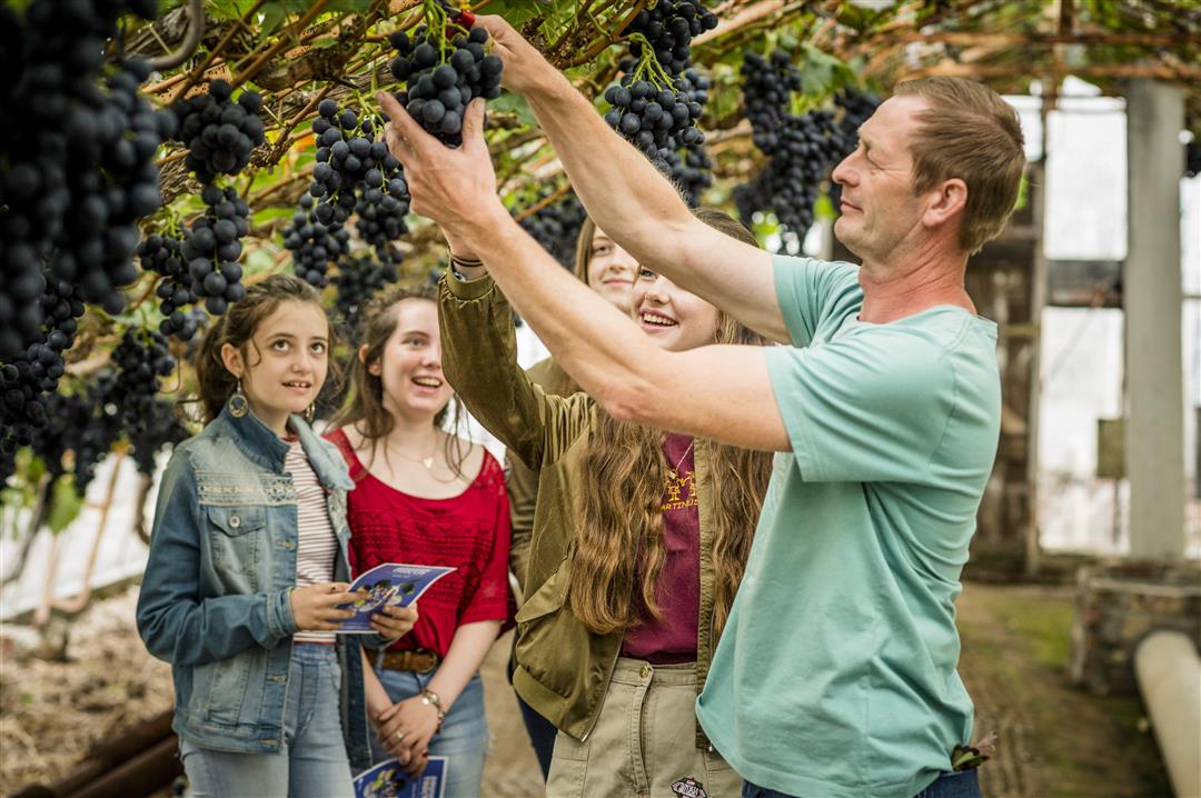
The village of Huldenberg lies deep within the Brabant Plateau on the banks of the IJse River. First, take a detour to the castle grounds, where a man named Felix Sohie first experimented with growing grapes under glass. This marked the beginning of the entire grape-growing tradition. Then you’ll climb out of the valley and enjoy a sweeping view of the region. Back in the valley, you’ll follow the IJse River through the Margijsbos and Smeysbos forests along the beautiful IJsepad trail.
automatic translation
 nodes to follow
0 km
1 km
1.3 km
1.6 km
2.2 km
3.3 km
4.3 km
4.7 km
5.5 km
5.7 km



 Upgrade to Premium Plus


