 Hiking
 Login
Login More
More EN
EN Premium
Huldenberg Grape Walk
automatic translation
5.8 km • Huldenberg
 official route
4430 0 0/5
5.8 km
0.0 km
0.0 km
route offered by
 Addresse starting point (approximate)
Gemeenteplein , 3040 Huldenberg
 signage
The route is fully signposted with nodes.
© Lander Loeckx
 Description
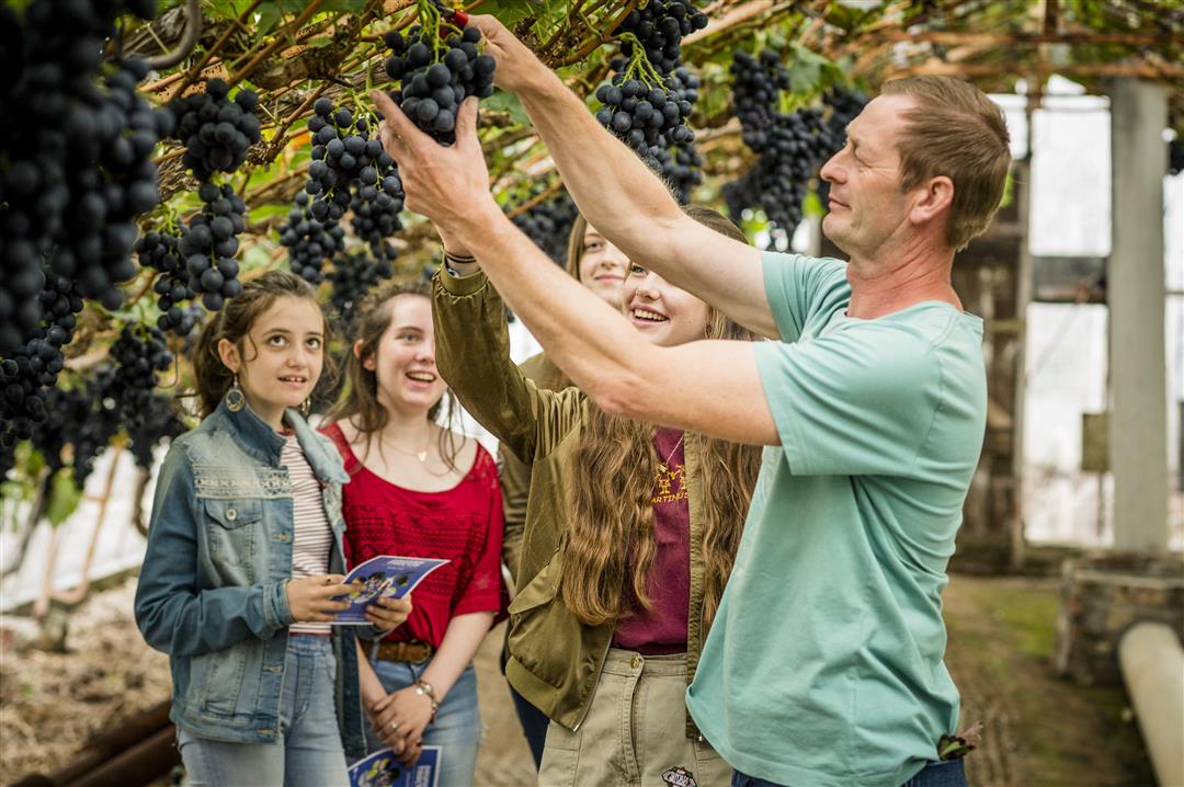
The center of Huldenberg is deeply cut into the Brabant Plateau on the banks of the river IJse. The relief is reflected in the village name: 'Hulden' is said to derive from the old 'Hullen', meaning slope. With the IJse as your guide, explore beautiful Huldenberg, culminating in the castle grounds where Felix Sohie experimented with growing grapes. Enjoy the winding IJse trail and the beautiful views from the plateau.
This walk is offered by Tourism Flemish Brabant.
automatic translation
 nodes to follow
0 km
1 km
1.3 km
1.6 km
2.2 km
3.3 km
4.3 km
4.7 km
5.5 km
5.7 km


 Upgrade to Premium Plus
