 Hiking
 Login
Login
 More
More
 EN
EN
 Premium
Northeast of Malmedy
automatic translation
19.6 km • Waimes
3.2724 0 0/5

 Addresse starting point (approximate)
Chemin Du Cheneux 50, 4950 Ovifat, BE
 signage
The route is not signposted. Use a GPS device or our app to follow the route through the virtual nodes.
 Description
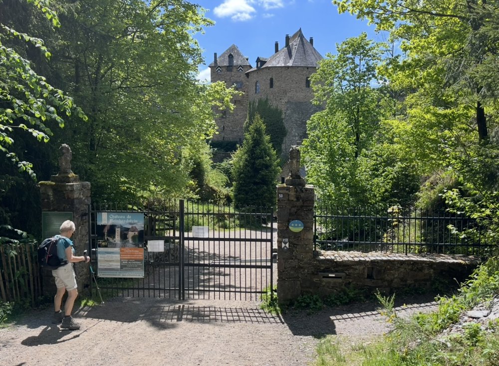
I took the (virtual) starting point as Reinhardstein Castle because I definitely wanted to see it... closed!
In reality, we started from the hotel Le Val d'Arimont. But you can certainly start at junction 87; you can easily park there and have a drink upon your return.
I did the walk in mid-May 2025.
Problem: Towards junction 908, the road suddenly 'disappeared' (meadow). If you look at the map, there is still a path straight ahead, and then you get back on the route. We turned all the way back to junction 298 and walked along a dull asphalt road through Libomont, over the Col de Boussire and along Espérance to junction 908.
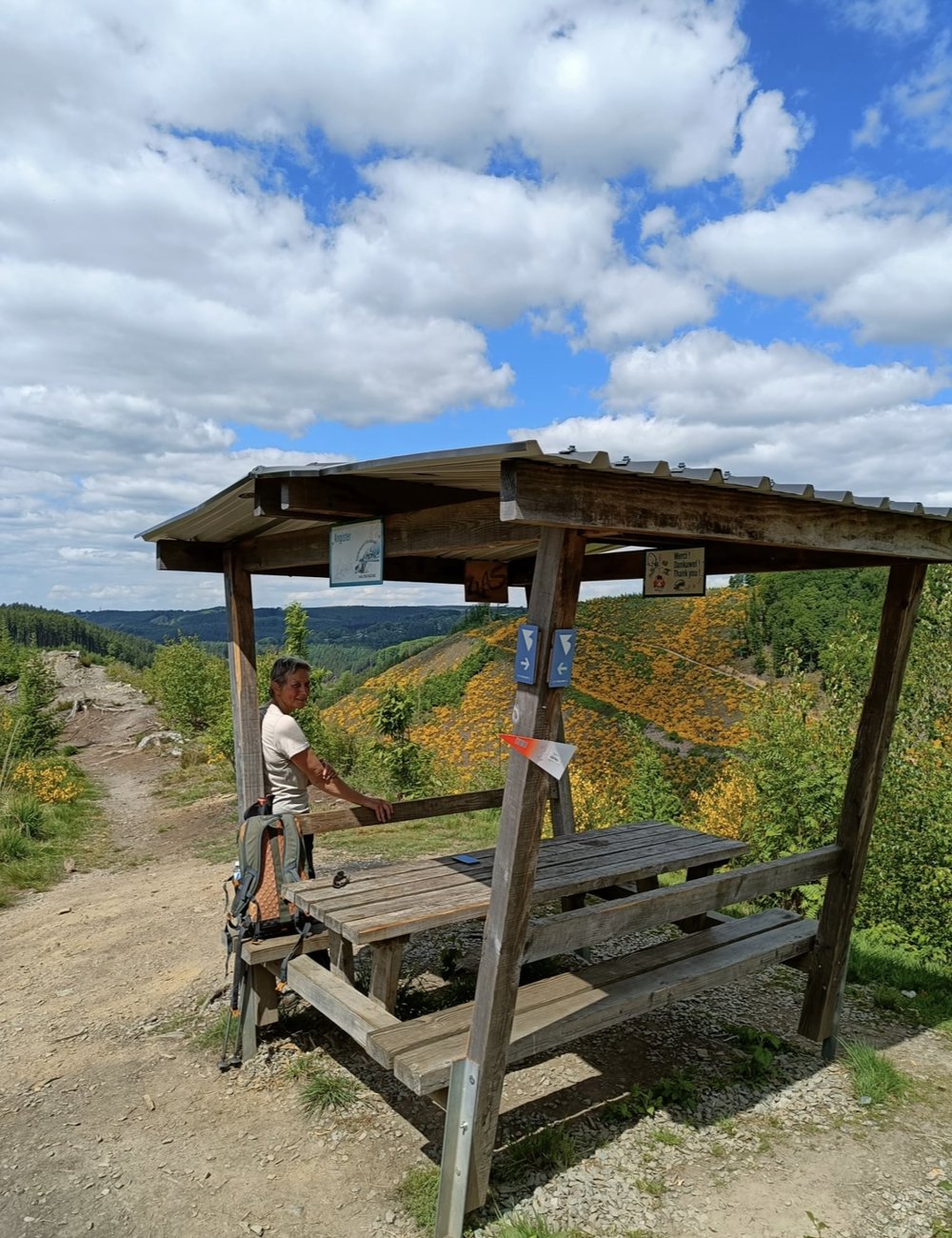
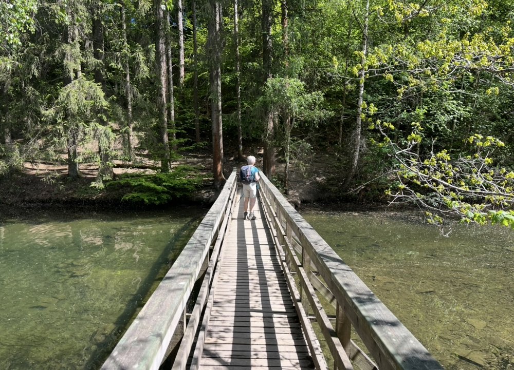
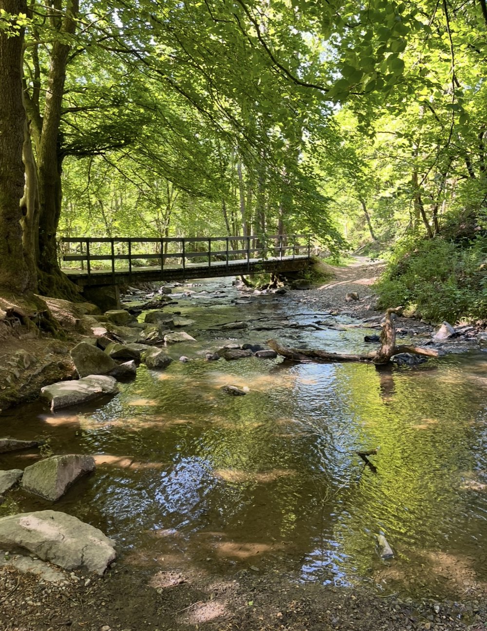
Apart from that, a beautiful route, difficult to choose only 4 photos.
automatic translation
 nodes to follow
0 km
0.6 km
0.8 km
1.9 km
1.9 km
4.5 km
4.9 km
5 km
7.2 km
7.6 km
8.8 km
10.1 km
10.8 km
11.1 km
11.2 km
11.5 km
12 km
13.4 km
13.5 km
14 km
14.3 km
15.9 km
16.7 km
17.8 km
18.9 km
19.1 km
19.2 km
19.3 km
19.6 km


 Upgrade to Premium Plus
