 Hiking
 Login
Login More
More EN
EN Premium
Visiting grape growers
automatic translation
5.9 km • Overijse
 official route
4480 1 4/5
route offered by
 Addresse starting point (approximate)
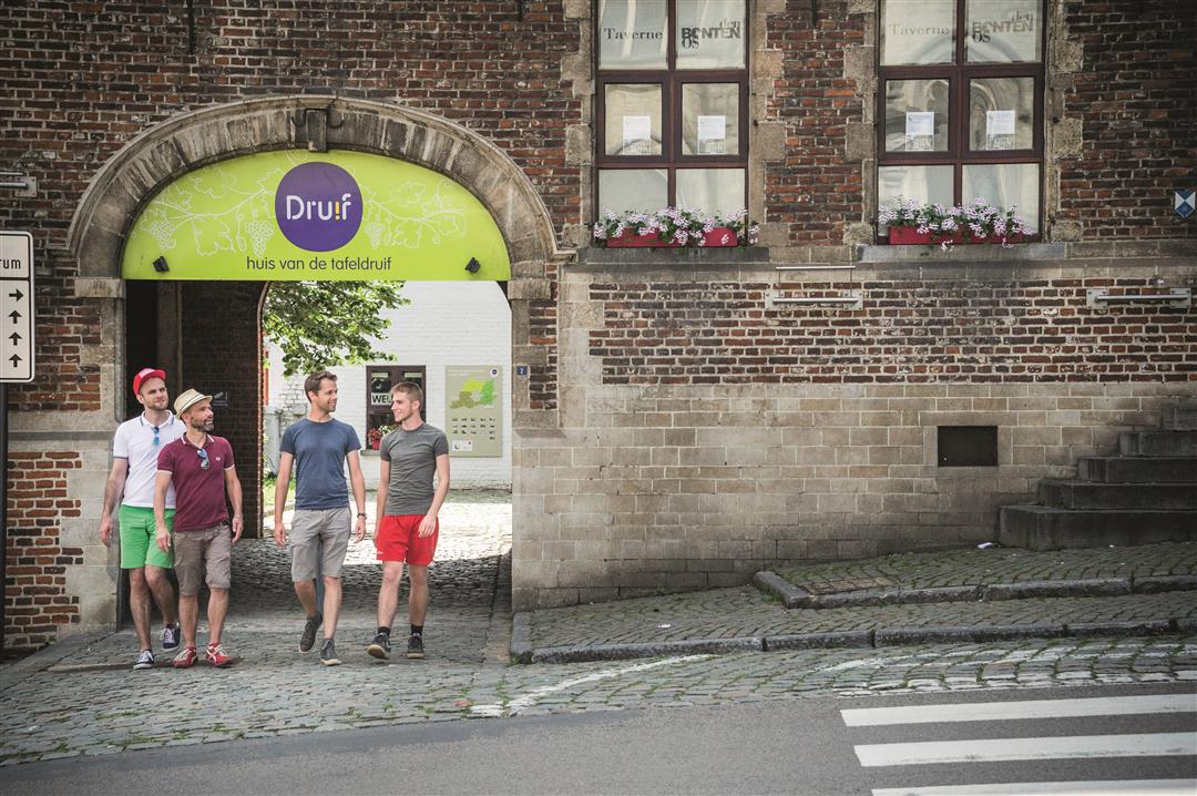
Bezoekerscentrum Dru!f, Waversesteenweg 2, 3090 Overijse
 signage
The route is fully signposted with nodes.
 Description
Depart at Dru!f, home of the table grape, in the heart of Overijse for a walk through the beautiful nature and wooded valleys of the Druivenstreek. You will step through the watery IJse Valley and the hollow roads of the protected landscape Koningsberg. This hike is all about the table grape, as you'll notice at the Solheide Estate, a grape growing demonstration and information farm. About halfway through, you come to the greenhouses of grape grower Roland Vanderkelen (Groeneweg 62). The serrist is the third generation of this small family business. In August and September, Roland takes you into the greenhouses where the full bunches are hanging for the picking.
This walk is offered by Tourism Flemish Brabant.
automatic translation
 nodes to follow
0 km
1.4 km
1.7 km
2.3 km
2.3 km
3.3 km
3.9 km
4.6 km
5 km
5.5 km
5.8 km
5.9 km


 Upgrade to Premium Plus
