Loading...

South of Malmedy

automatic translation

16.2 km • Malmedy

2.5592 1 2.5/5

16.2 km 0.0 km 0.0 km

route offered by

Claudia Pierreux

Icon starting point Addresse starting point (approximate)

Route De Falize 181, 4960 Malmedy, BE

Icon type signage of route signage

The route is not signposted. Use a GPS device or our app to follow the route through the virtual nodes.

5m 5m 5m 5m
Atmosphere image 1 of route South of Malmedy Atmosphere image 2 of route South of Malmedy Atmosphere image 3 of route South of Malmedy
© Claudia Pierreux

Icon description route Description

Parking near the start: Route de Falize.

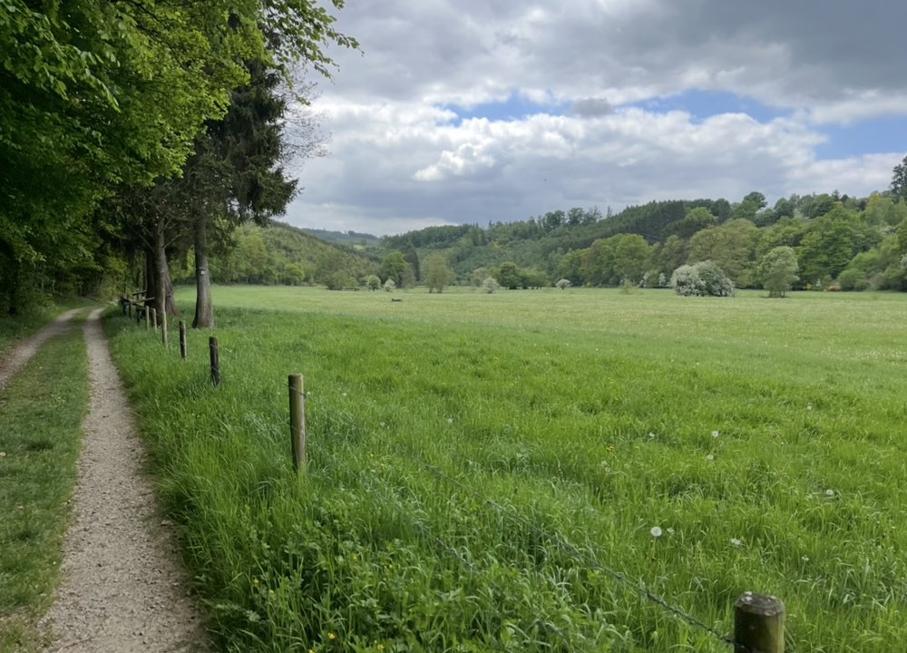
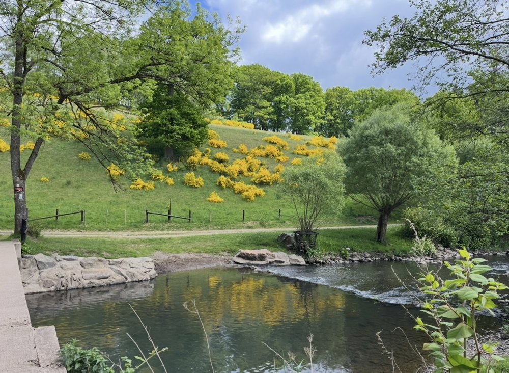
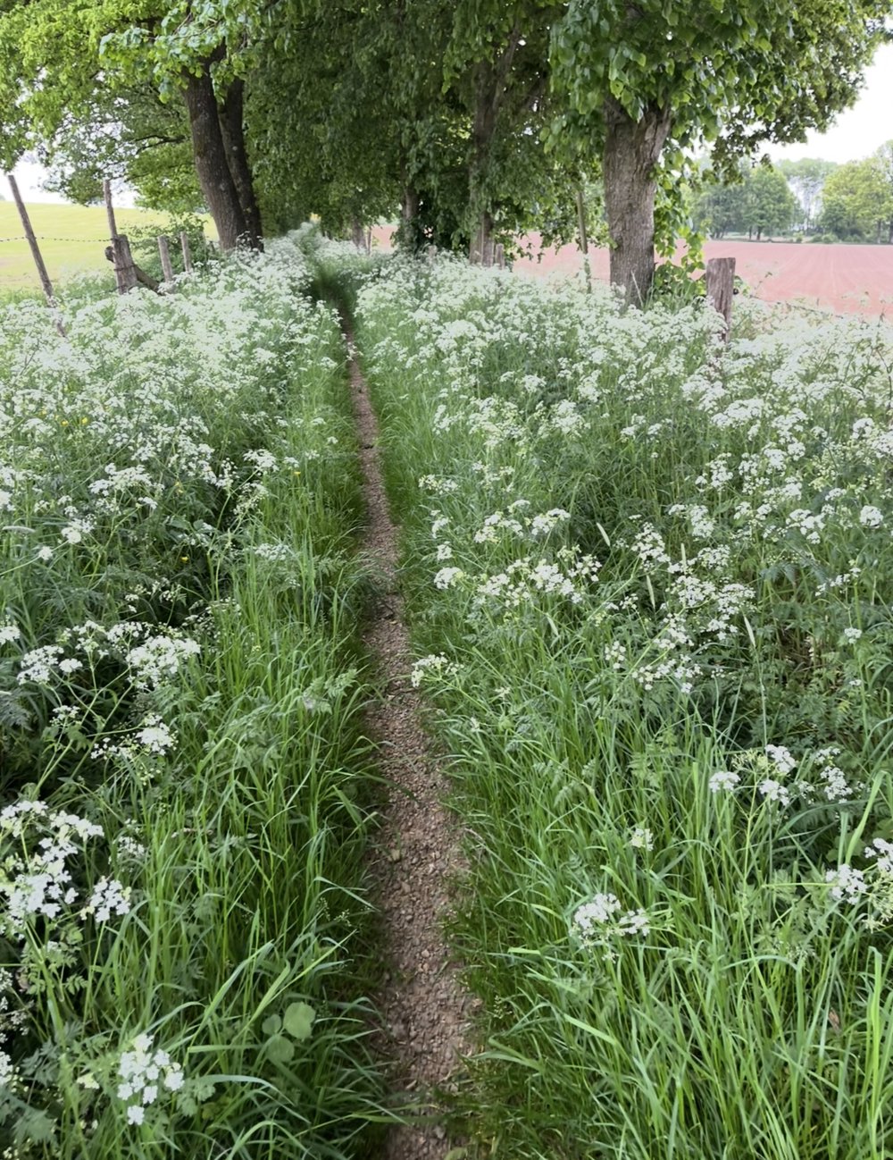
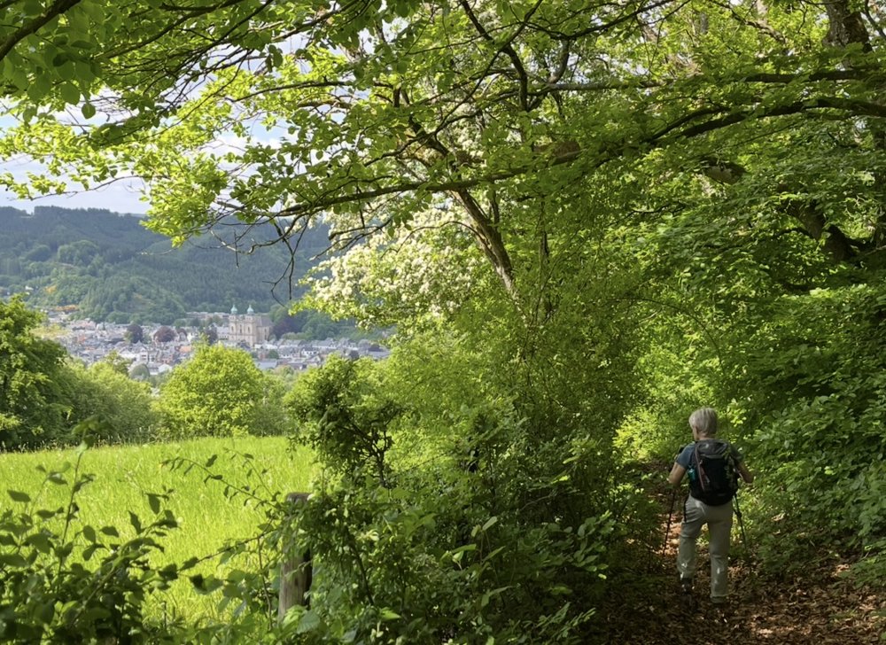
Beautiful surroundings, a walk I definitely want to do again. (Photos from late May 2025)

Alternating along the water and on higher paths. Beautiful views!

automatic translation

Icon nodes to follow nodes to follow

Icon start route
0 km
Icon deviation route
0.5 km
Image node 559
1.4 km
Image node 37
2.9 km
Image node 719
3.2 km
Image node 241
3.6 km
Image node 93
4 km
Image node 113
5.8 km
Image node 6
7.5 km
Image node 706
7.6 km
Image node 112
8.2 km
Image node 124
9.2 km
Image node 605
9.8 km
Image node 391
10.6 km
Image node 391
10.7 km
Image node 391
10.7 km
Image node 8
12.3 km
Image node 636
13.1 km
Image node 534
13.8 km
Image node 195
15.1 km
Image node TP
16.2 km
This route has 1 review(s).
Rate route!

Tuesday, May 5, 2026 by Caroline Lecomte I'm surprised to see hiking trail junctions in Malmedy??? There aren't any; they're colored rectangular markers paired with an animal pictogram. Could you please clarify this for me? Thanks a lot
automatic translation

Which POI do you want to show on the map?

Experimental hiking network
Unsigned icon

The route you have chosen runs (partly) along an experimental virtual hiking node network (the blue-coloured nodes and sections on the map).

You must be logged in to plan routes here.

Experimental hiking network
Unsigned icon

The route you have chosen runs (partly) along an experimental virtual hiking node network (the blue-coloured nodes and sections on the map).

These routes are not controlled in the field. Before you start hiking here, take a minute to read what an experimental hiking node network is and what rules you should follow when hiking here.