Loading...

Pajottegem (Gooik-Kester)

automatic translation

12.4 km • Pajottegem

3.5286 0 0/5

12.4 km 0.0 km 0.0 km

route offered by

Peter XX

Icon starting point Addresse starting point (approximate)

Dorpsstraat 31, 1755 Pajottegem, BE

Icon type signage of route signage

The route is fully signposted with nodes.

5m 5m 5m 5m
Atmosphere image 1 of route Pajottegem (Gooik-Kester) Atmosphere image 2 of route Pajottegem (Gooik-Kester) Atmosphere image 3 of route Pajottegem (Gooik-Kester)
© Peter D'hont

Icon description route Description

Departure: Saint Nicholas Church - Dorpsstraat - Pajottegem

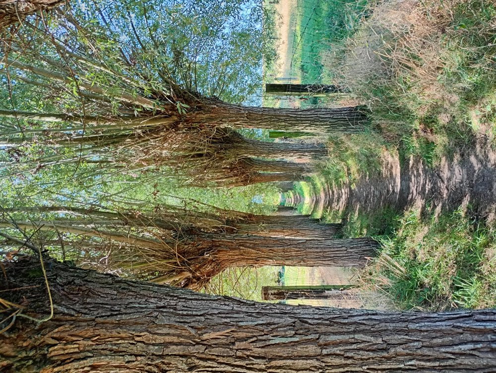
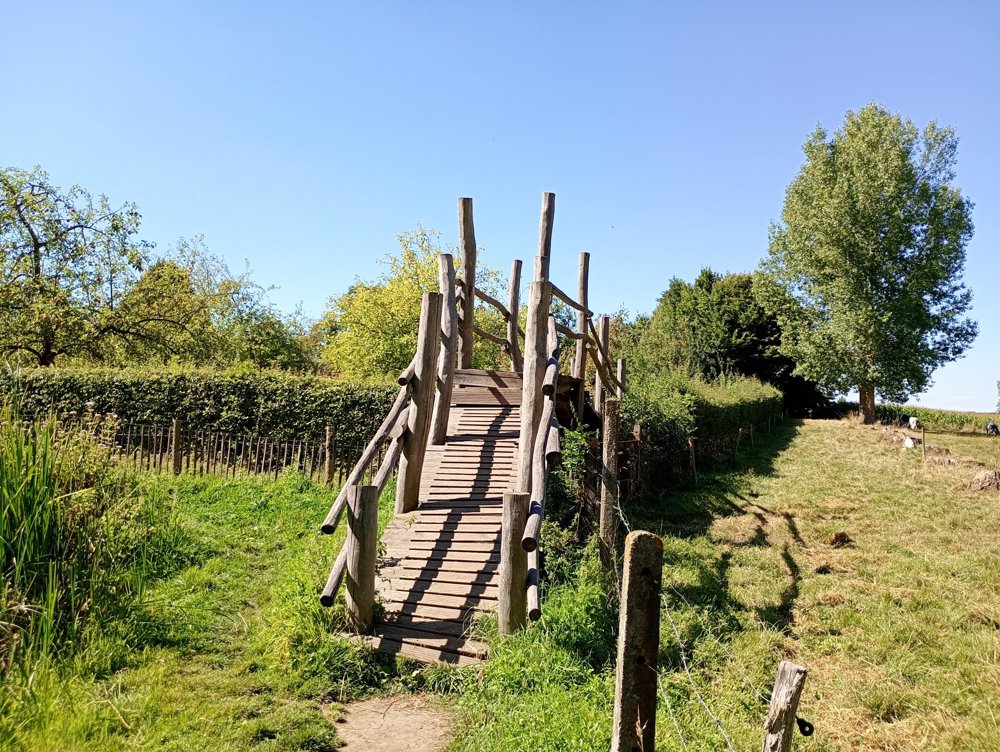
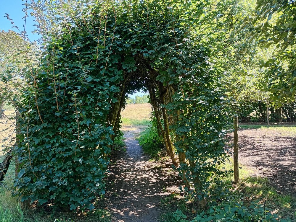
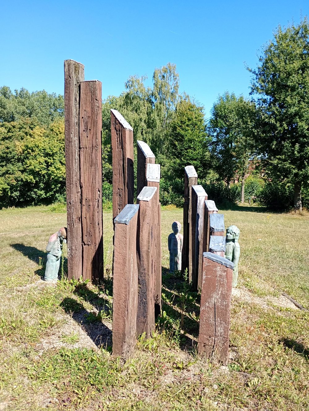
This is a village walk through small village centers in Pajottegem. On this varied walk, we pass by different forests (Lomberbos, Kesterheide), a NATO command post, the tomb of Staf De Clercq, the monument of the Iron Man, and the Pervivopark, a park commemorating children who died young from a metabolic disease.

A sanitary stop is possible between junctions 213-200 and/or 263-212.

automatic translation

Icon nodes to follow nodes to follow

Image node 27
0 km
Image node 28
0.5 km
Image node 203
0.8 km
Image node 222
1.6 km
Image node 221
2.5 km
Image node 220
2.6 km
Image node 213
2.8 km
Image node 200
3.3 km
Image node 215
3.8 km
Image node 215
3.9 km
Image node 215
3.9 km
Image node 215
3.9 km
Image node 216
4.6 km
Image node 255
5.2 km
Image node 254
5.6 km
Image node 257
6.4 km
Image node 256
6.7 km
Image node 264
7.5 km
Image node 263
7.7 km
Image node 212
8.9 km
Image node 20
9.3 km
Image node 210
10.2 km
Image node 205
10.8 km
Image node 206
11.8 km
Image node 27
12.3 km
This route does not have any reviews yet. Be the first!
Rate route!

Which POI do you want to show on the map?

Experimental hiking network
Unsigned icon

The route you have chosen runs (partly) along an experimental virtual hiking node network (the blue-coloured nodes and sections on the map).

You must be logged in to plan routes here.

Experimental hiking network
Unsigned icon

The route you have chosen runs (partly) along an experimental virtual hiking node network (the blue-coloured nodes and sections on the map).

These routes are not controlled in the field. Before you start hiking here, take a minute to read what an experimental hiking node network is and what rules you should follow when hiking here.