
 Hiking
 Login
Login
 More
More
 EN
EN
 Premium
from Ternat to Asse
automatic translation
14.2 km • Ternat
5.1039 0 0/5

 Addresse starting point (approximate)
Morettestraat 5, 1740 Ternat, BE
 signage
The route is not signposted. Use a GPS device or our app to follow the route.
 Description
Departure: Parking lot shopping center The Leaf - Morettestraat 11 - 1740 Ternat
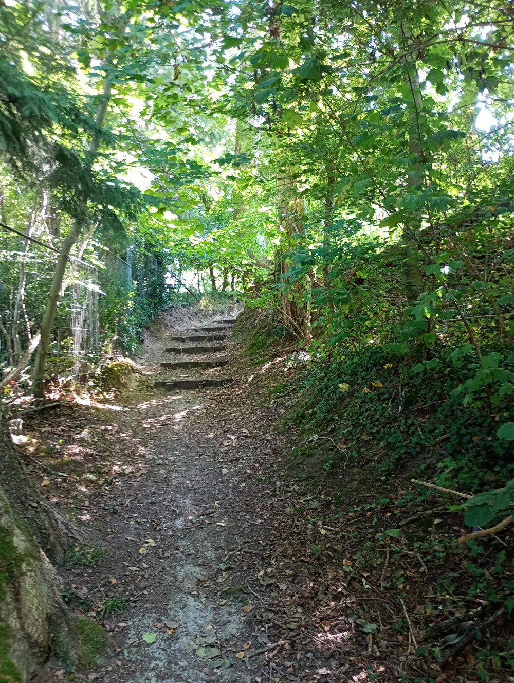
We leave the industrial area and the shopping center behind us and walk to the Ijzenbeek Forest. The paths in this forest are sandy (for riders), so this path can become quite muddy during rainy periods.
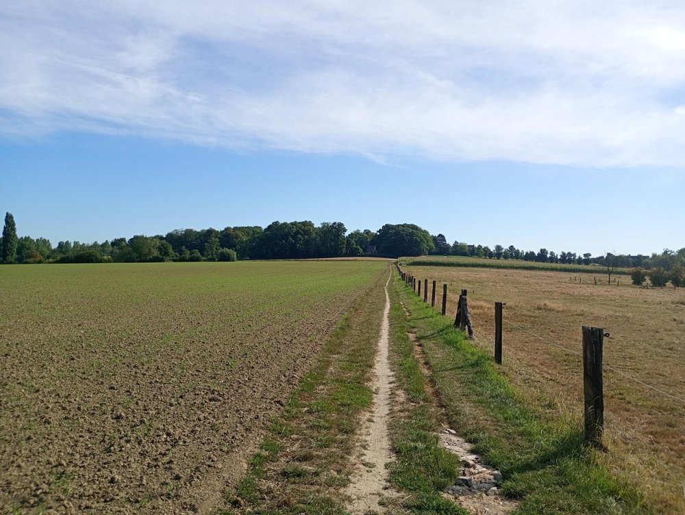
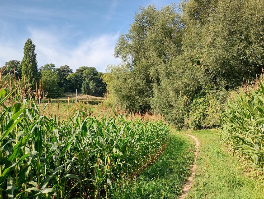
Then a beautiful walk through the fields and meadows. Many horses are kept here. The area is slightly hilly.
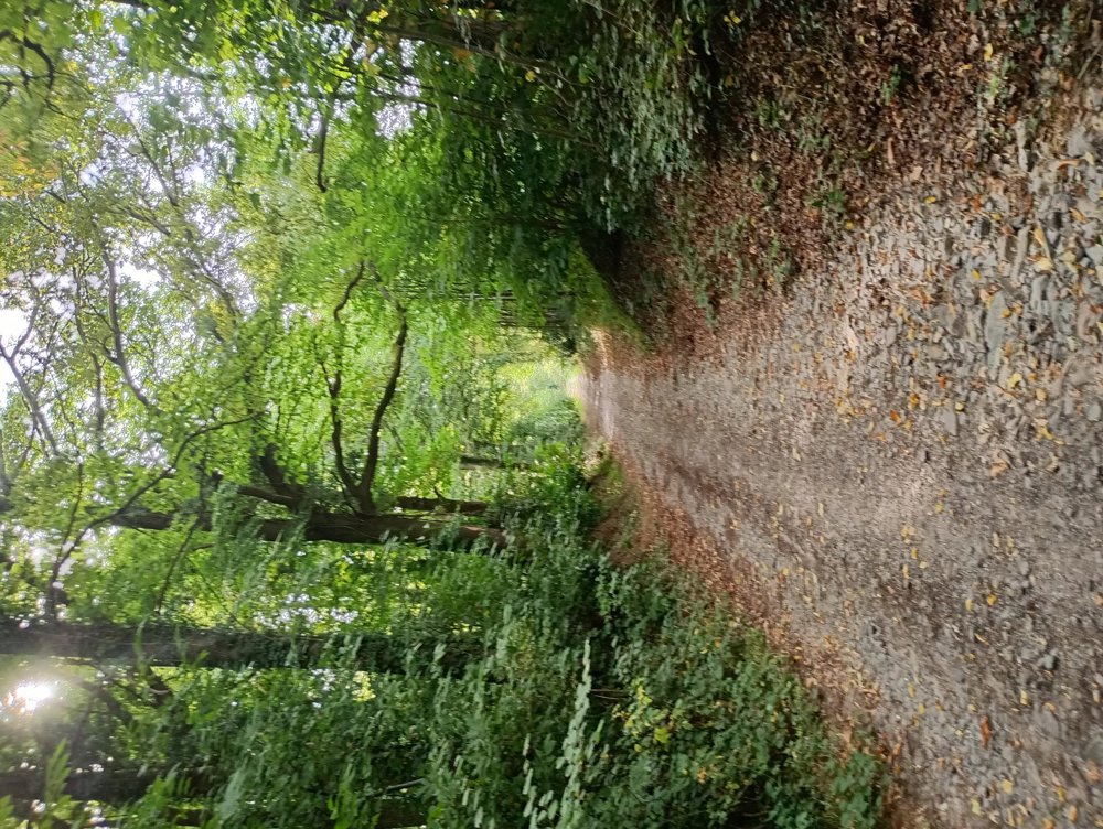
Once in the center of Asse, there is enough hospitality to take a sanitary break. Afterwards, return to the parking lot through fields and forest.
The first 3 km you can still hear a rumbling noise from the E40 in the distance, but afterwards it is very quiet. There is a market in Asse on Tuesday morning.
automatic translation



 Upgrade to Premium Plus


