 Hiking
 Login
Login
 More
More
 EN
EN
 Premium
Den Dotter (Erpe Mere) with extensions
automatic translation
15.2 km • Erpe-Mere
6.23712 3 4.7/5

 Addresse starting point (approximate)
Gotegemstraat 1, 9420 Erpe-Mere, BE
 signage
The route is partially signposted with nodes. Use a GPS device or our app to follow the route.
 Description
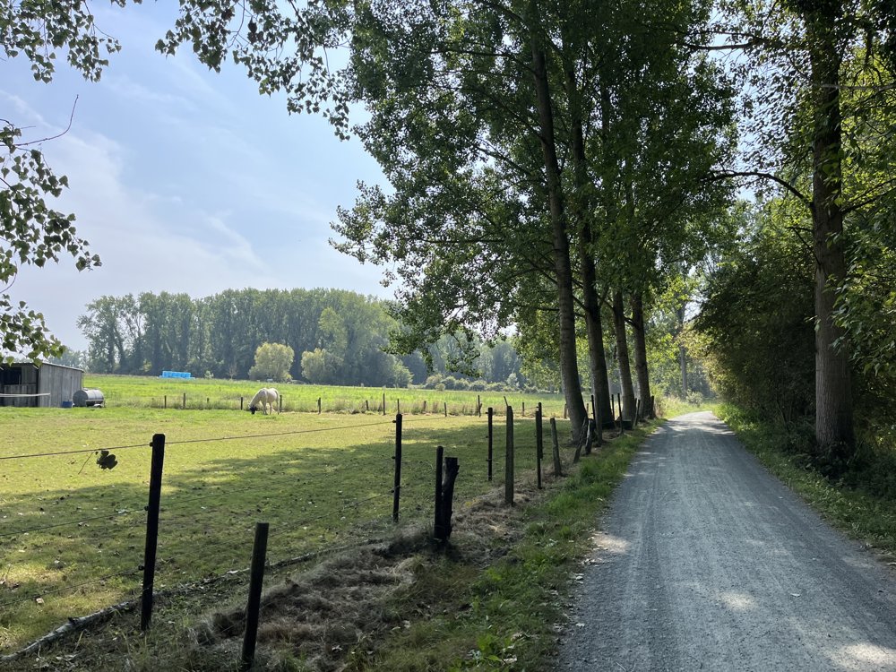
For true nature lovers!
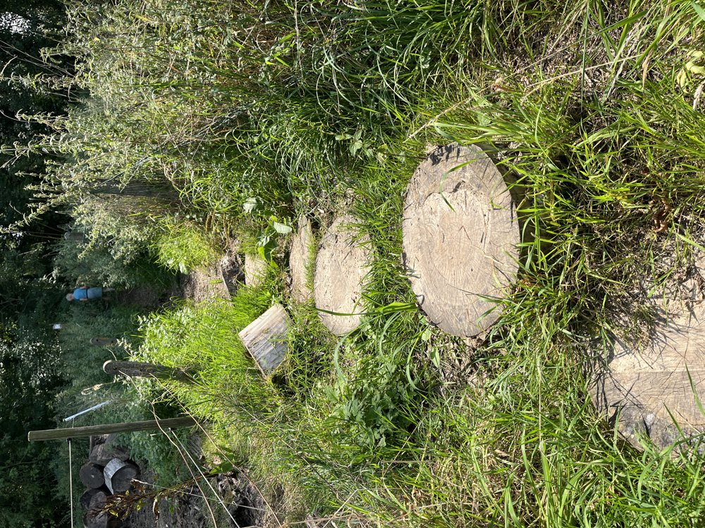
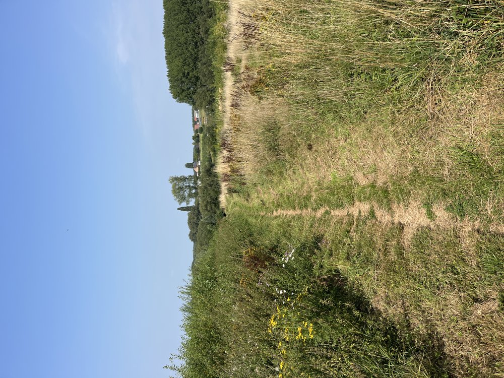
Only three small sections in the residential area. Walk conducted in very dry weather. Under normal circumstances, waterproof shoes and long trousers are not a luxury (tall grasses, nettles, thistles, ...).
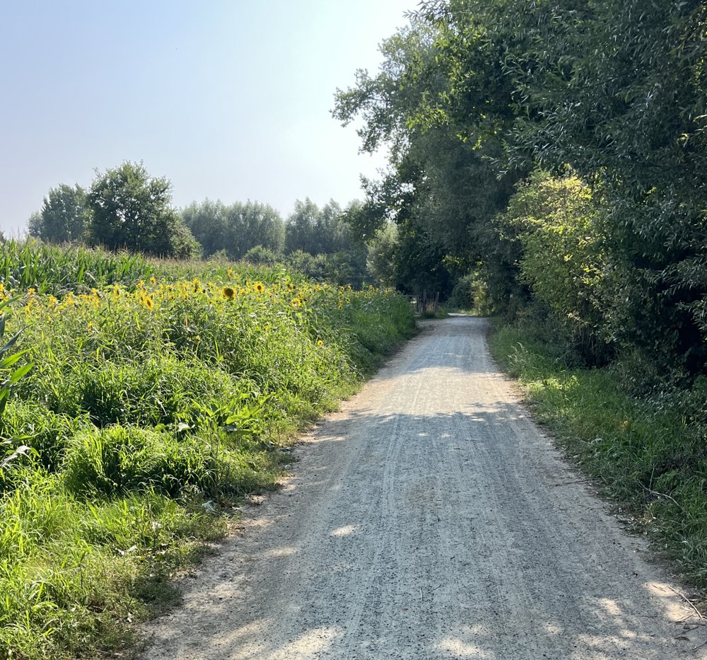
Genuine nature trails. Varied environment through forest, fields, and gravel paths in the Den Dotter nature reserve itself.
At the start/finish, there is an opportunity to have a drink (Café Cabere) along the way at Aaigemdries (Groot Geluk). Parking is available near the start.
automatic translation
Sunday, April 12, 2026 by G.D.A beautiful walk with a varied network of lovely trails...
automatic translation
Monday, November 10, 2025 by Yves Van HegheBeautiful walk through forests and fields.
automatic translation
Sunday, September 28, 2025 by Dirk DierickxWonderful hike, you'll totally unwind with the cherry on top of the cake or rather the ice cream at the Aaigem Dries
automatic translation


 Upgrade to Premium Plus
