 Hiking
 Login
Login
 More
More
 EN
EN
 Premium
fort of Bornem - via forest and Scheldt
automatic translation
16.6 km • Bornem
5.21614 1 5/5

 Addresse starting point (approximate)
Barelstraat, 2880 Bornem, BE
 signage
The route is not signposted. Use a GPS device or our app to follow the route.
 Description
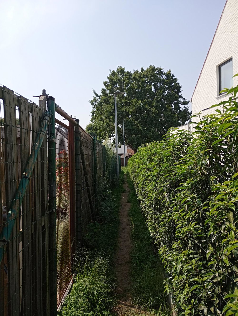
Departure: Sportcomplex Breeven parking - Barelstraat 111 - Bornem
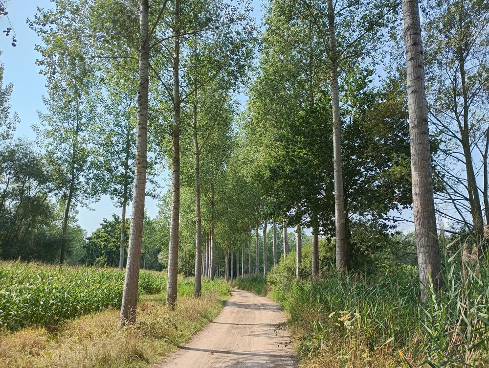
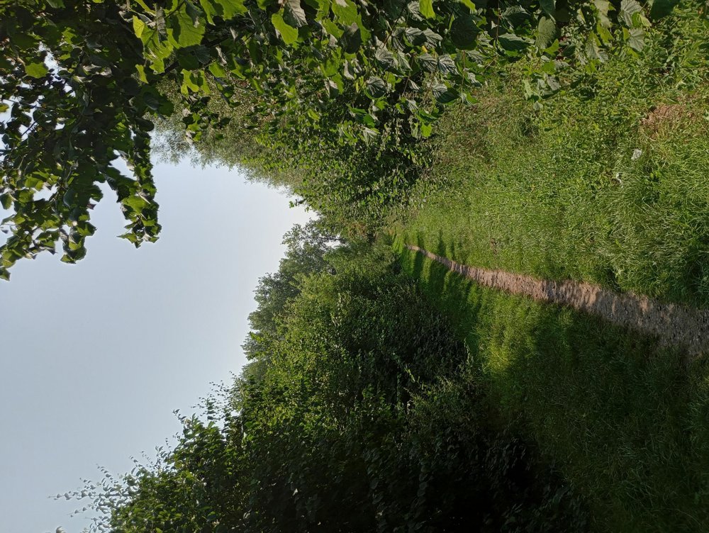
Via small local roads, we walk to the forest, and then continue our way along the Schelde. In Branst, by the church, there's the possibility of taking a sanitary stop.
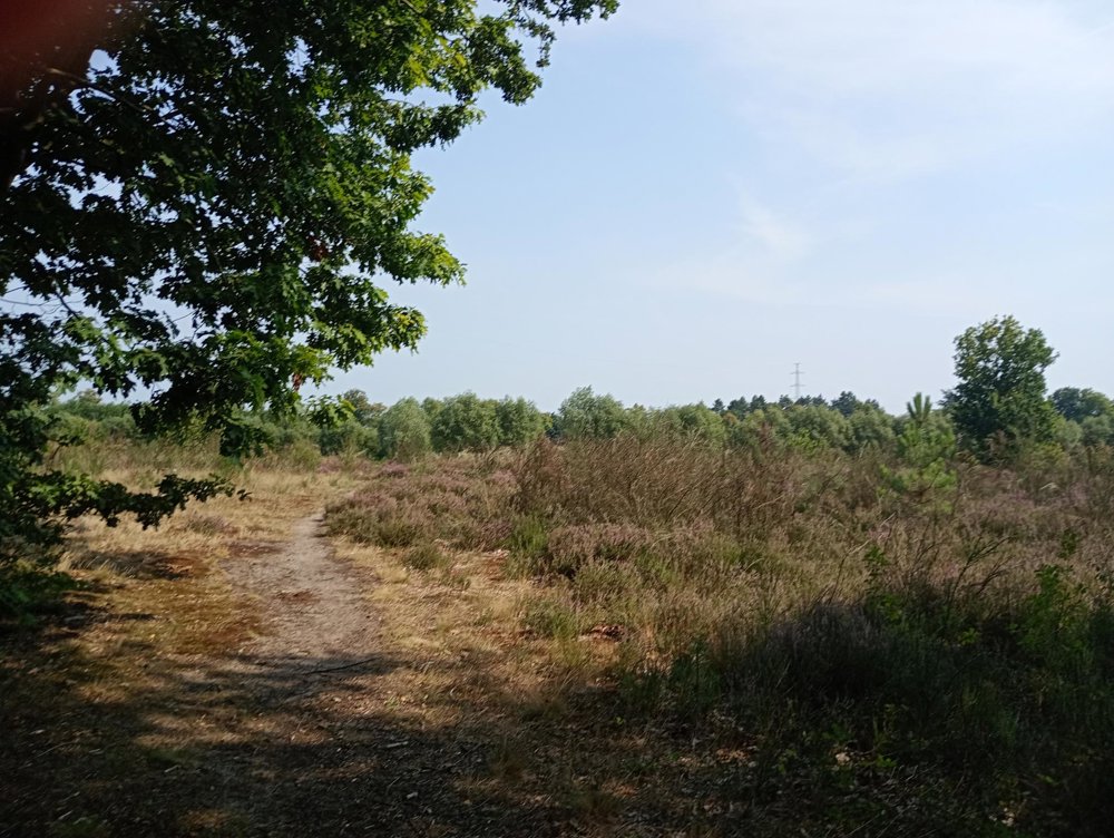
After this stop, we walk through the Hoogheide, a nature reserve where trees have been cleared in the hope of reviving the heath.
Afterwards, we pass by the fort of Bornem to end around the pond of the Breeven, where our walk began.
A small detour to the children's farm Barelhoeve is worthwhile for those who want to enjoy a homemade ice cream.
automatic translation
 nodes to follow
0 km

0.2 km
0.4 km
0.9 km
1 km
1.3 km
1.5 km
2.2 km
3.1 km
4.3 km
5.3 km
5.8 km
6.2 km
6.6 km
7 km
7.6 km
8.5 km
8.8 km
9.2 km
9.5 km
10.2 km
10.3 km
10.6 km
11.1 km
11.4 km
11.9 km
12.7 km
13.4 km
15.1 km
16 km

16.5 km
Sunday, October 12, 2025 by V.E.Nice varied hike, perfect stop +- in the middle of the hike at the Scheldt river, watch out at km 10,5 path in the forest a bit harder to find, watch carefully on the app, perfect combination of roads and varied landscapes. Fan of this tour planner! Keep up the good work!!!
automatic translation


 Upgrade to Premium Plus
