Loading...

Herne and surroundings

automatic translation

14 km • Pajottegem

2.63412 0 0/5

14 km 0.0 km 0.0 km

route offered by

Claudia Pierreux

Icon starting point Addresse starting point (approximate)

Aerebeekstraat 11, 1540 Pajottegem, BE

Icon type signage of route signage

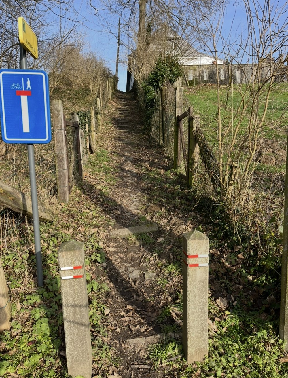
The route is fully signposted with nodes.
5m 5m 5m 5m
Atmosphere image 1 of route Herne and surroundings Atmosphere image 2 of route Herne and surroundings Atmosphere image 3 of route Herne and surroundings
© Claudia Pierreux

Icon description route Description

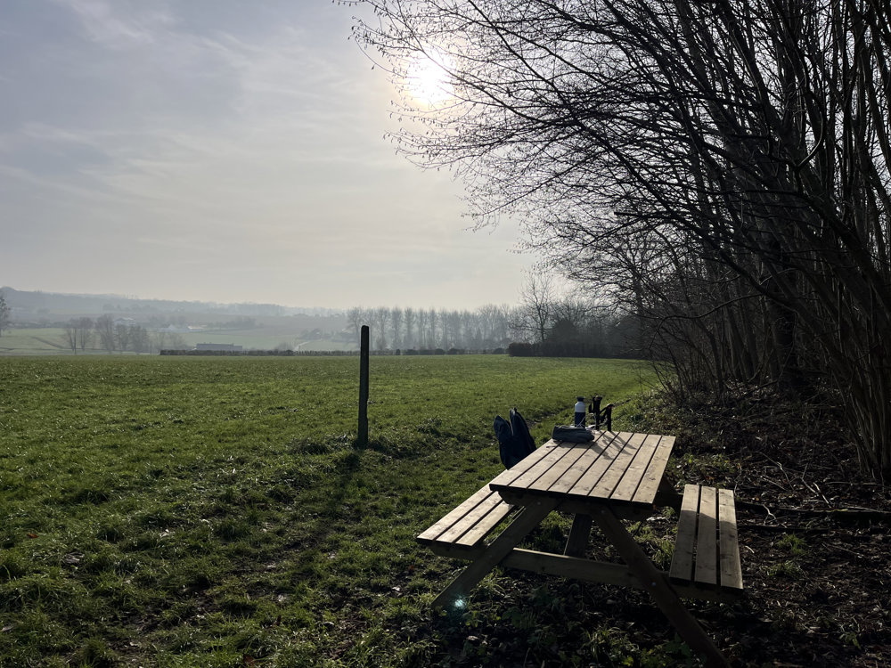
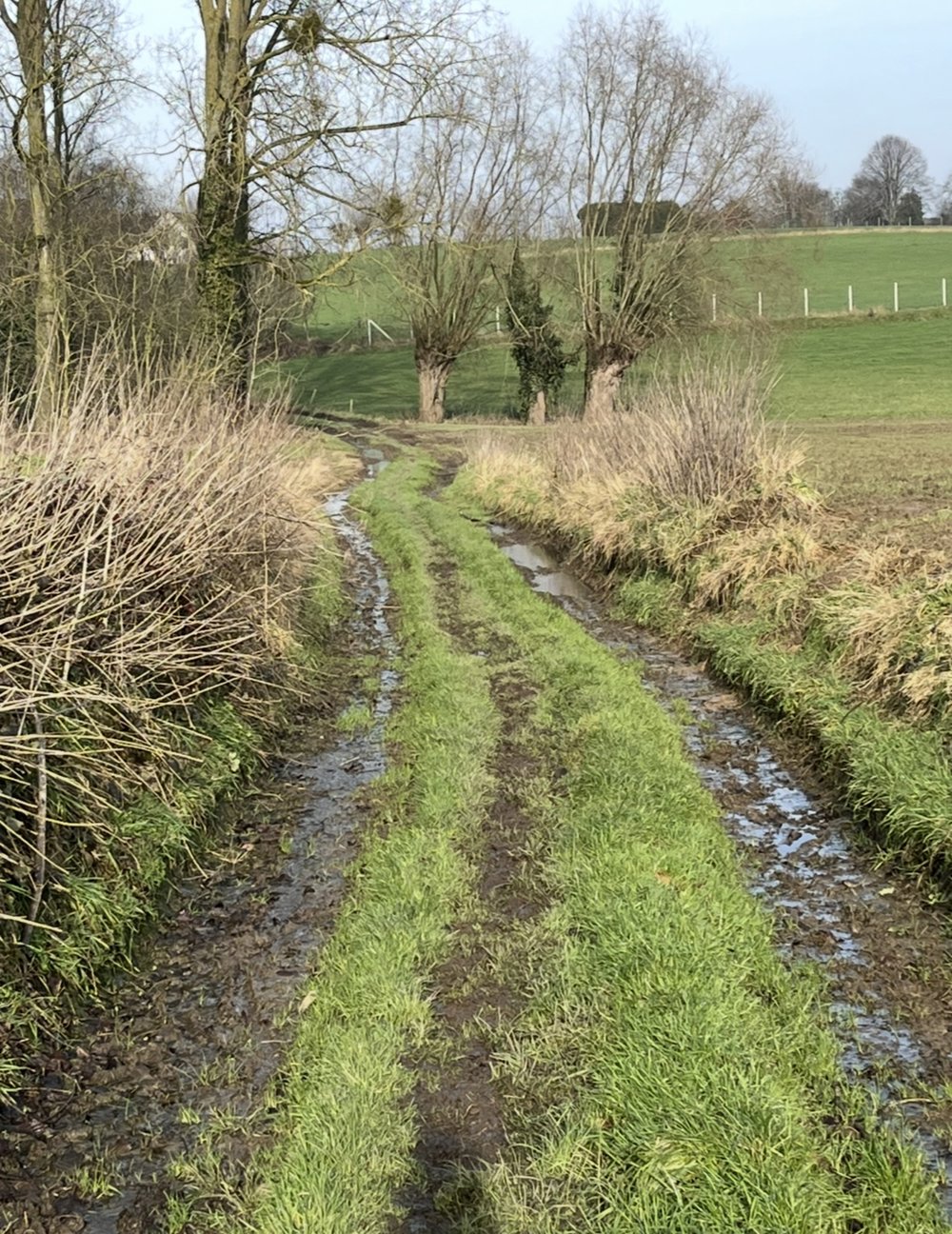
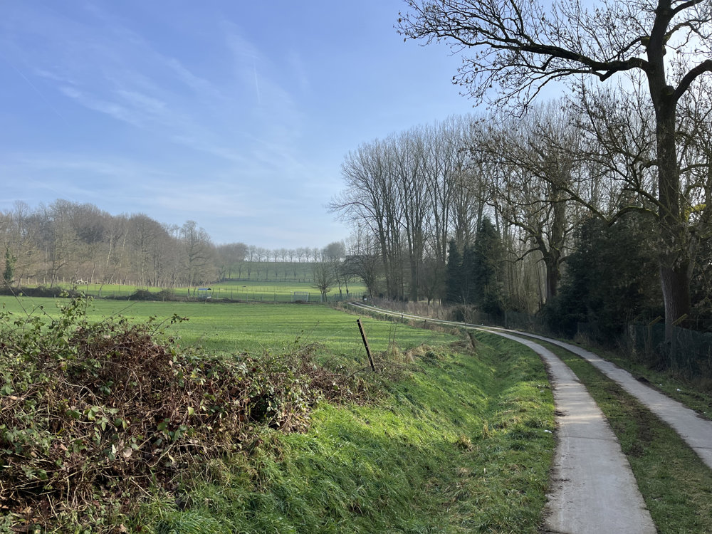
The route contains only a few unpaved paths, but the beautiful nature, the varied rolling landscape, and the beautiful views make this walk well worth it.

Parking is available between junctions 4 and 407 at the cemetery of Herne or in Kapellestraat where there are plenty of parking spaces.

automatic translation

Icon nodes to follow nodes to follow

Image node 407
0 km
Image node 408
0.3 km
Image node 427
1.8 km
Image node 434
2 km
Image node 433
2.6 km
Image node 449
4 km
Image node 450
5.8 km
Image node 436
7.5 km
Image node 437
8.2 km
Image node 405
9.8 km
Image node 404
11.1 km
Image node 403
11.5 km
Image node 4
12.6 km
Image node 407
14 km
This route does not have any reviews yet. Be the first!
Rate route!

Which POI do you want to show on the map?

Experimental hiking network
Unsigned icon

The route you have chosen runs (partly) along an experimental virtual hiking node network (the blue-coloured nodes and sections on the map).

You must be logged in to plan routes here.

Experimental hiking network
Unsigned icon

The route you have chosen runs (partly) along an experimental virtual hiking node network (the blue-coloured nodes and sections on the map).

These routes are not controlled in the field. Before you start hiking here, take a minute to read what an experimental hiking node network is and what rules you should follow when hiking here.