 Hiking
 Login
Login
 More
More
 EN
EN
 Premium
Erpe-Mere 14 km
automatic translation
14.2 km • Erpe-Mere
3.80711 1 4/5

 Addresse starting point (approximate)
Oudenaardsesteenweg 456, 9420 Bambrugge, BE
 signage
The route is partially signposted with nodes. Use a GPS device or our app to follow the route.
 Description
Departure: parking at cultural center Emotia - Oudenaardsesteenweg 456 - 9420 Erpe-Mere
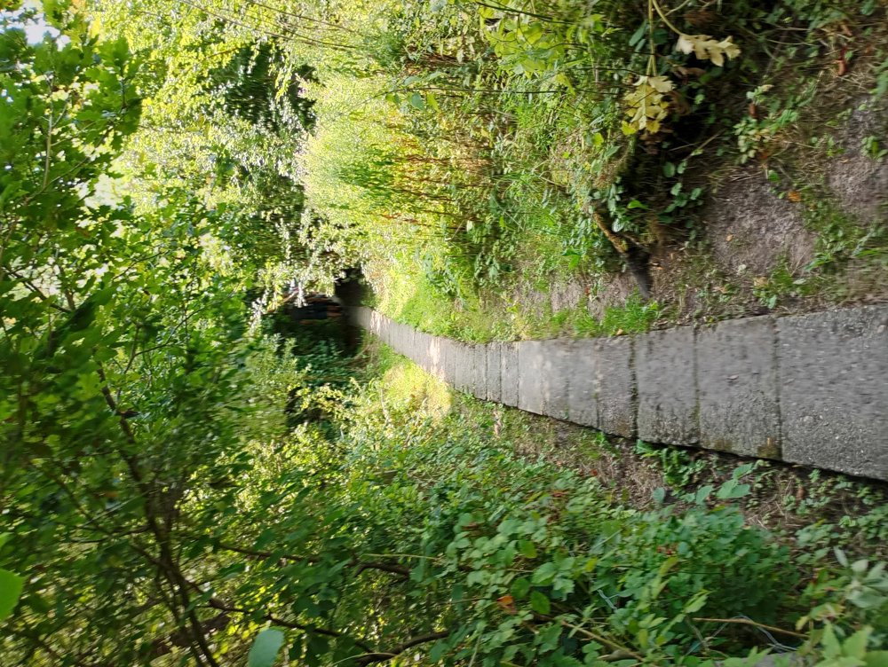
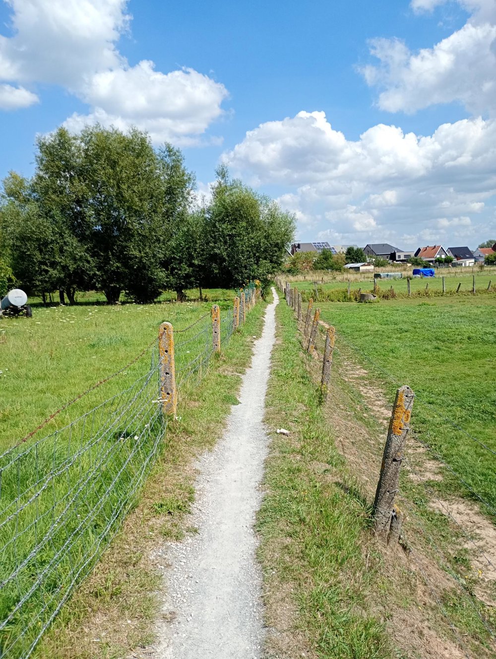
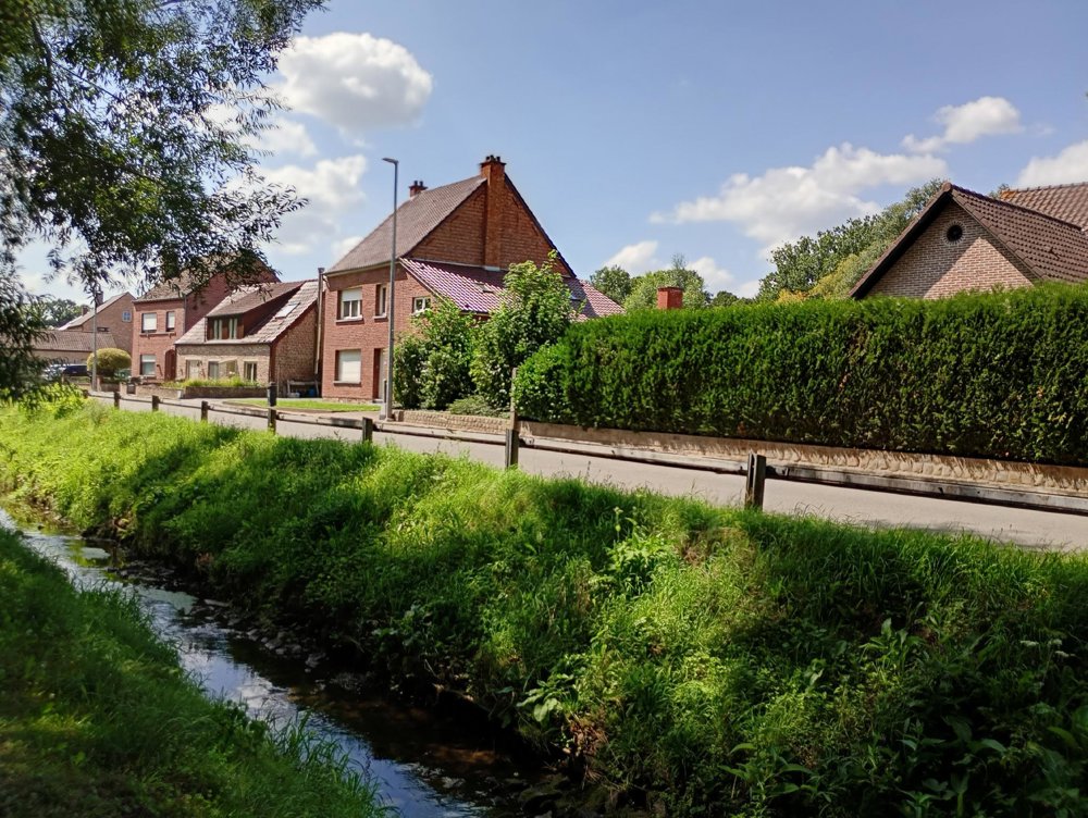
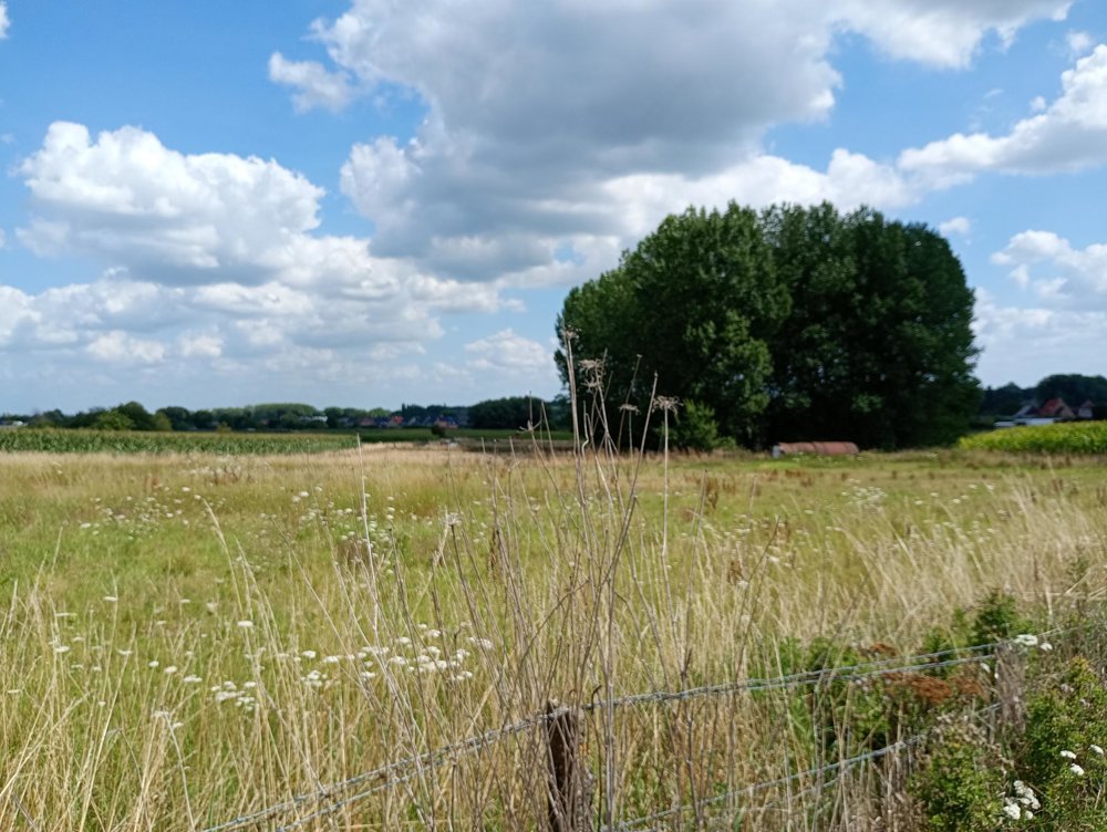
This walk is approximately 2/3 in nature and 1/3 through small village centers.
During the walk, we pass hidden paths and streams just outside the built-up area, next to the backyards of sometimes very large villas.
About halfway, a sanitary stop can be made in Haaltert at junction 34.
automatic translation
 nodes to follow
0 km

0.6 km
1 km
1.5 km
1.9 km
2.8 km
3.3 km
3.9 km
4.9 km
5.8 km
6.4 km
6.9 km
9 km
9.2 km
10.4 km
11.8 km
12.9 km
13.5 km

14.2 km
Wednesday, February 18, 2026 by Johan De PauwAfter all the rain we've had over the past few days, it wasn't actually that bad in terms of mud and water. Between junctions 28 and 19, the footpath has turned into a small stream, and at the end (Visser) there is also a muddy and watery section. The app did its job again. A beautiful route with lots of variety. I'll definitely do this again in the spring.
automatic translation


 Upgrade to Premium Plus
