
 Hiking
 Login
Login
 More
More
 EN
EN
 Premium
Terlanenwandeling
7.8 km • Overijse
 official route
4.22212 4 4.9/5
route offered by

 Addresse starting point (approximate)
Sint-Michielskerk, Bollestraat , 3090 Overijse
 signage
The route is fully signposted with nodes.
 Description
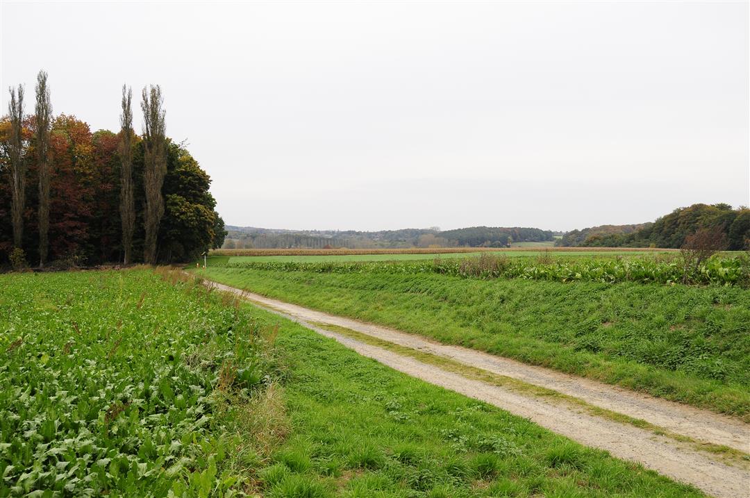
Experience the most rural hamlet in Overijse: Terlanen, on the banks of the Lane River. You’ll walk across the plateau between the Lane and IJse valleys before heading down into the valley itself, climb the slopes of the Rodebos, and arrive at the Terlanenveld. The locals know this field as “Het Kamp,” because at the end of World War II, 72,000 German prisoners of war were housed here in tents and barracks.
automatic translation
 nodes to follow
0 km
0.2 km
0.5 km
0.5 km
1.5 km
1.9 km
2.6 km
3.7 km
3.9 km
4.7 km
5.1 km
5.7 km
7.5 km
7.6 km
7.8 km
Sunday, April 27, 2025 by Eric Beynenice varied walk
automatic translation
Sunday, March 23, 2025 by C.B.Nice, varied walk: woods, a stream to follow, fields. We saw two wild boars, two roe deer and a hare. Not many people along the way, except at the very end. Several interesting houses to look at (old water mills, I think).
automatic translation
Thursday, February 16, 2023 by Paul Van hoovelsBeautiful hike, definitely worth doing. Wonderful trails through beautiful forests and fields.
automatic translation
Monday, November 14, 2022 by Cor van HasseltVery nice hike ! Definitely recommended. Just in the beginning it was a bit searching for node no249 I think there is a sign missing in between but otherwise very nice.
automatic translation



 Upgrade to Premium Plus


