 Hiking
 Login
Login More
More EN
EN Premium
Terlanen Walk
automatic translation
7.7 km • Overijse
 official route
1.1930 2 4.8/5
route offered by
 Addresse starting point (approximate)
Sint-Michielskerk, Bollestraat , 3090 Overijse
 signage
The route is fully signposted with nodes.
 Description
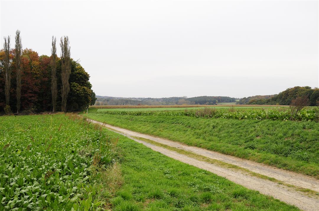
Terlanen is the most rural hamlet in the municipality of Overijse that lies at the lower reaches of the Lane, a small river that rises in Plancenoit near Waterloo and flows into the Dyle. You walk across the municipal border with Huldenberg, across the plateau between the Lane and IJse valleys. Dive into the green Lane Valley and climb the Red Forest. The forest is a remnant of the vast Coal Forest that covered all of central Belgium at the beginning of our era. Pass the Terlanenveld, also known as "The Camp," where a POW camp was established at the end of World War II. 72000 German prisoners of war were housed there in tents and barracks.
This walk is offered by Tourism Flemish Brabant.
automatic translation
 nodes to follow
0 km
0.2 km
0.5 km
0.5 km
1.5 km
1.9 km
2.6 km
3.7 km
3.9 km
4.7 km
5.1 km
5.7 km
7.5 km
7.6 km
7.8 km
Thursday, February 16, 2023 by Paul Van hoovelsBeautiful hike, definitely worth doing. Wonderful trails through beautiful forests and fields.
automatic translation
Monday, November 14, 2022 by Cor van HasseltVery nice hike ! Definitely recommended. Just in the beginning it was a bit searching for node no249 I think there is a sign missing in between but otherwise very nice.
automatic translation


 Upgrade to Premium Plus
